Carter Lake
A deep foothills reservoir west of Berthoud, made for sailing, camping and calm-water sunrises.
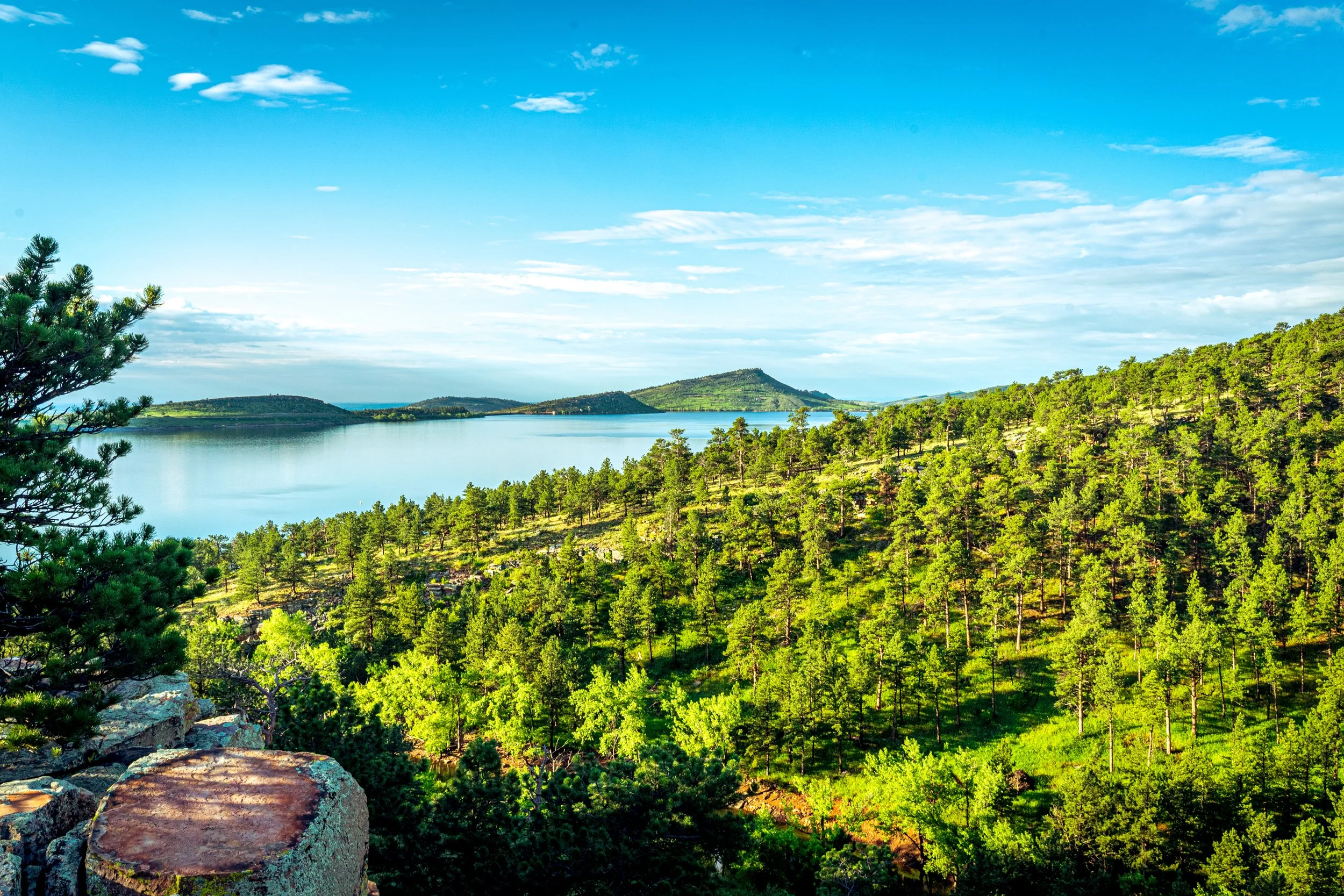
About Carter Lake
Carter Lake is a 1,100-acre reservoir in the foothills southwest of Loveland and northwest of Berthoud in Larimer County. About three miles long and a mile wide, it sits at roughly 5,760 feet, cradled by ridges and surrounded by about 1,000 acres of county park land.
It's a busy summer playground with sailing, boating, swimming, scuba diving, climbing and several campgrounds, but outside peak hours it's a quiet, scenic spot with a real mountain-lake feel just over an hour from Denver.
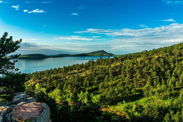
The lake's steep, rocky shoreline and the surrounding foothills make for strong compositions, especially when calm water mirrors the ridges at dawn.
A 5.9-mile out-and-back near Berthoud rated easy enough for most skill levels, with running, camping, fishing, and horses all fair game along the Sundance Trail. Dogs are welcome on leash, and the lake's open shoreline gives you a clean view west toward the foothills for sunset.
History
Carter Lake was built by the U.S. Bureau of Reclamation between 1950 and 1952 as part of the Colorado-Big Thompson Project, which carries Western Slope water under the Continental Divide through the Adams Tunnel. Water is pumped 297 vertical feet from Flatiron Reservoir through a 1.4-mile tunnel into the lake.
With a capacity of about 112,000 acre-feet and depths up to 180 feet, it is one of the project's key East Slope reservoirs, delivering water to Front Range communities and farms. Northern Water and the Bureau of Reclamation operate the reservoir, while Larimer County manages recreation.
Photographing Carter Lake
Best light: Early morning is best for calm water and soft light on the ridges; the wind often picks up later in the day (which sailors love). Sunsets can light up clouds over the foothills, and winter brings quieter shorelines.
Shots to look for
- Calm-water reflections of the surrounding ridges from the shoreline at dawn
- Sailboats on the lake as a scale element with a telephoto
- Rocky shoreline boulders as foreground for a wide sunset
- The dam and reservoir from a higher vantage point to show the lake's shape
- Night sky and star reflections over the water from one of the campgrounds
Photo tips
- Bring a credit or debit card; entrance permit machines don't take cash
- Summer weekends are busy; arrive early for both parking and calm water
- Clean, drain and dry any boats or waders; New Zealand mudsnails were confirmed here in 2026
- Fire restrictions are frequent; check Larimer County before planning a campfire
Know before you go
- An entrance permit is required for all vehicles; camping requires separate reservations through Larimer County
- Boat ramps require aquatic nuisance species inspections and have seasonal hours
- Dogs must be on a leash no longer than 10 feet and aren't allowed at the swim beach
- Hunting is not allowed
Prints from Carter Lake
Every photo is available as a print on metal, canvas, wood or fine art paper.

Frequently asked questions
Do you need a pass for Carter Lake?
Yes. Larimer County requires a daily or annual entrance permit for vehicles, sold at card-only pay stations. Camping requires a separate reservation.
Can you swim at Carter Lake?
Yes, at the designated swim beach, typically open from Memorial Day weekend to mid-September. Dogs aren't allowed on the beach.
How do you get to Carter Lake from Denver?
Take I-25 north to the Berthoud exit (250), head west on Highway 56, then follow County Road 8E west to the lake.
Combine it with
Horsetooth Reservoir · Pinewood Reservoir · Big Thompson Canyon · Rocky Mountain National Park
More Colorado spots
Snodgrass Mountain · Georgetown Loop Railroad · Chatfield Reservoir
Sources & further reading: larimer.gov · northernwater.org · en.wikipedia.org. Conditions, fees and rules change; check with the managing agency before you go.