My Favorite Hikes
Everything below is a spot I've hiked and photographed myself. Search by name, or just scroll.
Browse by theme:Colorado Fall ColorColorado Sunrise SpotsEasy Colorado HikesColorado Winter PhotographyColorado Alpine LakesColorado 14ersPhoto Spots Near DenverColorado WildflowersColorado WaterfallsColorado WildlifeColorado Night Skies & Storms
Heading somewhere without signal? The offline field guide covers 42 of my favorite photo spots in one PDF.
Ohio Pass (The Castles Overlook)
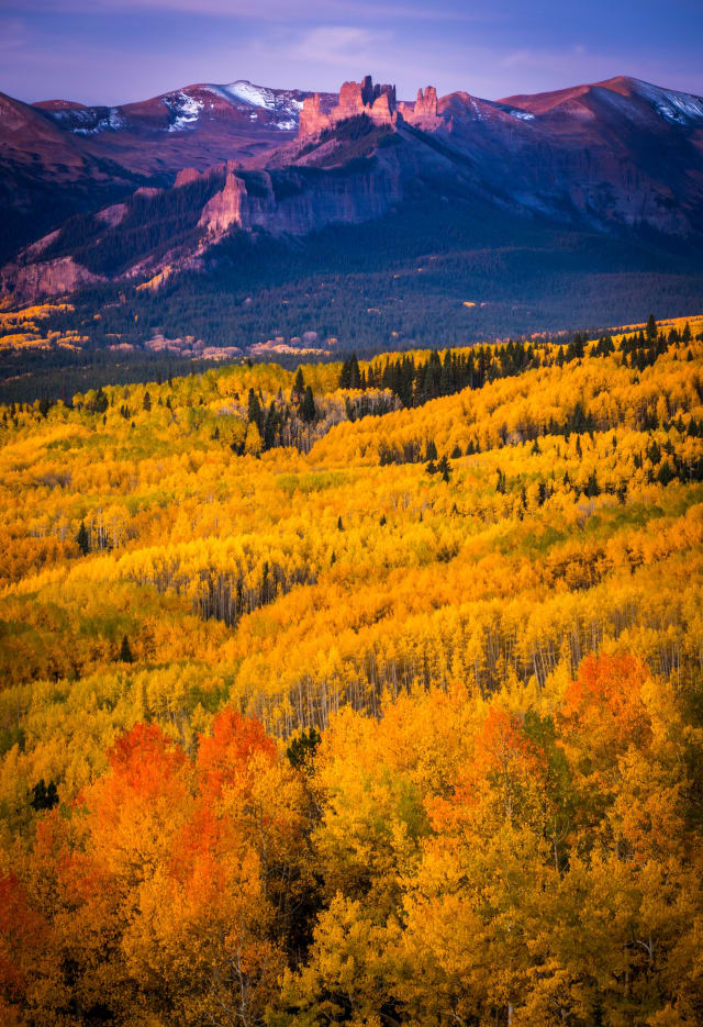
A dirt road over a 10,000-foot gap in the Anthracite Range south of Kebler Pass, best known for the overlook where the pine forest opens and the rock towers called the Castles rise above a huge bowl of aspen. It is a short, easy drive from Crested Butte and one of the best fall-color views in the Gunnison Valley, with no hiking required to reach the main viewpoint. For photographers it is a sunrise spot first: arrive in the dark, set up facing the Castles, and shoot through the alpenglow and the first warm light on the aspens. A wide lens handles the scale, and bracketing helps hold the bright sky and the shadowed ridge together. Midday light still works when the aspens are at peak, and the road is rough enough that a high-clearance vehicle is smart, especially after rain.
Maroon Bells, Aspen
Widely considered the most photographed mountains in Colorado, and for good reason — the reflection of the two maroon-red peaks in Maroon Lake, with aspens turning gold around the shoreline in fall, is about as close to a perfect Colorado postcard as it gets. Reservations are required for vehicle access in season, so plan ahead; sunrise is worth the early alarm, since the crowds are thinner and the light hits the peaks first, well before it reaches the lake itself.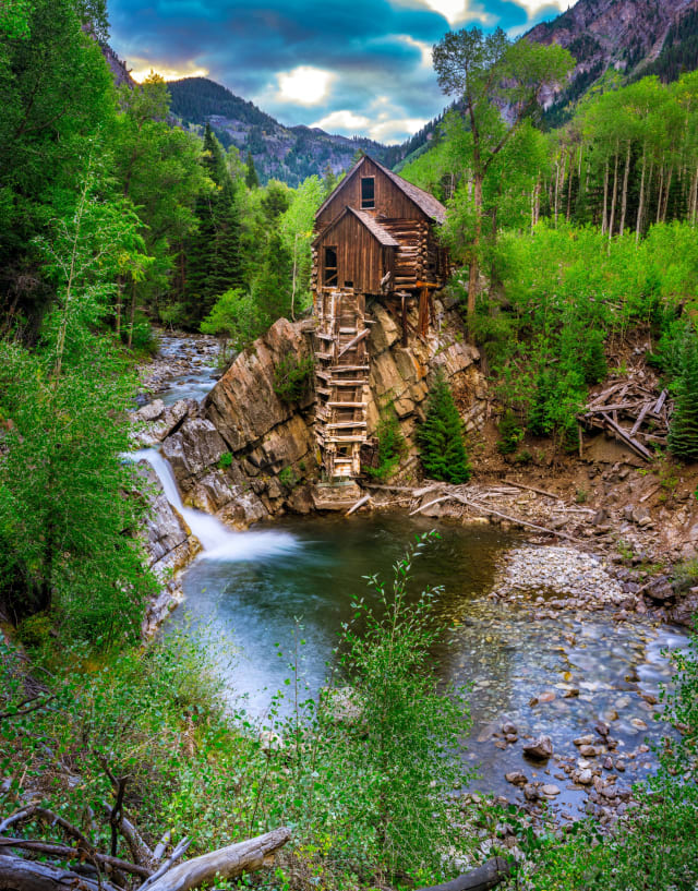
Crystal Mill, Marble
An 1892 wooden powerhouse perched on a rock outcropping above the Crystal River, one of the most recognizable and most photographed structures in Colorado. The mill itself sits on private property, so shots are taken from the road or riverbank across from it — first light is worth the early start here, since midday sun flattens the wood siding and the surrounding cliffs lose their texture entirely.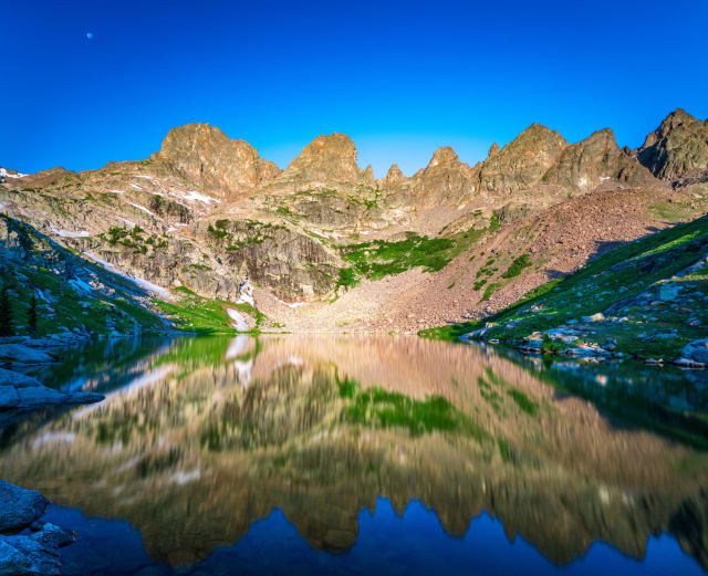
Willow Lakes Trail (Gore Range)
A demanding hike into the Eagles Nest Wilderness from Silverthorne, climbing through aspen and pine before breaking into the open cirque holding Willow Lakes, ringed by the jagged spires locals call the Zodiac Spires. The Gore Range's ridgeline doubles cleanly in the still water on a calm morning — arrive early, since afternoon winds here pick up fast and a mirrored lake can turn to chop within the hour.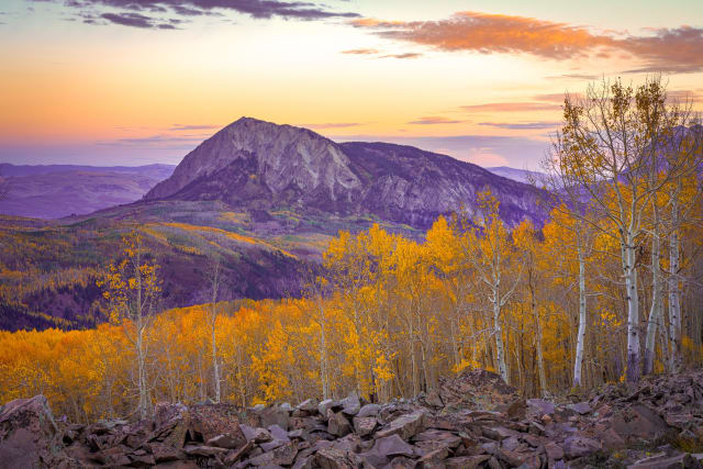
Horse Ranch Park (Kebler Pass Road)
A quiet meadow and trailhead area about 11 miles west of Crested Butte on Kebler Pass Road, at the edge of the Gunnison National Forest and the Raggeds and West Elk Wilderness areas. It is popular with horseback riders and campers, which keeps it far less crowded than the main Kebler viewpoints, and the trails climb through aspen to big open views of the surrounding peaks. For photography, scout a foreground first: boulders, a bend in the trail, or a clump of golden aspens all give the eye a way into a sunrise frame with the peaks behind. In the right week of fall the forest floor turns to a carpet of yellow leaves, and a shaded trail through the trees makes a strong leading line. Go early, bring layers, and expect wind to strip leaves quickly after a storm.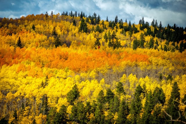
Kenosha Pass
Probably the single most reliable aspen-viewing spot within range of Denver, with the Colorado Trail crossing right at the summit and gentle terrain on both the east and west sides that most hikers can manage easily. Late September into early October is peak color here, and the pass is high and open enough that you get real depth in a photo — foreground aspens, then South Park's plains stretching out behind them.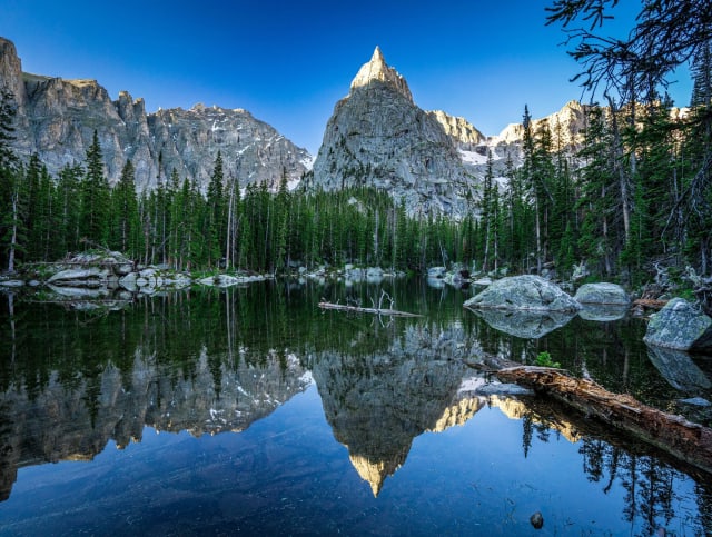
Lone Eagle Peak
This knife-edge summit north of the Indian Peaks Wilderness is one of the most striking mountains in the state — a near-vertical spire that looks almost unclimbable from most angles. Reaching a good vantage point means a long day or an overnight backpack, but the payoff is a mountain shape you won't find anywhere else in Colorado. Shoot it from across the lake at the base for a reflection, or pack a telephoto to compress the spire against the surrounding ridgeline.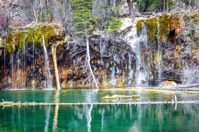
Hanging Lake
One of the most visited short hikes in Colorado, following Dead Horse Creek up through Glenwood Canyon to a National Natural Landmark lake in the White River National Forest. It's an easy drive from Denver, which is part of why it draws the crowds it does — worth timing your visit for early morning if you want the place closer to yourself, and the lake's turquoise color needs direct sun to really show up in a photo.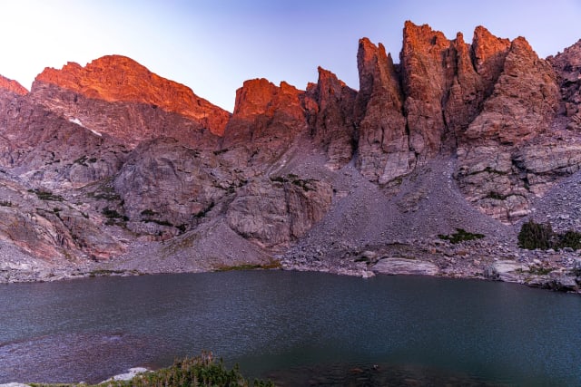
Sky Pond
A 9.4-mile out-and-back near Estes Park and one of the more demanding day hikes in Rocky Mountain National Park, with the reward being a dramatic cirque lake. It's open year-round, best June through October, and dogs aren't permitted on the trail — the Sharkstooth spire above the lake is the compositional anchor most people come for, and it holds light well into the morning.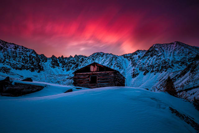
Mayflower Gulch
A 6.1-mile round trip near Climax that's become one of Summit County's most photographed basins, thanks to an old mining cabin sitting below a wall of peaks. Wildflowers carpet the approach through summer, and it's mellow enough to bring almost anyone along — the cabin works as a strong foreground anchor for a wide shot, or isolate it with a longer lens against the peaks for a more intimate composition.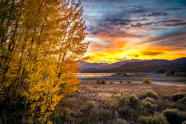
Lake Dillon
This 3,233-acre reservoir sits south of I-70, ringed by Frisco, Silverthorne, and Dillon, with the Gore and Tenmile Ranges standing behind it in almost every direction you look. The shoreline trail network makes it easy to find a clean composition without a boat — sailboats add a nice moving element on breezy afternoons, and the water goes glass-still at dawn before the wind picks up, which is your best window for a mountain reflection.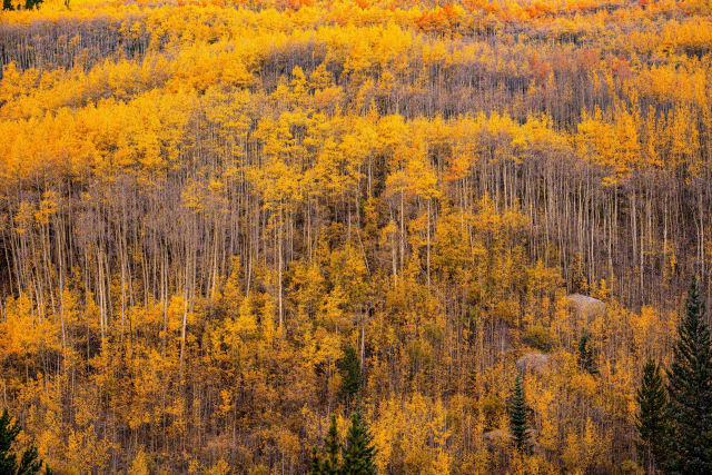
Marble, CO (Crystal River valley)
A small former quarry town along the Crystal River, best known today as the jumping-off point for the road to Crystal Mill, with the river itself running clear and fast enough for long-exposure water shots right in town. The valley's aspen groves turn early relative to higher-elevation spots nearby, so it's worth checking here first if you're timing a fall color trip through the area.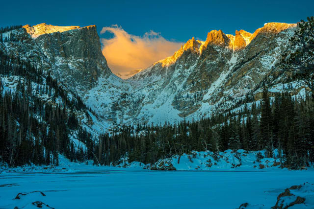
Dream Lake
A high alpine lake in Rocky Mountain National Park, reached via the popular Bear Lake trailhead and sitting right at the base of Hallett Peak. The steep cliffs surrounding the water make for one of the more dramatic reflections in the park, which is exactly why it draws a crowd on any clear morning — get there before sunrise if you want the classic still-water shot without footprints in the shoreline ice.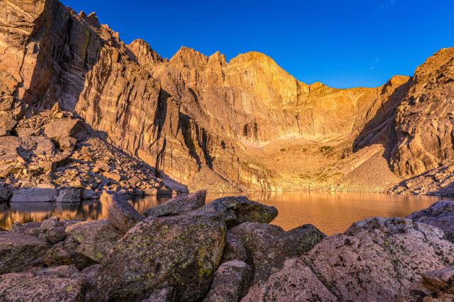
Chasm Lake
An 8.8-mile out-and-back near Estes Park and one of the tougher approaches in the park, rated challenging and popular with hikers, horseback riders, and snowshoers alike. It's open year-round, best June through October, no dogs allowed — the Diamond face of Longs Peak looms directly over the lake, and it's worth the extra effort for a composition few casual hikers ever reach.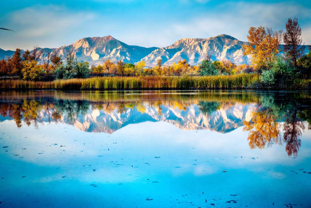
Sawhill Ponds Wildlife Preserve
Eighteen individual ponds and connecting trails just outside Boulder, owned by Colorado Parks & Wildlife and managed by the city's Open Space and Mountain Parks Department. It's an easy, close-in spot for water-focused shots without needing a mountain drive — early morning fog off the ponds is a regular occurrence worth checking for before writing the day off as flat light.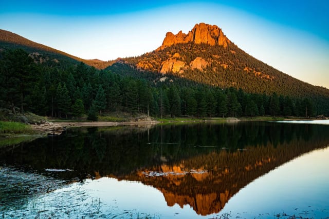
Wellington Lake
A year-round destination — camping, fishing, swimming, and canoeing in summer, ice fishing, cross-country skiing, and snowshoeing once it turns cold. It's a short drive from both Denver and Colorado Springs, which makes it an easy add to a weekend without committing a whole day to travel, and the lake's varied shoreline gives you options in every season rather than just one look.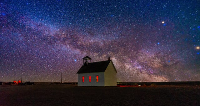
Abbott Church
A tiny nondenominational church about 100 miles east of Denver, standing alone against the surrounding farmland in a way that makes it feel far more remote than it actually is. The isolation traces back to the Homestead Act of 1862, which brought settlers to the region and, eventually, left this small church behind as one of the more photographed oddities on the eastern plains — a wide lens low to the wheat grass makes the isolation read even stronger in the frame.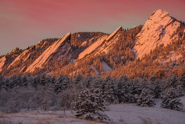
Boulder / The Flatirons
Five slanted sandstone slabs standing on end above the city, visible from nearly anywhere in Boulder and unmistakable from the air. Flatirons Vista Trail gives you some of the best views without the scrambling required to actually stand on them, and sunset is when the rock glows — a low side light rakes across the striations and makes the whole formation look lit from within.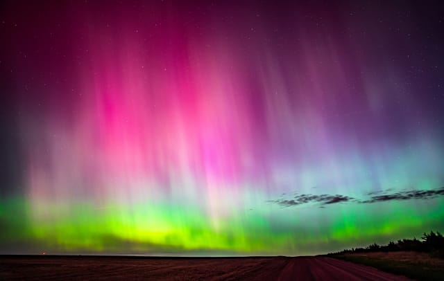
Sterling (storm/plains)
Colorado's eastern plains don't get the attention the mountains do, but they're one of the best places in the state to photograph a big sky — supercell structure, mammatus clouds, and sunset color that has nothing to block it from horizon to horizon. Spring and early summer bring the most dramatic storm activity here; keep a safe distance and a healthy respect for lightning, and the payoff is a kind of sky drama the mountains simply can't produce.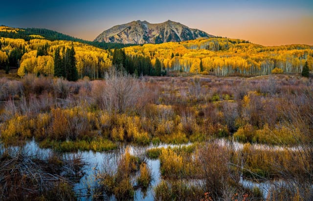
Kebler Pass
A high-mountain pass connecting Crested Butte with Paonia, and a shortcut to Aspen through the Roaring Fork Valley once the road is open for the season. At 10,007 feet through the Gunnison National Forest, it's best known for sitting inside one of the largest aspen groves in the country — come fall, this is one of the most reliable, biggest-scale color displays anywhere in the West Elk Mountains, and shooting mid-morning once the light gets into the grove itself, rather than at strict golden hour, is what actually works best for the aspen canopy shots this pass is known for.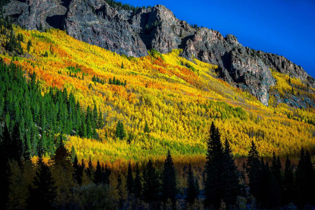
Abyss Trail to Helms Lake
An 11.7-mile out-and-back near Grant that follows a river most of the way, rated moderate and well-suited to birdwatching along with the hiking. Dogs are welcome on leash, and May through September is the reliable window — the river itself offers plenty of slow-shutter opportunities if you're carrying an ND filter for the day.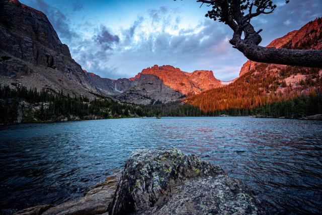
The Loch
Rated moderately challenging, this trail near Estes Park runs 5.4 miles round trip and sees hikers, snowshoers, and trail runners depending on the season. Best March through October, no dogs permitted — the lake sits in a quieter, more sheltered basin than its more famous neighbors, which usually means calmer water for a reflection.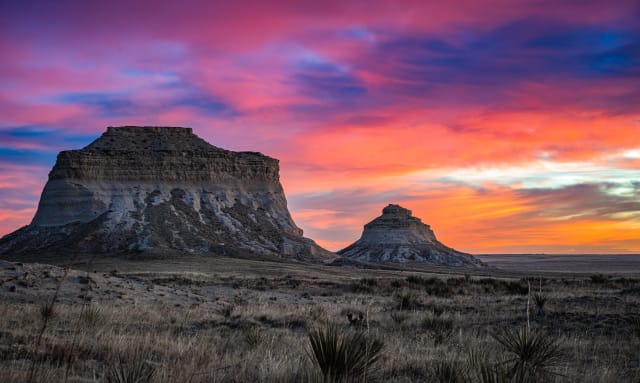
Pawnee Buttes
Two sandstone buttes rising 300 feet above the plains in the northeast corner of Weld County, inside the Pawnee National Grassland. There's nothing else like this stretch of open sky and prairie anywhere near the mountains — it's a completely different kind of Colorado landscape, and one of the better dark-sky spots in the region too, with wide, unobstructed horizons that make it a good Milky Way location once the moon's out of the way.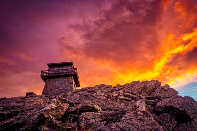
Mestaa'Ėhehe Mountain Fire Lookout
A native-granite fire lookout built by the Civilian Conservation Corps in the 1940s, sitting above 11,000 feet off Colorado 103 west of Bergen Park. It's still an active communication site today, and the lookout structure itself — a glass-walled cab wrapped by a catwalk — is on the National Register of Historic Places, making it a strong architectural subject on its own even without a mountain backdrop.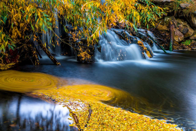
Golden Ponds
Four connected ponds on 94 acres in Longmont, with Longs Peak and the Front Range as a backdrop across the water. The park anchors the western end of the St. Vrain Greenway, and its 2.6 miles of trail, ADA-accessible fishing pier, and steady traffic of herons and cormorants make it an easy, low-key spot to work a reflection shot without driving into the mountains. Calm mornings before the wind picks up are your best window for a clean mirror image of Longs Peak.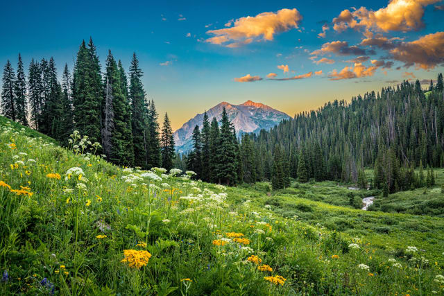
Rustler's Gulch
A 9-mile out-and-back near Crested Butte that draws a steady crowd of hikers and trail runners from May through October. Dogs are welcome on leash, and the gulch itself opens into some of the better wildflower meadows in the area once you're a couple miles in — worth a wide-angle lens with a flower patch in the foreground and the peaks stacked behind it.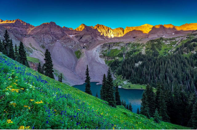
Lower, Middle and Upper Blue Lakes
An 8.7-mile out-and-back near Ridgway that climbs into three glacial lakes stacked up the same drainage, each one a different shade of blue depending on glacial silt and light. It's a legitimately challenging day, and a popular one for backpackers who camp partway up rather than trying to do all three lakes and back in one push — worth the extra weight for sunrise light on the upper lake with nobody else around yet.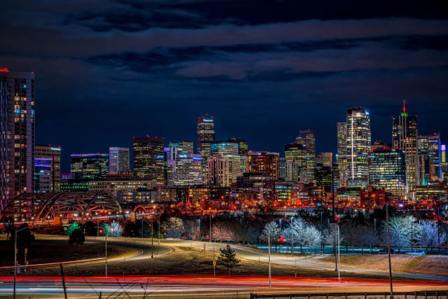
Denver
The Mile High City, with around 300 days of sunshine a year and enough neighborhood variety to fill several separate trips — history, transportation, food, and a lively cultural scene all in reach without leaving downtown. Blue hour downtown, once the city lights come up but the sky still holds color, is consistently the best window for a skyline shot.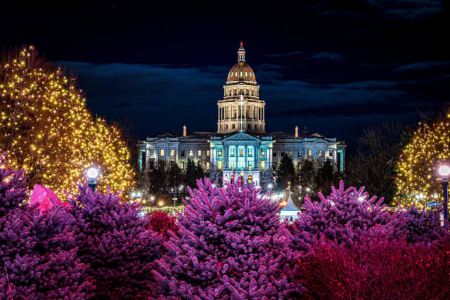
Colorado State Capitol, Denver
Built in 1894 with a dome plated in real Colorado gold leaf, sitting at the head of Civic Center Park with a grand set of front steps. The dome catches direct sun for a good stretch of the day, but the building reads strongest at blue hour, once the interior and exterior lighting come up against a darkening sky — free public tours run on weekdays if you want the interior stained glass too.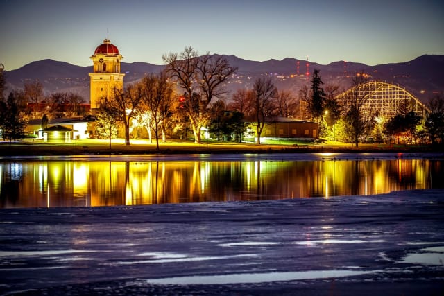
Berkeley Lake
A 1.1-mile loop in Wheat Ridge, easy enough for any skill level and popular with walkers, runners, birdwatchers, and anglers alike. Dogs are welcome on leash — a solid close-to-home option when a full mountain trip isn't in the cards, and the resident waterfowl make it worth carrying a longer lens even on a short walk.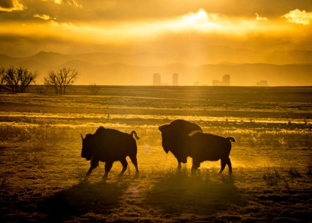
Rocky Mountain Arsenal NWR, Commerce City
A former chemical weapons manufacturing site turned 15,000-acre National Wildlife Refuge, with a bison herd roaming grassland just minutes from downtown Denver — an odd and striking juxtaposition that's hard to find anywhere else in the country. Shoot wide enough to get both the bison and the skyline in frame, and you have a shot that immediately reads as uniquely Denver rather than generic prairie.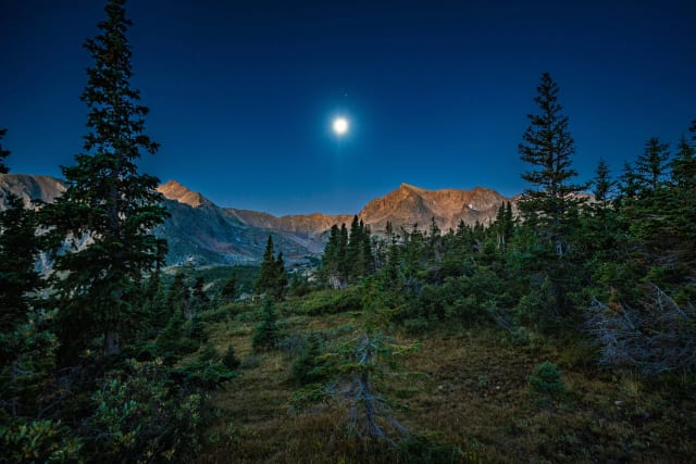
Arapaho Pass
A high pass in the Indian Peaks Wilderness reached via the Fourth of July Trailhead near Nederland, with Lake Dorothy sitting just below the pass itself. Moonlit shots here work surprisingly well given the elevation and open sightlines — the pass sits well above most light pollution from the Front Range, making it a solid choice for a night shot that still shows real terrain instead of a flat black foreground.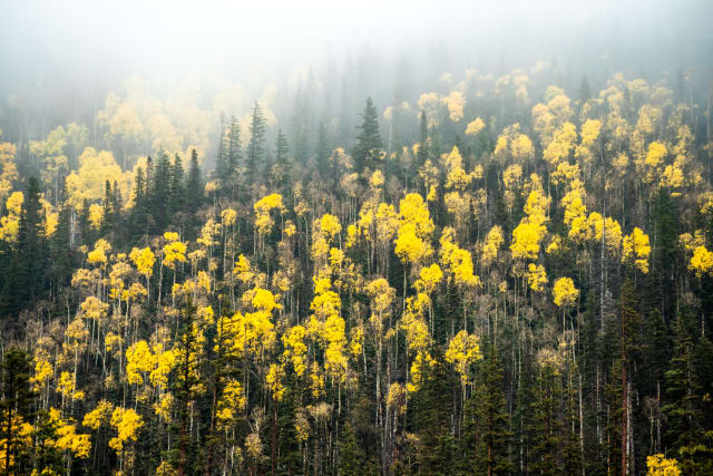
Steamboat Springs
A ranching-turned-ski town in the Yampa Valley, known for its own distinct style of powder locals call champagne snow, plus hot springs right in town. Morning fog burning off the surrounding aspen groves is a real, recurring phenomenon here given the valley's cold-air drainage — worth an early alarm specifically to catch it before the sun clears it out entirely.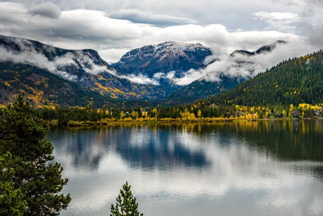
Grand Lake
Colorado's largest natural lake, sitting at the headwaters of the Colorado River on the west side of Rocky Mountain National Park, with a boardwalk-lined historic downtown right on the water. Ice breaking up in spring creates a striking two-tone effect across the lake's surface — open water alongside still-frozen sections — worth watching for specifically during the shoulder-season thaw.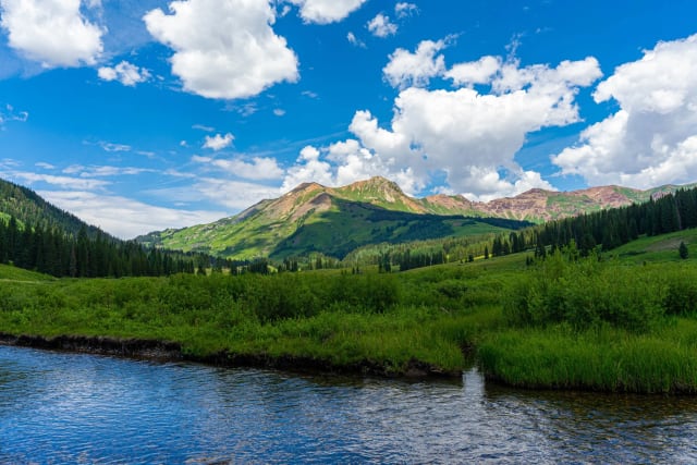
Gothic (East River / Crested Butte)
The East River winds through open meadowland north of Crested Butte, with Gothic Mountain's distinctive spires rising directly behind it — the wildflower displays here in July are some of the best in the entire Elk Mountains. Shoot low with a wide lens to get the river's curve leading into the peaks, or come back in September when the willows along the banks turn a deep red-orange against the first snow on the high peaks.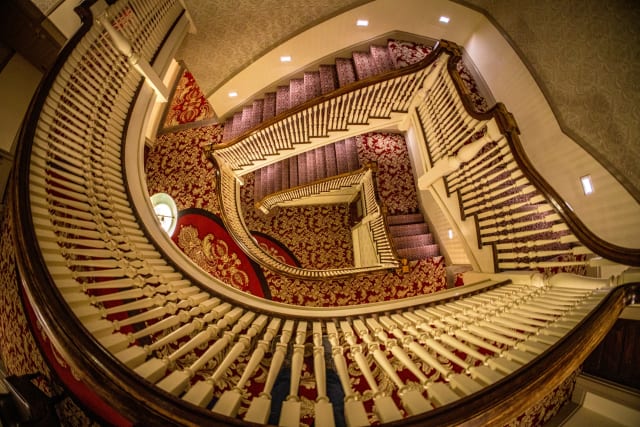
Estes Park (town / The Stanley)
The gateway town to Rocky Mountain National Park, and home to the Stanley Hotel — built in 1909, the real-world inspiration for Stephen King's Overlook Hotel in The Shining. Its white Georgian facade against the Rockies works well in almost any light, but the staircases and covered porches give you interesting interior-to-exterior framing options that a straight-on exterior shot misses entirely.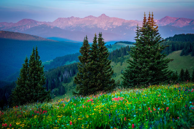
Shrine Pass
One of the most accessible high-alpine wildflower displays in the state, reached by a 2WD-passable dirt road off I-70 between Vail and Copper Mountain. Shrine Ridge Trail climbs to a ridge that's wall-to-wall color by mid-July, with Mount of the Holy Cross visible on the horizon — get low with a wide lens so the closest flowers are big in the frame and the peaks still read clearly behind them.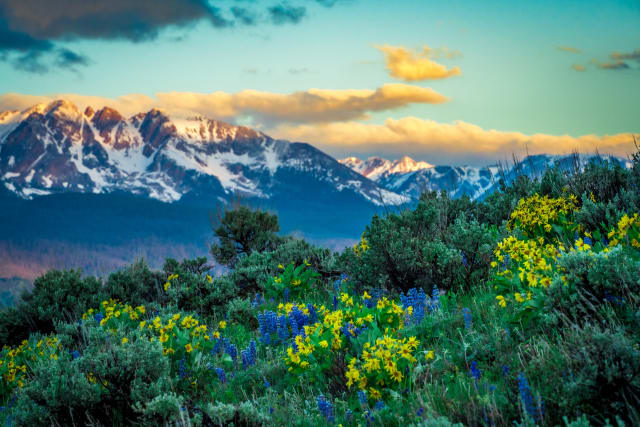
Silverthorne
One of the three towns ringing Dillon Reservoir, with direct lake access and the Gore Range rising immediately to the west — one of the more convenient bases in Summit County for a sunrise shoot, since you're often parked and shooting within minutes. Balsamroot and other wildflowers fill the open slopes below the range through June, giving you a foreground layer most reservoir shots elsewhere in the state don't have.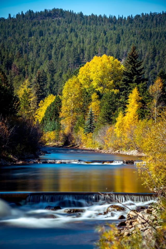
Pinecliffe
A small unincorporated community along the South Boulder Creek corridor in the foothills west of Boulder, with aspens along the creek that turn earlier than most higher-elevation groves nearby. The creek itself stays accessible and shootable well into fall, giving you a moving-water foreground against turning color without the crowds of better-known aspen destinations.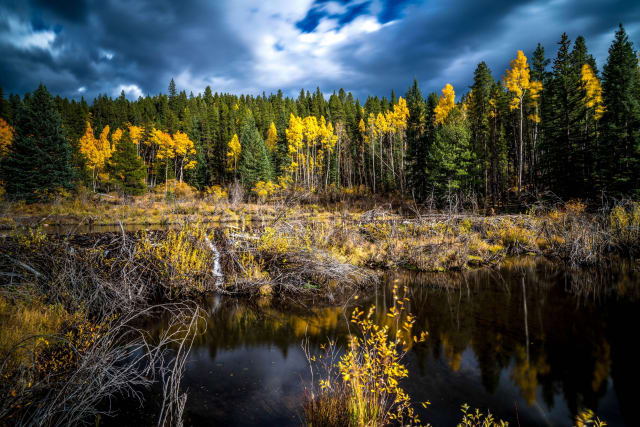
Guanella Pass
An 11,670-foot scenic byway between Georgetown and Grant, sitting above treeline with Mount Bierstadt, Mount Blue Sky, and the Sawtooth ridge all visible from the summit area. Mountain goats and bighorn sheep both turn up regularly enough here that it's worth keeping a telephoto within reach even if you came purely for the landscape.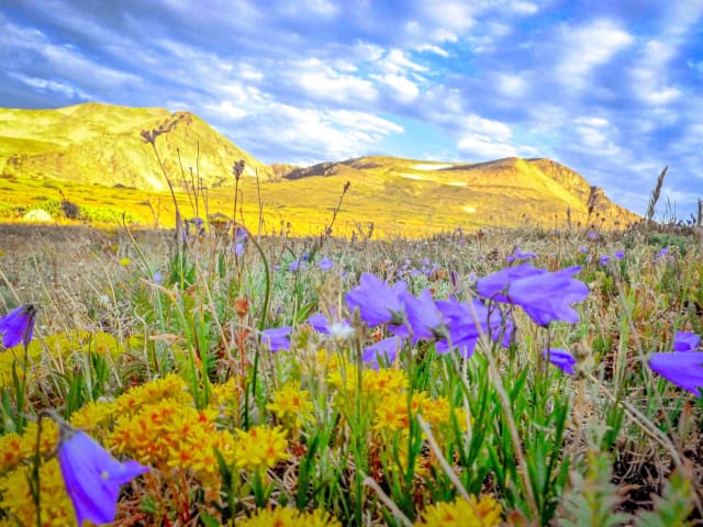
James Peak
An 8-mile out-and-back near Black Hawk rated difficult, with a lake along the route and use for hiking, downhill skiing, and snowshoeing depending on the season. Best June through October, dogs welcome on leash — the lake sits well below the summit, so plan two separate compositions rather than trying to force both into one frame.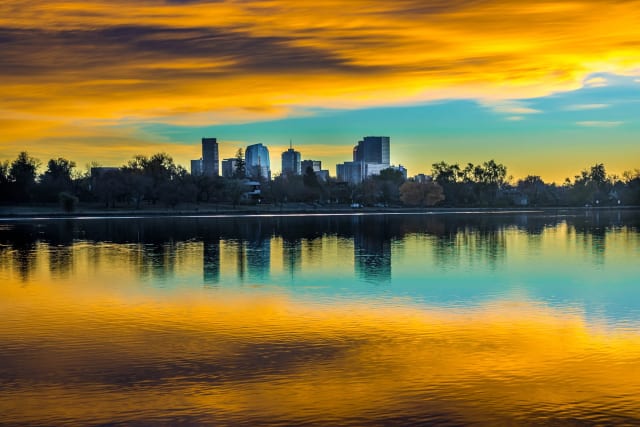
Sloan's Lake
Denver's second-largest park and the city's largest body of water, on the western edge of town. Legend has it the lake formed by accident when homesteader Thomas Sloan struck an aquifer while digging an irrigation well — today its 290 acres draw tennis players, paddleboarders, and a steady 2.6-mile loop of runners, plus a healthy population of Canada geese that seem to have taken over permanently. The downtown Denver skyline sits directly across the water, making this one of the better in-city sunset shoots with a reflection.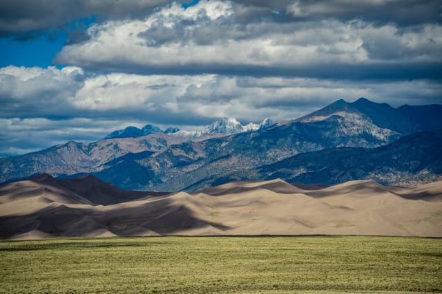
Great Sand Dunes
The tallest dunes in North America, open 24/7 with no reservations required, set against an unusual mix of grasslands, wetlands, forests, and alpine tundra all within the same park boundary. It's one of the more surreal landscapes in the state — sand dunes with fourteeners visible in the background is not a combination you find many other places, and raking side light at sunrise or sunset is essential here since flat midday sun erases the dune ridgelines almost entirely.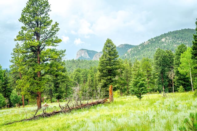
Staunton State Park
Opened to the public in 2013, about 40 miles southwest of downtown Denver near Conifer, straddling the line between Park and Jefferson counties. It's newer than most of the state parks nearby, which means less crowding on trails that are otherwise just as scenic — Elk Falls, the park's centerpiece waterfall, is a solid slow-shutter subject if you're willing to add the extra mileage to reach it.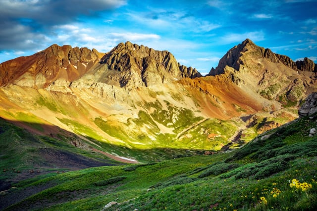
Lizard Head Pass
At 10,246 feet along the San Juan Skyway, this is one of the highest paved passes in the state and a highlight of a drive between Telluride and Rico. The pass itself is the reward here — pull off and the surrounding peaks do the rest of the work, especially in golden hour when the jagged spire the pass is named for catches direct light while everything around it stays in shadow.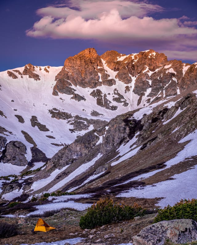
Herman Gulch Trail
This 11.6-km out-and-back near Silver Plume sees a mix of hikers, trail runners, and cross-country skiers depending on the season, with a moderate climb that rewards you with an alpine lake at the top. Dogs are allowed off-leash in sections, which is rarer than you'd think this close to I-70 — the lake itself is small enough that a wide-angle lens gets the whole basin in one frame.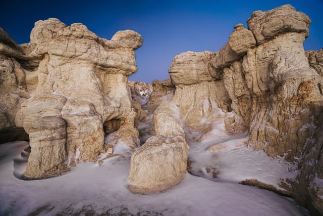
Paint Mines
El Paso County's clay badlands look like nothing else on the Front Range — hoodoos and banded spires in orange, pink, and white, carved out of iron-rich clay that American Indians once collected here for paint. The formations have been shaped by roughly 9,000 years of erosion, and the light hits them differently enough throughout the day that it's worth planning around golden hour specifically — the low angle rakes across the banding and brings out color you simply don't see at midday.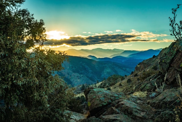
Mount Morrison
Near the town of Morrison, this 3.6-mile out-and-back trail is rated difficult and used mostly for hiking, with dogs welcome on leash. It's a solid warm-up climb if you're building toward something bigger in the Front Range foothills, and the summit gives a different angle on Red Rocks and the plains beyond than the more commonly photographed viewpoints nearby.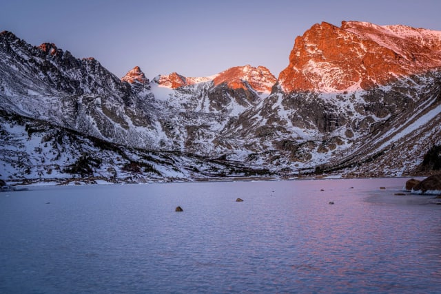
Lake Isabelle
A 5.5-mile out-and-back via the Pawnee Pass Trail near Ward, with a waterfall along the way and a moderate rating that keeps it accessible without being crowded out entirely. Dogs are welcome on leash, best from June through October, and the waterfall on the approach is a good candidate for a slow shutter if you've got a filter with you.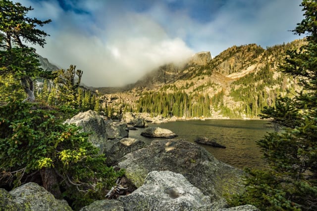
Lake Haiyaha
A 3.6-mile out-and-back near Estes Park with a waterfall en route, moderately rated and best from June through October. The lake itself sits in a boulder field that photographs completely differently than the more classic alpine lakes nearby — the jumbled rock foreground gives you a lot more compositional options than a typical flat shoreline.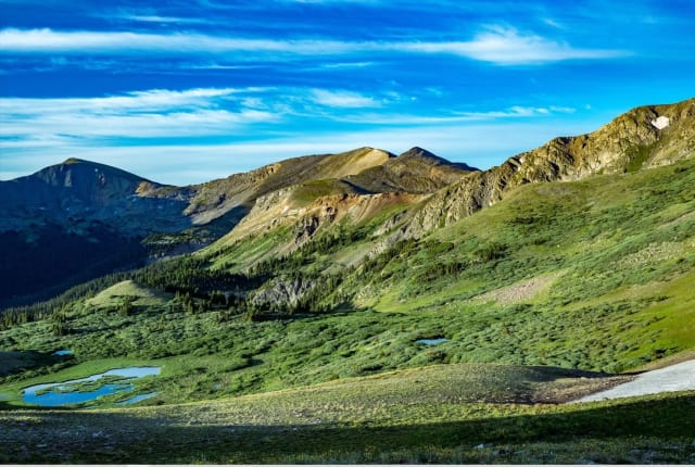
Continental Divide National Scenic Trail (CDT)
A continuous footpath tracing the spine of the Rockies from Canada to Mexico — one of the more ambitious conservation projects in the country. You don't need to hike the whole thing to appreciate a section of it; even a short stretch puts you on wild, undeveloped terrain, and ridge-walking sections often open up wide views in both directions at once.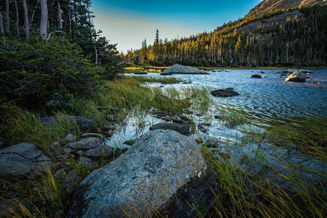
Diamond Lake Trail
Near Nederland, this 5.4-mile out-and-back leads to a lake and is rated moderate enough to stay approachable. It's open April through October and allows dogs on leash, with several other activity options along the way — the surrounding peaks catch good alpenglow on clear mornings if you're willing to start in the dark.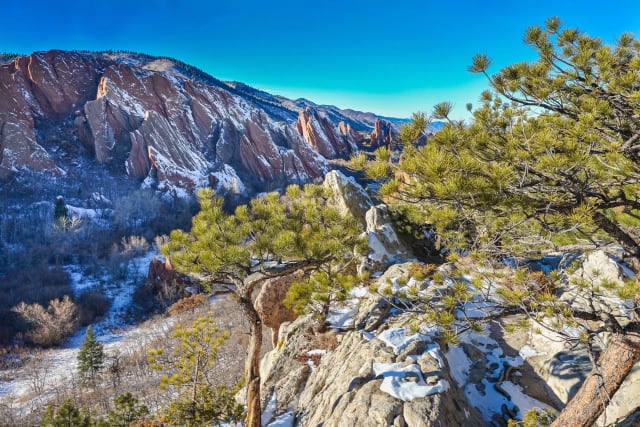
Roxborough State Park
One of the best backyard escapes near Denver, with close to 4,000 acres of dramatic red-rock formations just southwest of the city. Wildlife ranges from mule deer to black bears, and the park runs regular programs alongside the usual hiking and trail running — the red rock holds warm light well past when it's faded elsewhere on the Front Range, extending your golden hour window here.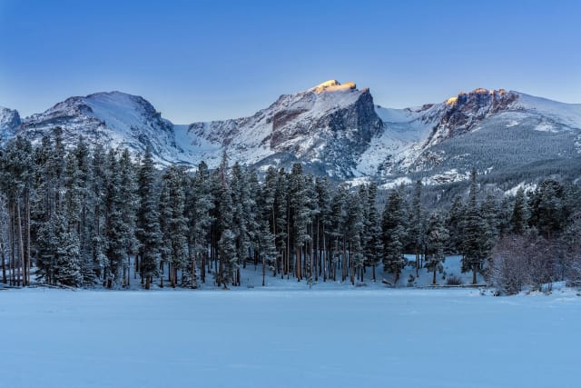
Sprague Lake Trail
A flat 0.8-mile loop near Estes Park, accessible year-round and rated for any skill level. It's an easy one to bring anyone along for, with fishing and snowshoeing both options depending on the season — the flat, easy access makes it one of the simplest reliable reflection shots in the whole park.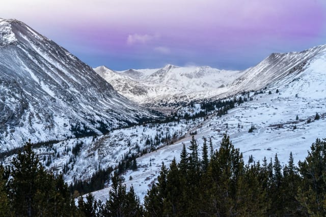
Hoosier Pass
An 11,542-foot pass on the Continental Divide between Alma and Breckenridge, sitting on the border of Park and Summit counties in the Mosquito Range. It also happens to be the highest point on the entire TransAmerica bicycle route, which runs coast to coast between Oregon and Virginia — the summit's wide-open sightlines make it a solid stop for both sunrise color and night sky work in the same visit.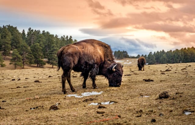
Buffalo Herd Nature Preserve
Denver maintains this bison herd about twenty miles west of the city, descended directly from the last wild herd of bison in the country — seven animals originally brought from Yellowstone in 1914. You can usually spot them from I-70 on the right side heading west into the mountains, though a stop at the overlook gets you a much better shot — bring a telephoto, since you'll be photographing from behind fencing at a respectful distance.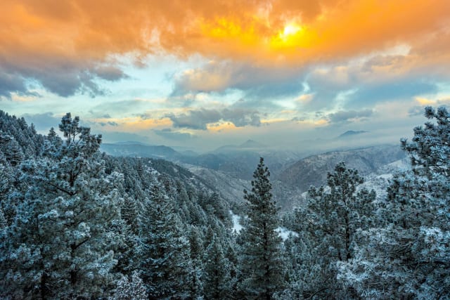
Lookout Mountain
A 7,377-foot foothill peak in its own park, 1.7 miles west of downtown Golden. The Ute people originally used it as a lookout point over the surrounding region, and today Denver — just 12 miles east — is clearly visible from the top on a clear day, making this one of the better spots for a Denver skyline shot with foreground elevation instead of a flat street-level view.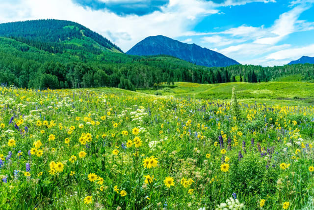
Snodgrass Mountain
The easiest big views near Crested Butte, with Mt. Crested Butte and the Elk Mountains laid out to the north and some of the best aspen groves in the area turning gold each fall. The first mile alone has some of the best scenery on the mountain, so it's a fine shortened hike if you're short on time — come specifically for peak aspen season if fall color is the goal, since the groves here turn earlier than lower-elevation spots nearby.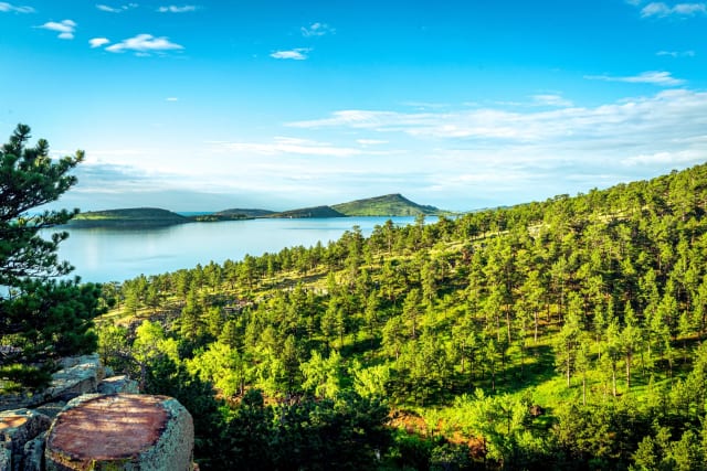
Carter Lake
A 5.9-mile out-and-back near Berthoud rated easy enough for most skill levels, with running, camping, fishing, and horses all fair game along the Sundance Trail. Dogs are welcome on leash, and the lake's open shoreline gives you a clean view west toward the foothills for sunset.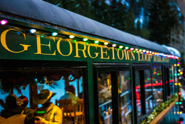
Georgetown Loop Railroad
A narrow-gauge train ride and mining park just off I-70, 45 miles west of Denver, that recreates 1880s Colorado in a way that's immersive rather than gimmicky. Beyond the train itself, there's a real silver mine tour and gold panning on site — a solid half-day if you're traveling with people who aren't purely there for the hiking, and the train crossing the Devil's Gate High Bridge is the signature shot most people come for.
Chatfield Reservoir
A do-almost-anything park southwest of Denver — boating, biking, hiking, camping, horseback riding, even flying model airplanes, all with the foothills and Platte River valley as a backdrop. The open water gives you a foothills reflection on calm evenings, a rarer find this close to the city.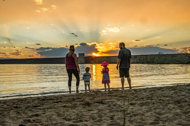
Cherry Creek Reservoir
An 880-acre reservoir anchoring Denver's most-used regional park, with rolling prairie terrain and full camping and picnicking facilities. It's busy and lively in summer, quiet and easy the rest of the year — plan around whichever mood you're after, and sailboats on the water add a nice moving element to an otherwise static shoreline shot.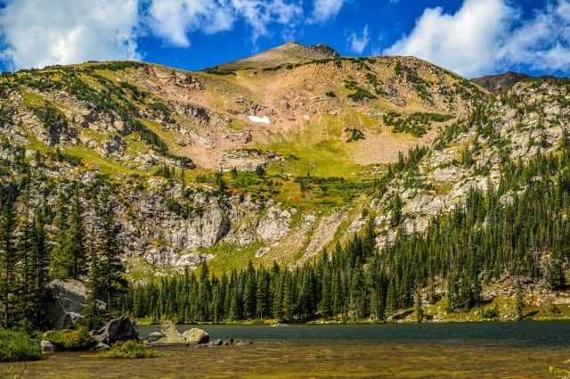
Crater Lakes
Five lakes clustered in a rugged valley that feeds a major tributary of South Boulder Creek, offering solid fishing and backcountry camping well away from the more crowded trailheads nearby. Having five distinct lakes in one basin means you can chase whichever one has the best light without backtracking far.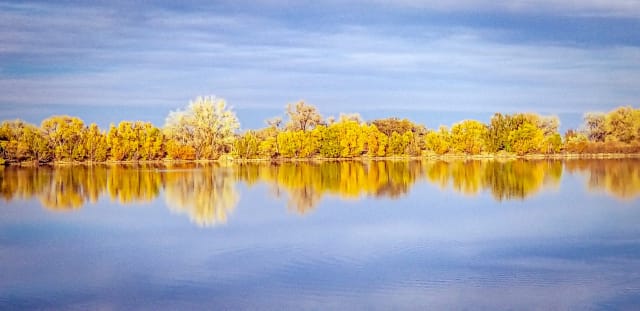
Crown Hill Lake
A 1.3-mile loop in Wheat Ridge, easy enough for any skill level and open April through December. Dogs are welcome on leash, with a handful of other activities available along the way — an easy sunset stop that doesn't require any real hiking commitment.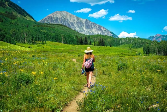
Teddy's Winter Trail
Part of the groomed singletrack network up at the Snodgrass/Gothic trailhead, built by the CB Land Trust, the Town of Mt. Crested Butte, and Colorado Open Space. It's a mile-long loop through aspens with some fun terrain — connect it with North Village or add in Gothic and Snodgrass roads if you want to turn a short loop into real mileage, and the aspen trunks here make a strong graphic subject even in flat winter light.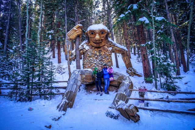
Isak Heartstone
A 15-foot wooden troll sculpture on the Trollstigen Trail in Breckenridge, easy to reach from the trailhead near the Stephen C. West Ice Arena. It's become one of the more unusual, kid-friendly landmarks in town — a fun stop that doesn't require much of a hike to reach, and shooting from below emphasizes the scale in a way a straight-on shot doesn't.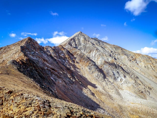
La Plata Peak
A 9.6-mile out-and-back via the North Trail summer route near Twin Lakes, rated difficult with wildflowers along much of the climb. Best June through August, dogs welcome on leash — the lower slopes hold columbine and other wildflowers into midsummer, giving you a foreground option most fourteener approaches lack.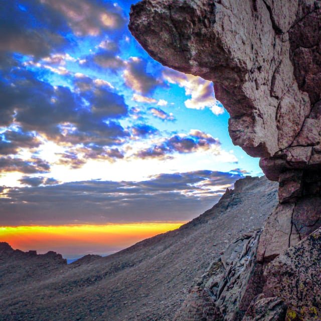
Longs Peak
A 14.8-mile out-and-back near Allenspark and one of the more demanding day hikes in the state, rated challenging and popular enough that you'll rarely have it to yourself. It's open year-round but best April through November, and dogs aren't allowed on the trail — the Diamond, the peak's sheer east face, is one of the most recognizable formations in the park and worth a dedicated shot from Chasm Lake if the full summit push isn't in the cards.
Mohawk Lakes
A moderately demanding hike south of Breckenridge, under two hours from Denver, that climbs through pine and aspen along a mountain stream to a waterfall spilling over granite slabs. Push past treeline around mile three and you'll reach Lower Mohawk Lake, with Upper Mohawk Lake a bit further on for anyone wanting the full loop of surrounding peaks — the granite-slab waterfall partway up is worth its own dedicated stop even if the lakes are the main goal.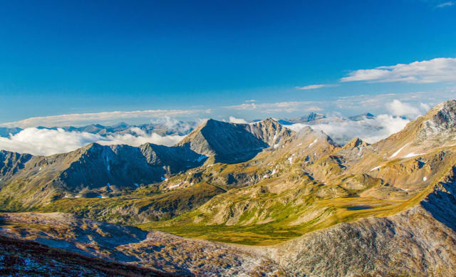
Mt Belford
An 8.1-mile out-and-back near Granite rated difficult, with wildflowers along the route and use for hiking, running, and even horses. Best May through October, both dogs and horses are welcome — the connecting ridge to neighboring Mt. Oxford opens up a different panorama than the standard out-and-back summit shot.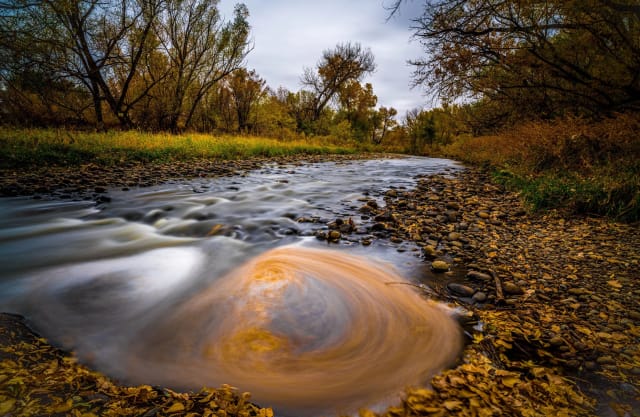
Clear Creek Trail
A 19.1-mile point-to-point trail near Golden, easy enough for any skill level and popular with a wide range of users given the lake access along the way. Best March through October, dogs welcome on leash — long enough to treat as a proper bike or trail-running route rather than a casual stroll, and the creek itself offers moving-water shots at nearly any point along its length.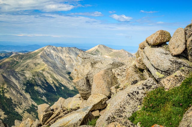
Mount Shavano
A 9.3-mile out-and-back near Salida rated difficult, with wildflowers along the way and several activity options built into the route. Best April through September, dogs welcome on leash — the Angel of Shavano, a snow formation shaped like a cross-bearing figure, is best defined and most photogenic in late spring before it melts down.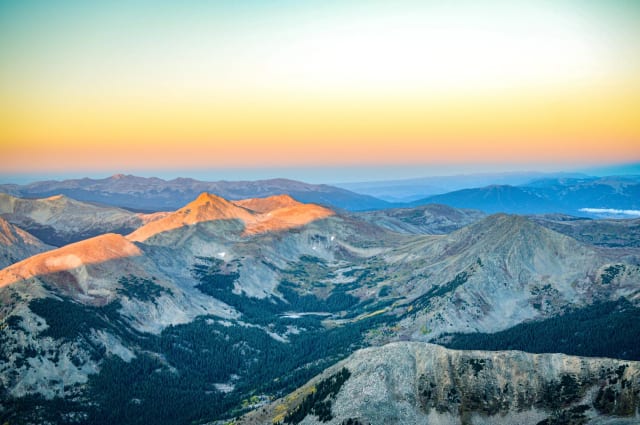
Mount Yale
A 10.2-mile out-and-back via the Summit Trail near Buena Vista, rated difficult with a river along the route. Best July through September, dogs welcome on leash — the summit sits centrally enough in the Collegiate Peaks that the surrounding panorama includes several other fourteeners in a single wide frame.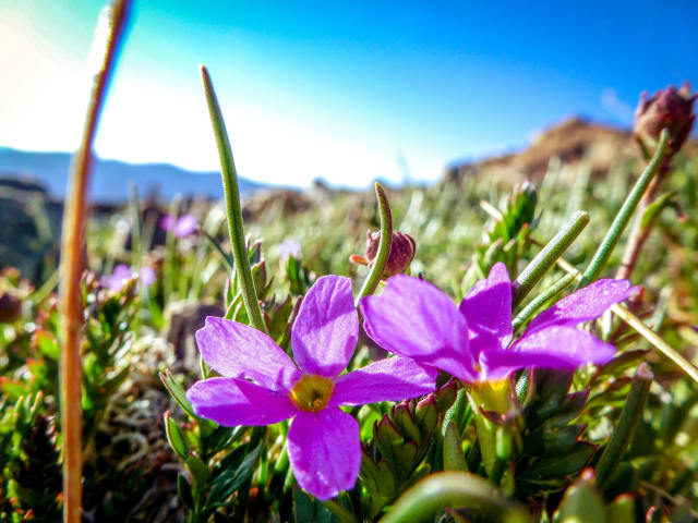
Quandary Peak
A 6.6-mile out-and-back near Blue River, rated difficult with wildflowers along the route and accessible essentially year-round given its popularity as a winter snowshoe objective too. Dogs welcome on leash — mountain goats are a common enough sighting near the summit that it's worth the extra weight of a telephoto lens even on the standard route.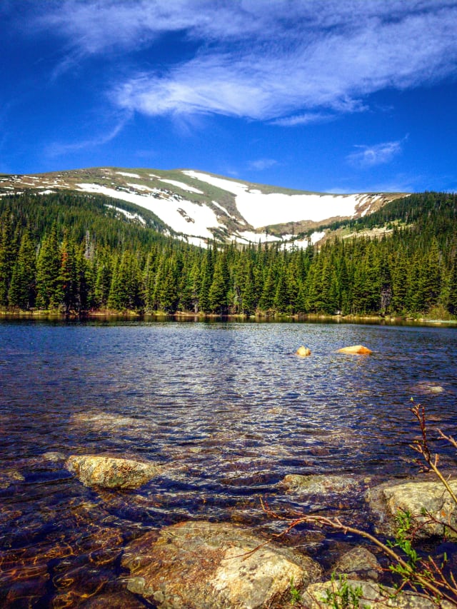
Rainbow Lakes
An easy, short hike west from the Rainbow Lakes Trailhead into the Indian Peaks Wilderness, leading to a series of small lakes and beaver ponds. It's a good option when you want wilderness access without committing to a full day, and the string of small ponds gives you several reflection options within a short walking distance of each other.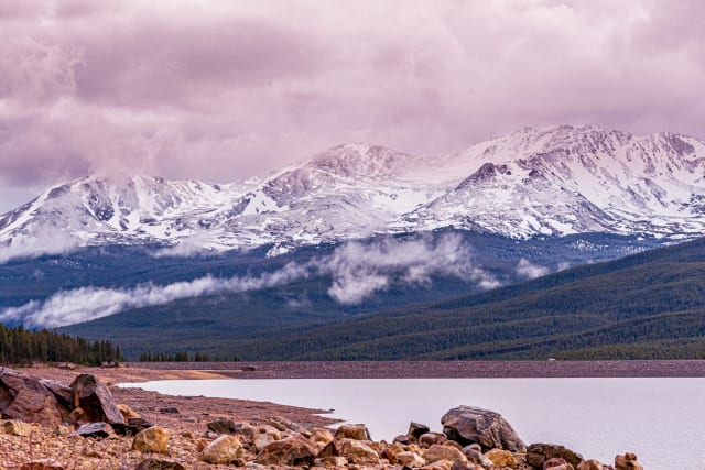
Turquoise Lake Trail
A 6.4-mile trail tracing the shoreline of Turquoise Lake from the dam to May Queen Campground, with the first 2.2 miles being easy and the rest stepping up to moderate. There's a posted trail guide covering the local flora and fauna if you want more than just the view, and the lake's namesake color shows up best under full midday sun rather than the soft light most landscape shooters chase.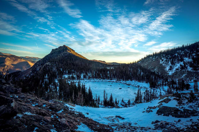
Lake Helene
A 6.1-mile out-and-back via the Fern Lake Trail near Estes Park, popular enough that you'll share it with other hikers, runners, and horses most of the year. It runs well from May through October, with a real shot at wildlife sightings along the way — keep a telephoto handy for elk in the meadows well before you reach the lake itself.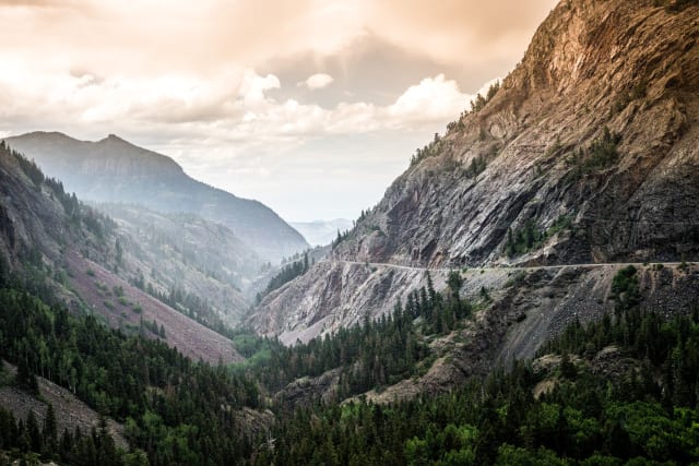
Red Mountain Pass
The summit of the Million Dollar Highway at 11,018 feet, part of a 25-mile stretch through southwest Colorado that's consistently ranked among the most scenic drives in the country. It's also one of the more dangerous sections in winter, with steep grades and no guardrails in places — worth respecting even if you're just stopping for a photo, and the red-tinted mineral rock the pass is named for photographs especially well under overcast light.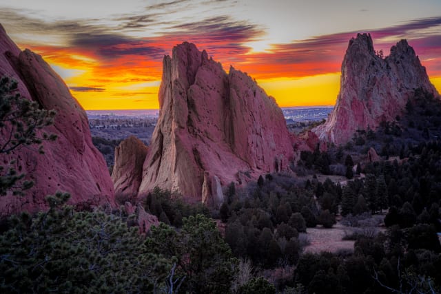
Garden of the Gods
Colorado Springs' registered National Natural Landmark, with 300-foot sandstone spires set against Pikes Peak. The visitor center runs a Geo-Trekker theater on how the rock formations actually got here, and this is consistently one of the most-visited, most-photographed spots on the entire Front Range for good reason — sunrise lights the red rock from the side before Pikes Peak catches its own glow a few minutes later, so it's worth staying put through both moments.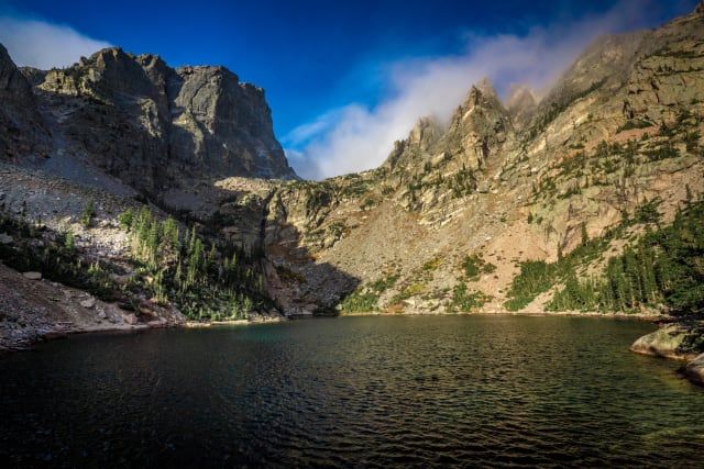
Emerald Lake
A 3.2-mile out-and-back near Estes Park, popular enough that you'll share the trail with other hikers and snowshoers depending on season. It runs year-round but is best June through October — dogs aren't allowed, which keeps the wildlife along the shoreline a little more relaxed and occasionally photographable from a respectful distance.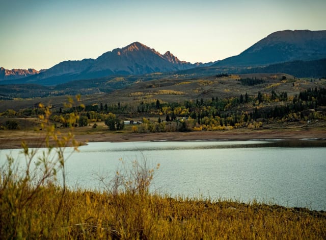
Green Mountain Reservoir
Built to replace water sent from the Colorado River to the Front Range through the Big Thompson Project, this is a storage reservoir, so expect the water level to shift with seasonal demand. Worth checking conditions before planning a shot that depends on a full shoreline — a lower water level can actually expose interesting foreground rock and shoreline texture you won't see when it's full.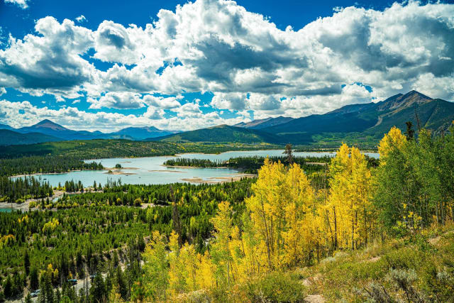
Old Dillon Reservoir Trail
A 1.7-mile loop near Dillon rated easy enough for any skill level, with a lake as the centerpiece and reliable use from May through October. Dogs are welcome on leash, and the loop gives you several vantage points around the water to choose from rather than being locked into one composition.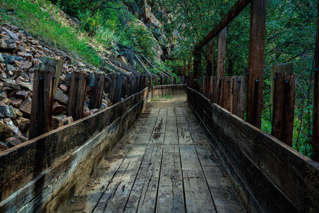
Clear Creek Welch Ditch
An aqueduct-fed ice flow just before Tunnel 1 in Clear Creek Canyon, visible on the south side of the road across the creek. The ice only forms reliably in certain conditions given the low elevation, but when it does, it's a solid local ice-climbing and photography spot — climb only when the creek beneath is well-frozen, and a telephoto from across the canyon keeps you well clear of the ice itself.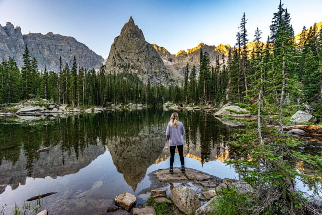
Cascade Creek Trail
A 16-mile out-and-back near Tabernash leading to Mirror Lake and Crater Lake, rated difficult with a waterfall along the way. It's best June through November and allows dogs on leash — plan for a full day given the distance, and Mirror Lake in particular earns its name on a calm morning.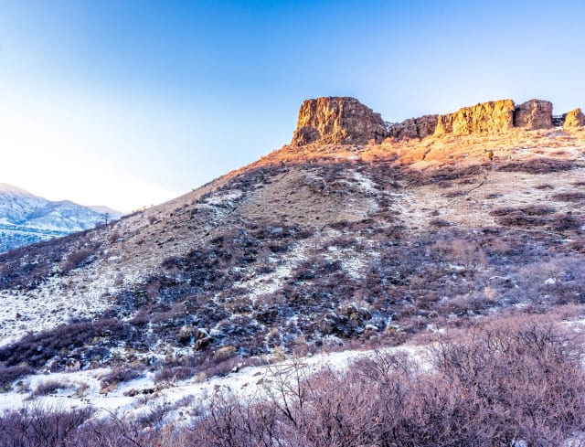
South Table Mountain Park
Panoramic mesa-top views over Golden, with nesting habitat for cliff raptors and easy access for hikers, runners, and riders. Stick to the marked trails here — undesignated paths damage the mesa ecology, and Castle Rock, the landmark outcropping, sits on private property that isn't open to the public. The mesa edge itself gives you a clean, elevated vantage over Golden and Coors Field's stadium lights after dark.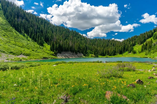
Emerald Lake (Crested Butte)
A short, easy hike to emerald-colored water, ringed by pine and wildflower-covered hillsides. It's close enough to town for a half-day trip, and a good spot to bring a paddleboard or just hang a hammock and stay a while — the water's color is most saturated under direct midday sun, which is the rare case where you don't want to wait for golden hour.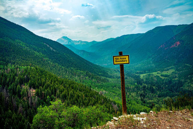
Snowmass Trail
A 16.8-mile out-and-back near Snowmass rated difficult, with wildflowers along the way and moderate traffic from hikers and birdwatchers. Dogs are welcome on leash, best from May through September — a wide-angle lens with wildflowers filling the lower third of the frame works especially well through peak bloom.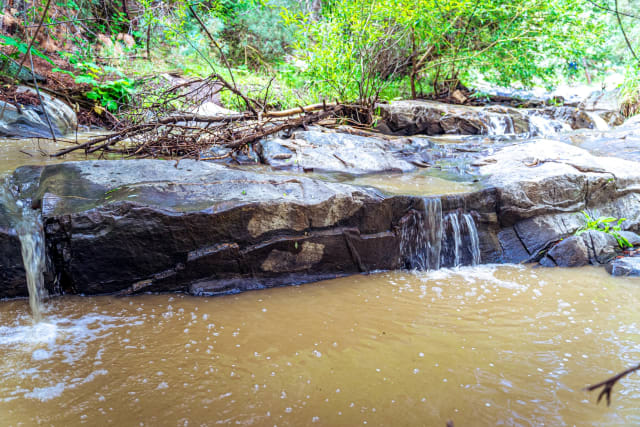
Beaver Brook
A 13.4-mile out-and-back near Golden rated difficult, with a lake along the route and several activity options depending on the season. Best May through November, dogs welcome on leash — the trail's length means you'll pass through several distinct microclimates and light conditions over the course of the day.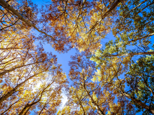
Booth Falls
A 4.2-mile out-and-back near Vail, moderately challenging with a payoff at the falls themselves. Best May through October, dogs welcome on leash — peak snowmelt in late spring gives you the most dramatic water volume if a powerful falls shot is what you're after.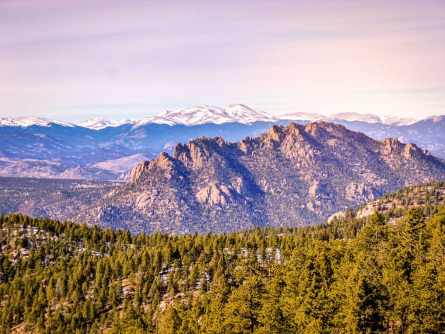
Devil's Head
A granite outcropping west of Castle Rock, visible from as far as Woodland Park, and home to the only fire lookout tower in Colorado still staffed by the National Forest Service — enough to earn it a spot on the National Register of Historic Places. The lookout tower views stretch across the Rampart Range for a hundred miles in every direction, which is reason enough on its own, and the tower structure itself makes a strong subject against a sunset sky.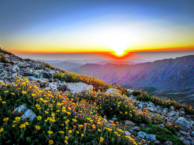
Grays and Torreys Peak
This 8.1-mile out-and-back near Idaho Springs follows a river for part of the route and is rated difficult, with steady traffic from hikers June through October. Dogs are welcome on leash — this is one of the more accessible fourteener pairs near the Front Range, which is exactly why it draws a crowd, and starting well before dawn gets you both summits in soft light before the trail fills in behind you.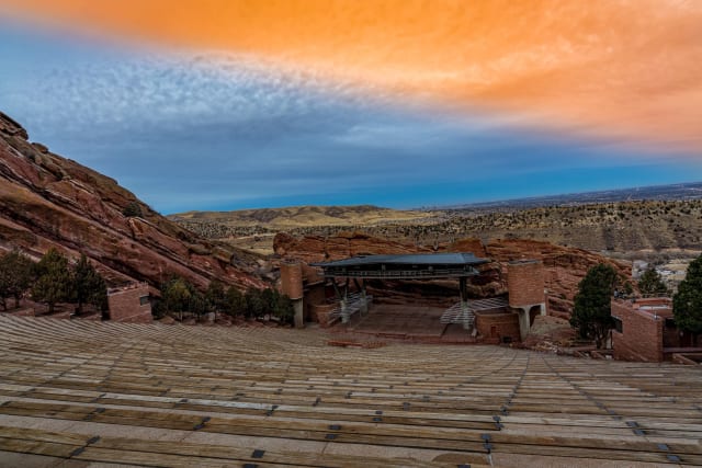
Red Rocks
There's a lot more to Red Rocks Park than the amphitheater — 738 acres of deer, pine, prairie, and striking geology, sitting at 6,450 feet where the plains meet the mountains. The amphitheater itself is a real geological phenomenon, one of the only naturally acoustically perfect venues anywhere, which is why everyone from Sting to U2 has made a point of playing there. Sunrise between the towering rock formations, with nobody else around, is a completely different experience than shooting it during a concert.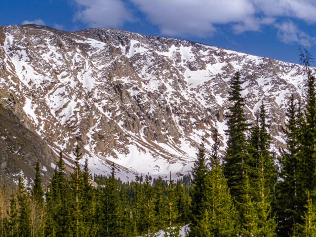
Hells Hole
Running 8 miles round trip near Idaho Springs, this moderately rated trail follows a river and stays open from March through October. Dogs are welcome on leash, and the basin at the end sits below a dramatic headwall that's worth the extra effort to frame properly.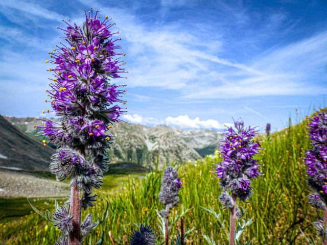
Huron Peak
A 6.6-mile out-and-back via the North Huron Trail near Buena Vista, rated difficult with wildflowers lining much of the route. Best May through September, dogs welcome on leash — the summit view over the Three Apostles and the Collegiate Peaks is one of the better fourteener panoramas for a wide stitched shot.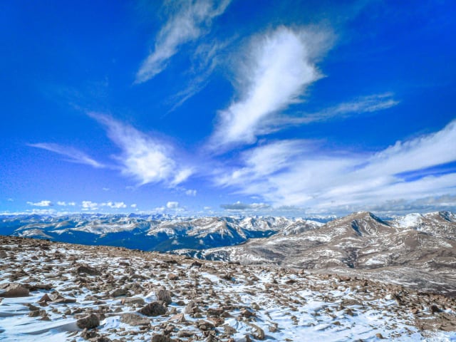
Mt Bierstadt
A 7.8-mile out-and-back near Idaho Springs and one of the more approachable fourteeners near Denver, rated challenging but popular for it. Best May through October, dogs welcome on leash — Sawtooth Ridge connecting to Mt. Evans is one of the more dramatic knife-edge formations visible from any Front Range fourteener trail.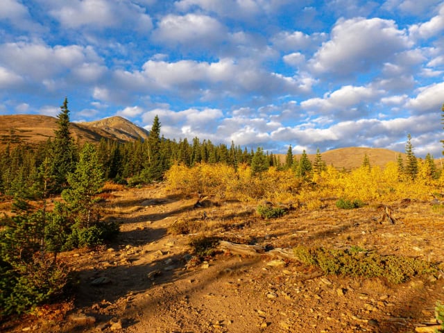
Mt Elbert
A 10.4-mile out-and-back via the North Trail near Twin Lakes, rated challenging as the tallest peak in the state deserves. Best May through October, no dogs allowed — as the highest point in Colorado, the summit view does show more of the Sawatch Range than any neighboring peak can offer.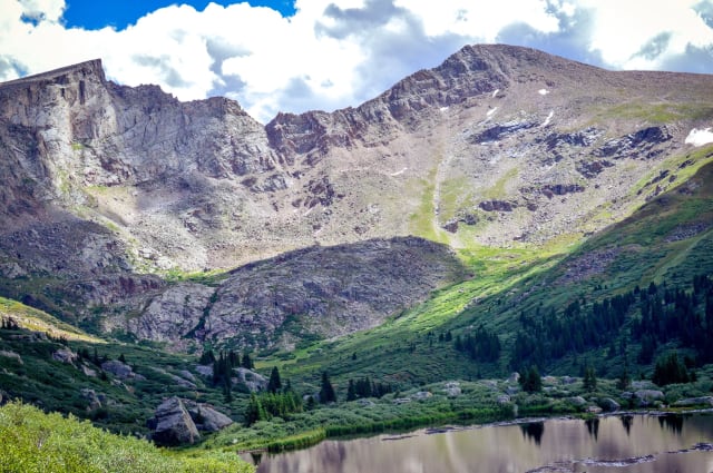
Mt Evans
A 5.2-mile out-and-back near Georgetown with a lake along the route, rated difficult and used for both hiking and rock climbing. Best April through November, dogs welcome on leash — mountain goats are a realistic sighting near the summit road, so it's worth carrying a telephoto even on a hiking-focused day.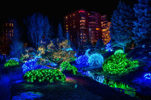
Denver Botanic Gardens
One of the most-visited botanical gardens in the country, with living collections spanning tropical to tundra across 24 acres in the heart of the city. Most of the gardens lean into Colorado natives suited to a semi-arid climate, but there are dedicated sections showcasing plants from well beyond the state too, alongside a steady calendar of exhibits and events — an useful macro-lens location any time of year, rain or shine.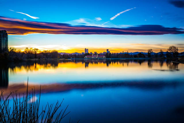
Denver City Park
The city's flagship regional park, home to the Denver Zoo, the Museum of Nature and Science, an IMAX theater, two lakes, and enough sports fields and playgrounds to fill a whole weekend on their own — without ever driving out of the city. The classic shot here is the downtown skyline reflected across Ferril Lake, with the mountains lined up behind it on a clear day.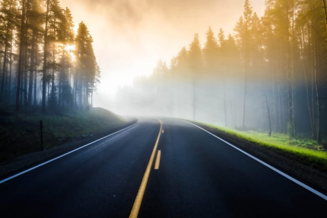
Cottonwood Pass
At 12,126 feet, this is the highest paved crossing of the Continental Divide reachable from Buena Vista, connecting the Arkansas Valley to the Taylor Park area near Crested Butte. The overlook near the summit puts you above nearly everything around it, and the road itself — visible switchbacking up the mountainside below — makes a strong leading line into a wide shot when the light's coming from low on the horizon.
Arvada
A Denver suburb along Ralston Creek and Clear Creek, with enough elevation in spots to catch storm and sunset color over the Front Range without driving into the mountains at all. Worth keeping in your back pocket for evenings when a big sky is building but you don't have time to get out of town — a fast-moving storm cell lit gold at sunset reads as dramatically here as it would from much further out.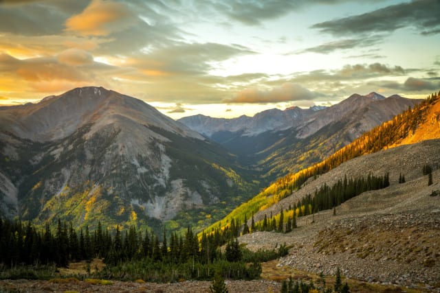
Hope Pass
A grueling climb above Twin Lakes, best known as the crux of the Leadville Trail 100 ultramarathon, topping out above 12,500 feet between Mount Hope and Quail Mountain. The reward for the climb is a view straight into the Collegiate Peaks that most casual visitors to the area never see — worth the effort specifically for a wide panorama shot that most Colorado fourteener images don't include.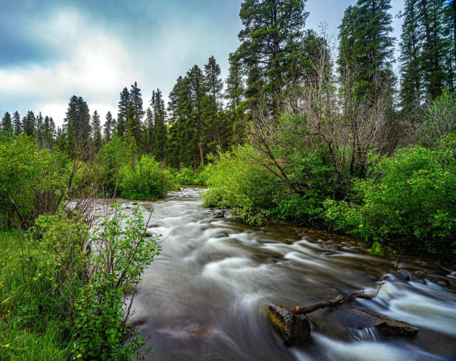
Almont
A small community at the confluence of the Taylor and East Rivers, just north of Gunnison, where spring runoff swells both channels into a fast, photogenic tangle of moving water. The confluence itself makes for a naturally strong compositional anchor point — two distinct currents meeting in one frame, which is a harder effect to find than a single river alone.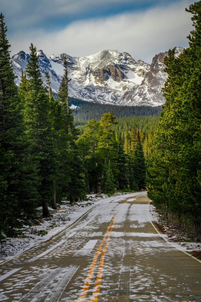
Brainard Lake Recreation Area
A high-elevation recreation area above Ward that serves as the gateway to some of the Indian Peaks Wilderness's best-known lakes, including Lake Isabelle and Long Lake, with the jagged Indian Peaks themselves as a backdrop throughout. The access road closes seasonally from mid-October to mid-June, so a winter visit means an extra few miles on foot from the gate — worth it for a much quieter version of a trail that gets crowded in summer.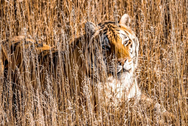
Keenesburg (Wild Animal Sanctuary)
A 501(c)(3) rescue northeast of Denver caring for large carnivores — lions, tigers, bears, wolves — most rescued from illegal or abusive situations, now roaming large, species-specific habitats across more than a thousand acres of open plains. A 1.5-mile elevated walkway lets you shoot down into the enclosures without a fence line cutting across the frame, which is a real advantage over most zoo-style wildlife photography.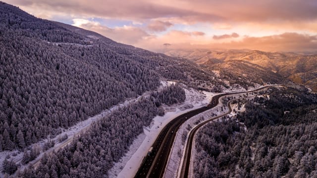
Floyd Hill
A steep, winding stretch of I-70 climbing out of Clear Creek Canyon west of Denver — infamous for weekend ski traffic backups, but also a vantage point for photographing the highway itself as it threads through the canyon walls. A slow shutter from one of the pullouts above turns the traffic into ribbons of light against the rock, especially at dusk once headlights and taillights both start showing up clearly.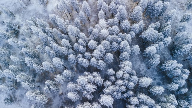
Evergreen
A foothills town built around Evergreen Lake, with Bergen Peak and the surrounding forest giving it a different character than the drier canyons closer to Denver. Frost and rime ice on the pines here after a cold, calm night is a real and recurring phenomenon worth checking for specifically — an overhead or close-in angle on frosted branches makes for a graphic, almost abstract winter shot most Front Range towns can't offer.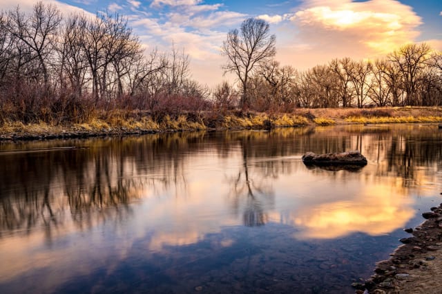
Littleton
A Denver suburb along the South Platte River with several reservoirs and open-space parks that freeze over completely most winters, offering stark, minimal compositions once the snow clears and the ice is exposed. A calm, cold morning right after a freeze is the window to catch clean ice texture before wind and foot traffic start marking it up.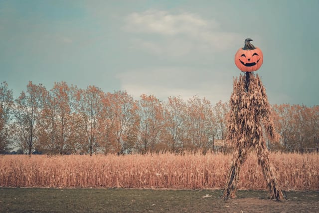
Anderson Farms (Erie)
Colorado's largest fall agritourism destination, with a 30-acre corn maze, pumpkin patch, and a sunflower field that opens for U-pick from mid-July through mid-August. The sunflower field specifically is worth timing carefully — full, fresh bloom lasts only a couple of weeks, and a scarecrow or two scattered through the rows gives you a subject beyond just the flowers themselves.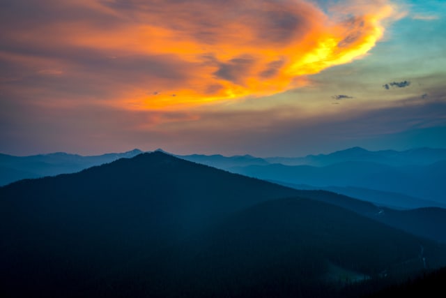
Chief Mountain
A distinctive peak visible from the Evergreen/Squaw Pass area southwest of Denver, popular enough as a short, moderate hike that it draws a steady stream of Front Range day-trippers year-round. Its isolated shape stands out cleanly against a sunset sky, making it a strong single-subject silhouette shot without needing to include any surrounding ridgeline for context.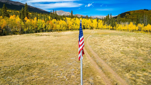
Fairplay
A high mountain town in South Park at over 9,900 feet, with wide-open ranchland and the Mosquito Range as a backdrop — one of the best places in the state to shoot a lone flag, fence line, or two-track road against big sky and mountains. The openness here means very little competes with your subject, which is exactly the point.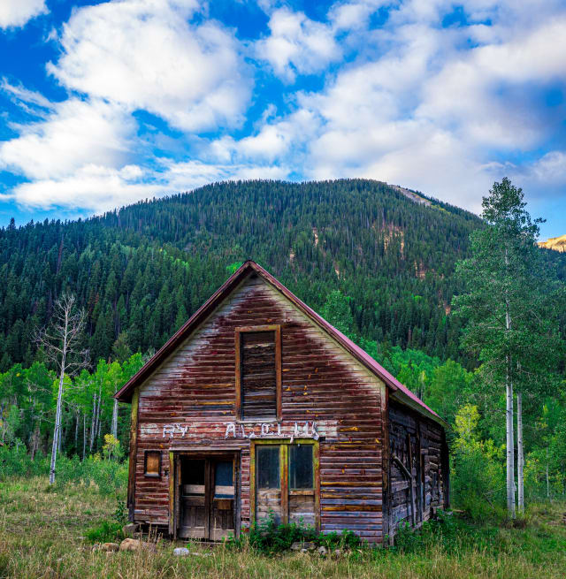
Crystal, CO (townsite)
A near-ghost town a few miles up the road from Crystal Mill, with only a handful of remaining structures and year-round residents despite having no grid electricity even today. Weathered, abandoned buildings against the Elk Mountains make for a different subject than the Mill itself, and far fewer people make the extra push up the 4WD road to see them.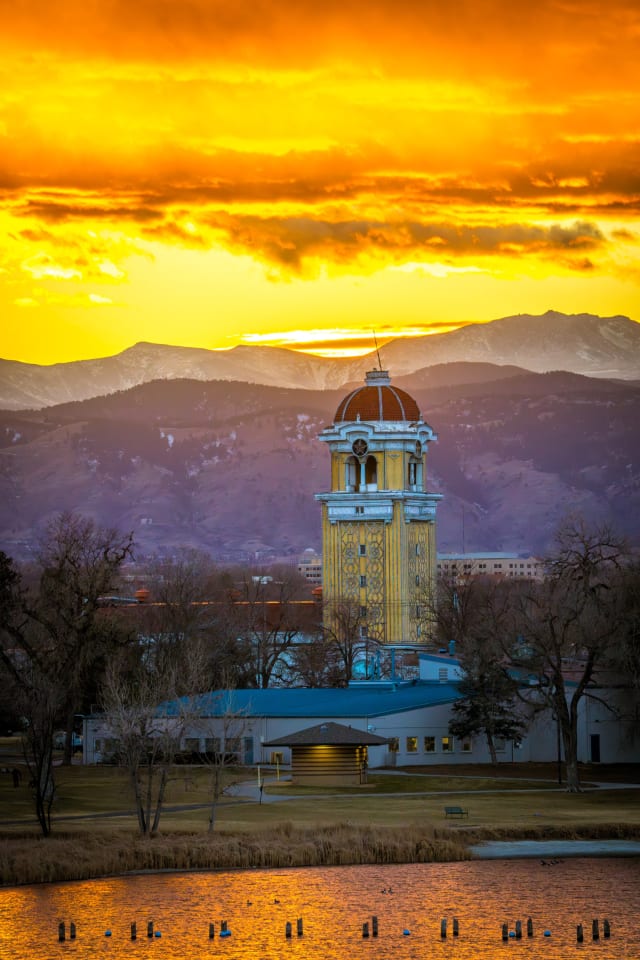
Lakeside, CO (Lakeside Amusement Park)
The oldest amusement park in Colorado still operating on its original site, opened in 1908, with a vintage Tower of Jewels lit up against the Front Range skyline after dark. Neon and incandescent bulbs against a darkening sky, with the mountains still faintly visible behind them, gives you a period-feeling shot that's hard to replicate anywhere else in the metro area.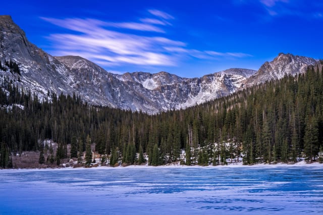
Idaho Springs Reservoir
A small reservoir just outside the historic mining town of Idaho Springs in Clear Creek Canyon, easy to reach right off I-70 without a long detour. Ice formations along the shoreline in deep winter are the real draw here — close-up, backlit ice texture makes for a strong macro-adjacent shot that doesn't require any hiking at all to reach.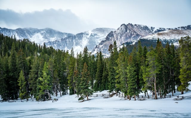
Echo Lake
A small lake at the base of the Mount Blue Sky Scenic Byway, with the historic Echo Lake Lodge on its shore and direct views up toward the peak itself. It's one of the lowest-effort high-alpine lake shots in the state — you can be lakeside in minutes from the parking area — and the snowfield below Mount Blue Sky stays visible well into summer some years, giving you snow-capped drama without a long approach.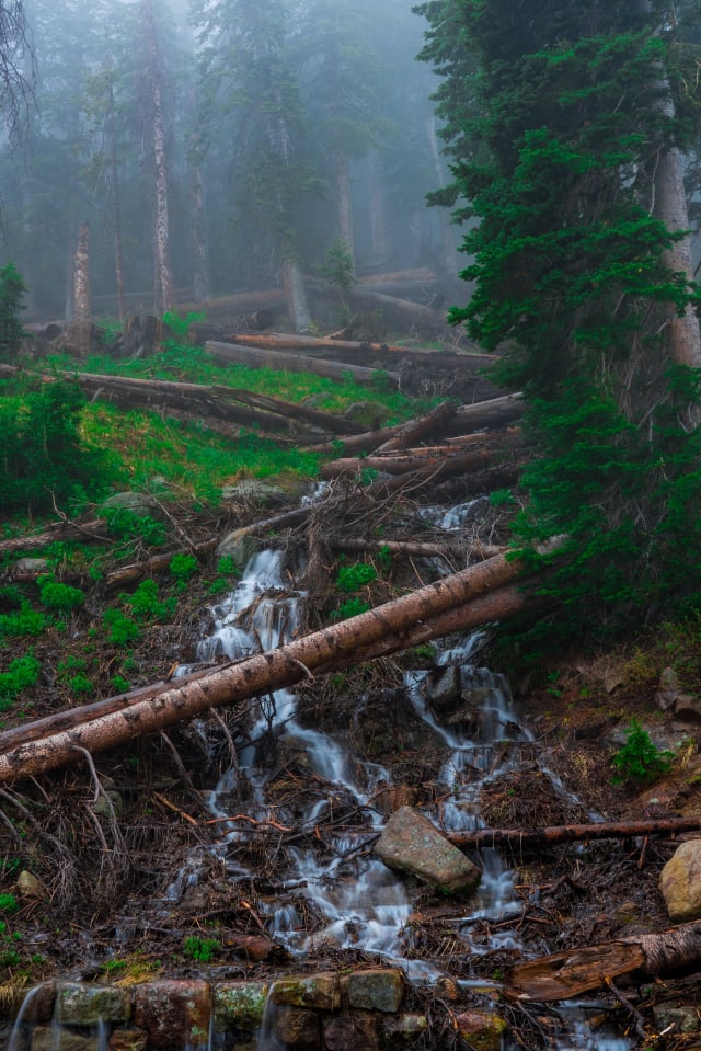
Trail Ridge Road, RMNP
The highest continuously paved highway in the country, cresting above 12,000 feet as it crosses Rocky Mountain National Park between Estes Park and Grand Lake. Meltwater runs directly across sections of the road in early summer, which reads as an unusual foreground element most highway shots don't have — the road itself, water, and tundra all in one frame.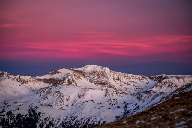
Mount Sniktau
A 13,000-foot peak reached directly from the Loveland Pass summit, popular as a relatively approachable ridge walk given how much elevation you start with already. The ridgeline here catches alpenglow early and cleanly since there's nothing blocking the horizon in any direction — one of the more reliable sunrise-color spots for a peak this easy to reach from the highway.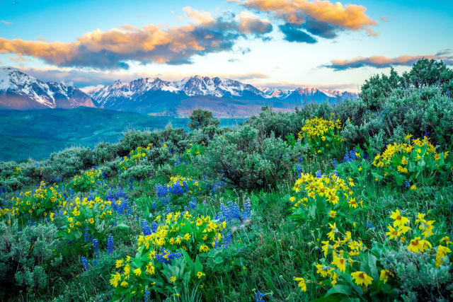
Acorn Creek Trail (Silverthorne)
A quiet trail on the east side of the Blue River valley about 10 miles north of Silverthorne, reached from Highway 9 by Ute Park Road and a short forest road to the trailhead. It climbs through sagebrush meadows and aspen groves toward the Ptarmigan Peak Wilderness boundary, about 1.7 miles in, with the whole Gore Range lined up across the valley to the west. It is one of the first trails in Summit County to lose its snow, and in early June the open slopes fill with arrowleaf balsamroot and lupine. For photography, come early, when the Gore catches the first light, and get low so the blooms fill the foreground with the peaks behind them. The aspens make it a good fall hike too, and with no bikes or motor vehicles allowed, it stays quiet.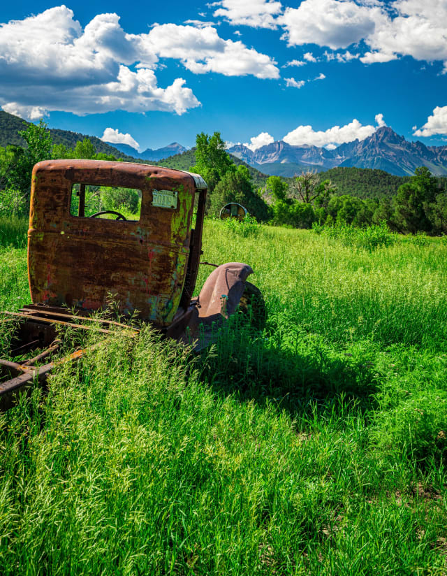
Mount Sneffels Overlook (Ridgway)
The ranch country west of Ridgway along Highway 62 toward the Dallas Divide has some of the most famous mountain views in Colorado, with the jagged Sneffels Range rising above pastures, aspen and scrub oak. Pullouts along the highway and the county roads that head south toward the range let you frame Mount Sneffels and its neighbors without a hike. Summer brings green fields and big afternoon clouds, and late September is one of the classic fall-color drives in the state. Clear mornings put warm light on the summits, and old barns, fences and the odd abandoned truck make good foregrounds. Most of the land is private ranch property, so shoot from the road and the pullouts and stay outside the fences.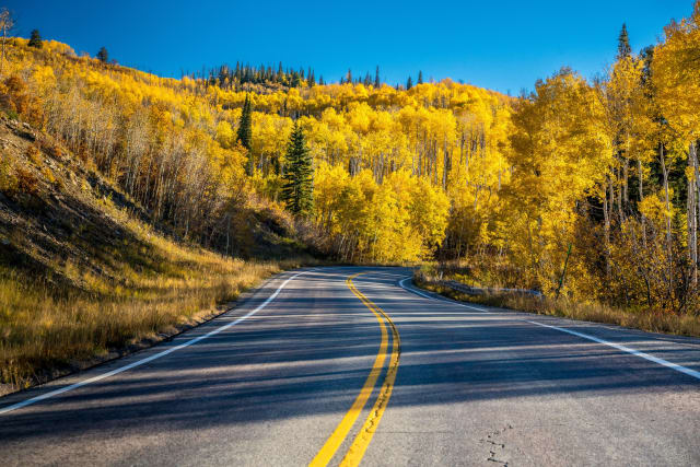
McClure Pass
An 8,755-foot pass on Highway 133 between the Crystal River valley and Paonia, part of the West Elk Loop Scenic Byway. The road climbs through huge, unbroken aspen groves on both sides, which makes it one of the best fall drives in the state, usually peaking from late September into early October. Redstone and Marble are just down the road on the Crystal River side, so it pairs well with a day around the Crystal Mill. For road shots, find a safe pullout on a curve and get low to the pavement so the center line leads into the color, and keep an eye on traffic. Morning keeps the hillsides in softer light before the midday sun flattens the gold.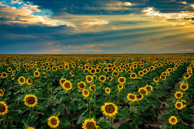
DIA Sunflower Fields
Denver International Airport leases thousands of acres of its land to farmers, and in some years whole sections bloom with sunflowers for a few weeks in late summer. The farmers rotate their crops, so the fields move from year to year; the easiest way to find them is to drive the roads around the airport, such as Tower Road, 56th Avenue, 120th Avenue and Imboden Road, and look. The flowers are a working crop on airport property, so park safely on the shoulder of a paved road, stay out of the rows, and leave the drone at home. Evening is the time to go: summer storms often build over the plains, and breaks in the clouds throw sun rays and the occasional rainbow over the fields. A longer lens from the roadside compresses the rows into a wall of yellow.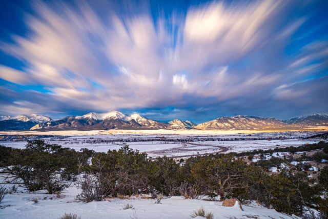
Collegiate Peaks (Buena Vista)
A chain of fourteeners in the Sawatch Range named for universities, including Mount Harvard, Mount Columbia, Mount Yale, Mount Princeton and Mount Oxford, rising above the Arkansas Valley west of Buena Vista. You do not have to climb one to photograph them: the valley floor and the roads east of town give a full view of the range, especially after fresh snow. Winter is a great time, when the peaks are bright white above the dark pinon and juniper of the valley, and windy days bring fast clouds to stretch with a long exposure. The range faces east, so sunrise lights the summits first. Buena Vista makes a good base, with hot springs and the Arkansas River close by.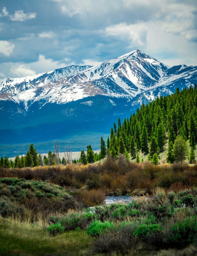
Mount Massive
A 7-mile out-and-back near Twin Lakes, recommended only for very experienced hikers, with wildflowers along much of the route. Best April through October, dogs welcome on leash — despite the name, this is a broad, rounded ridgeline rather than a single dramatic peak, so a wide panorama does more justice to it than a single vertical frame.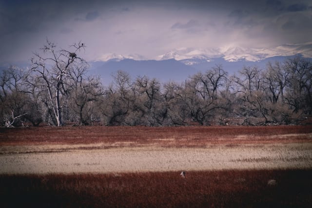
Barr Lake
A short drive northeast of Denver, with something for the fishing crowd, boaters, and naturalists alike at Barr Lake State Park. The lake draws a reliable population of waterfowl, so a longer lens pays off here even if you came mainly for the landscape.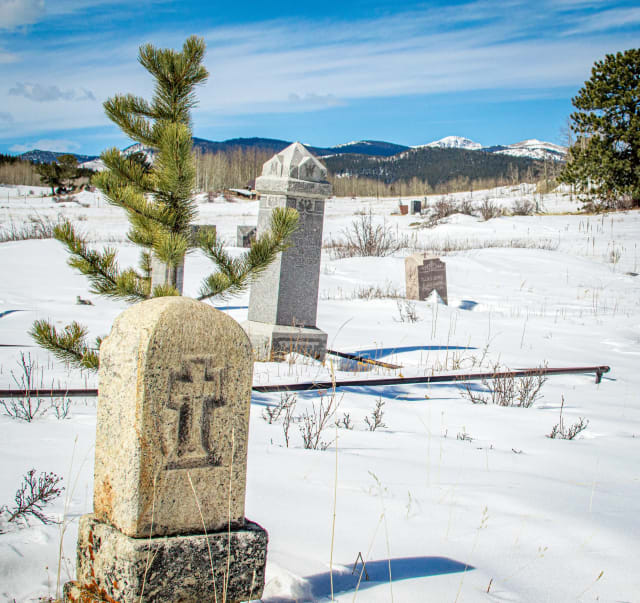
Central City Masonic Cemetery
One of the more unsettling cemeteries in the state, tucked between Central City and Black Hawk. It looks ordinary enough at first glance, but the place carries a long list of local legends that have made it a fixture on Colorado's spookier-destinations lists — overcast, flat light actually suits this kind of subject better than harsh sun, which tends to flatten the mood entirely.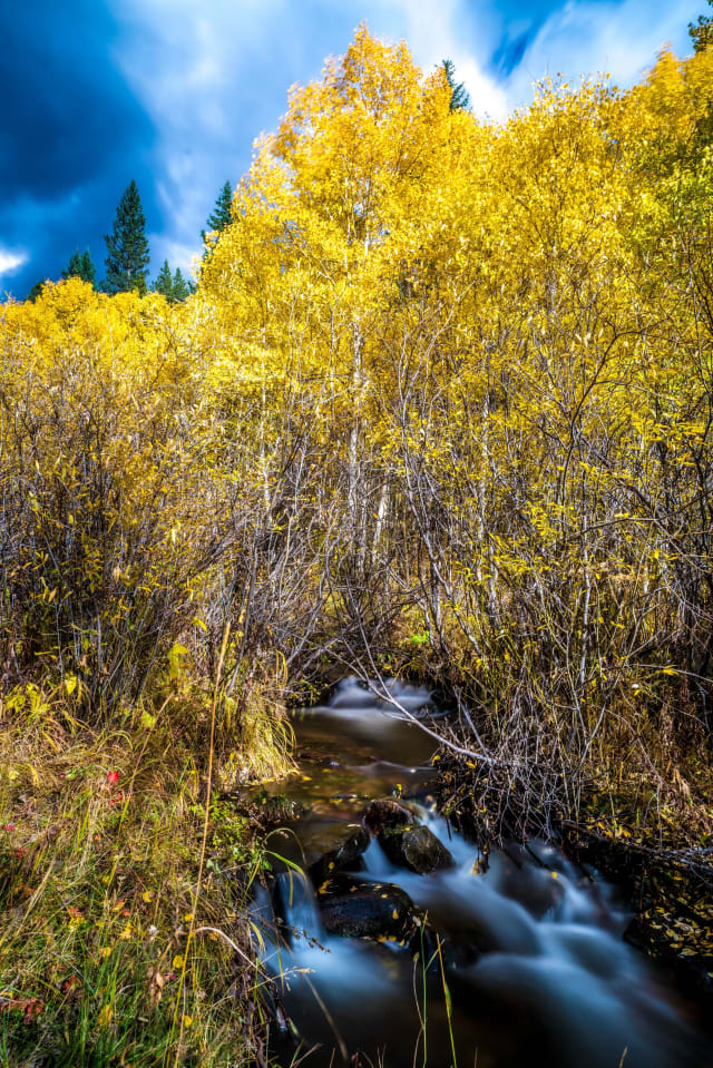
Three Mile Creek
Following a river for most of its 9.4 miles near Grant, this out-and-back trail allows horses as well as hikers and is rated moderate. Best from May through October, with dogs welcome on leash — the creek stays close to the trail nearly the whole way, so a slow-shutter water shot is never far off.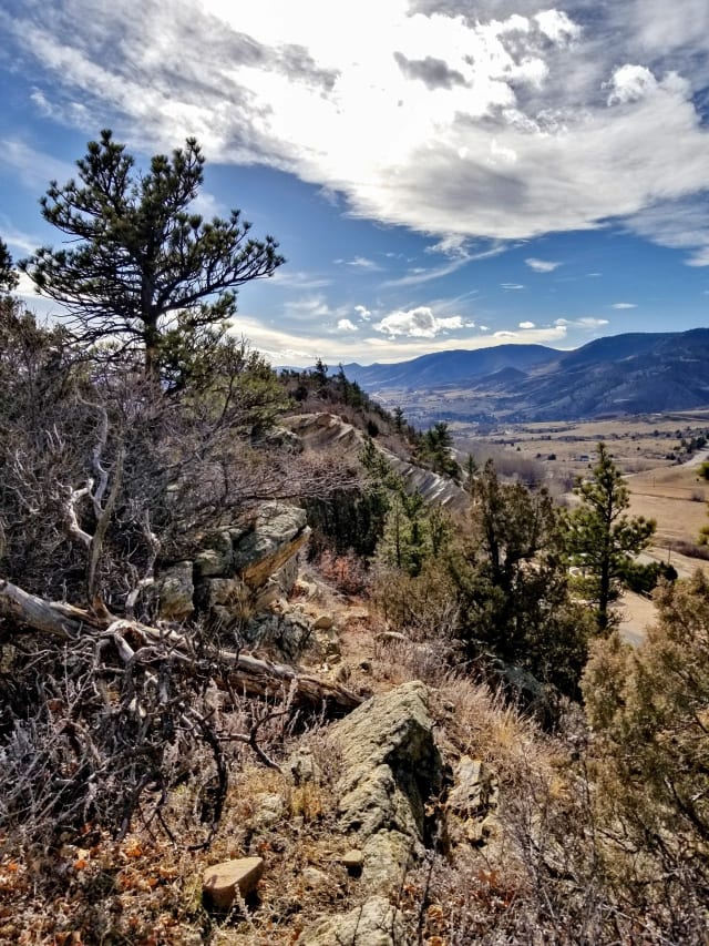
Dakota Ridge Trail
A 5.4-mile out-and-back near Golden rated moderate, with wildflowers along the route and steady use from hikers, walkers, and runners. Dogs are welcome here — the ridge's tilted sandstone slabs make for striking leading lines pointing straight toward the Front Range peaks behind them.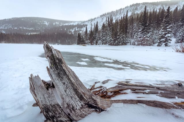
Lost Lake
A 4-mile out-and-back near Nederland, moderately challenging and popular for backpacking, camping, and fishing rather than just a day hike. It's open and worth visiting year-round, and dogs are welcome on leash — camping here means you get first light on the water before any day hikers arrive.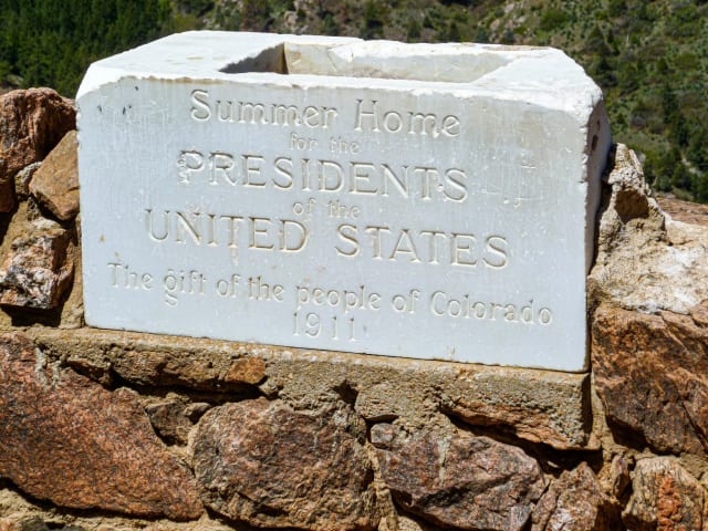
Mt Falcon
A 6.7-mile loop near Morrison via the Castle Trail, rated moderate with a real shot at wildlife sightings along the way. Best March through October, dogs welcome on leash — the ruins of the old Walker family castle partway up the trail make for an unusual foreground subject you won't find on a typical foothills hike.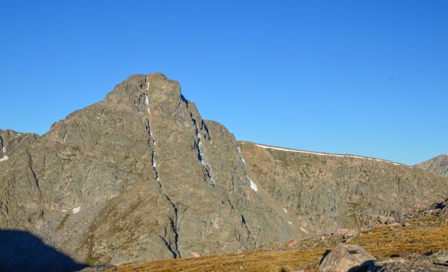
Mount Holy Cross and Halo Ridge
A 13.8-mile out-and-back via the Halo Ridge Route near Minturn, recommended only for very experienced hikers given the exposure and route-finding involved. Best May through September, with a real chance of wildlife sightings for those who make the trip — the cross-shaped snow couloir the mountain is named for is most visible and best defined in early summer before it melts out completely.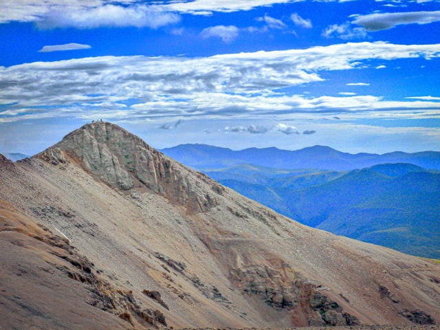
The Decalibron
A 7-mile loop near Alma linking four summits — Democrat, Cameron, Lincoln, and Bross — in a single difficult but efficient day. There's a lake along the route, and the window runs June through October — four summits in one loop means four completely different angles on the surrounding range without repeating a trailhead.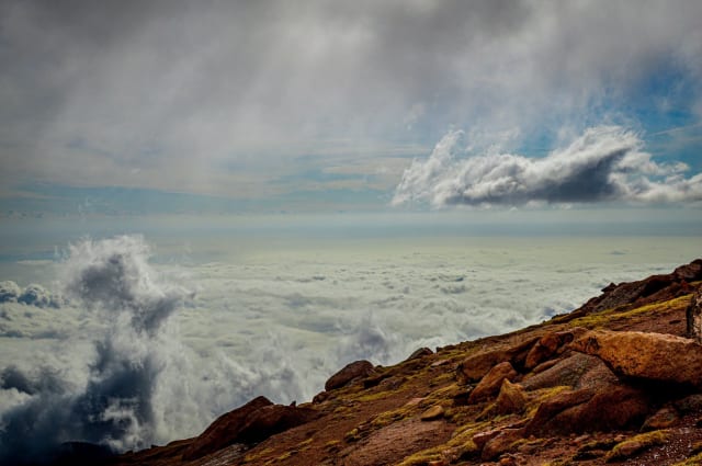
Pikes Peak
A 25-mile out-and-back via the Barr Trail near Manitou Springs, recommended only for very experienced hikers given the sheer distance and elevation gain involved, with a waterfall along the way for those tackling it. Best May through October, dogs welcome on leash — this is a full-day commitment even for strong hikers, and the summit view over the plains to the east is dramatically different from any Front Range mountain view looking west.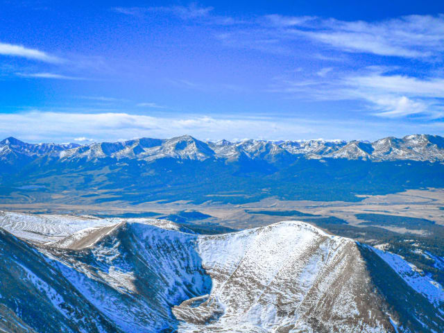
Mount Sherman
A 4.4-mile out-and-back from Iowa Gulch near Leadville, rated difficult with scenic views for a relatively short fourteener approach. Best June through October — old mining ruins scattered along the upper approach add historic texture that most fourteener trails don't offer.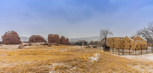
South Valley Park, Jefferson County
Nearly 1,000 acres of dramatic red sandstone spires and hogback formations in the foothills southwest of Denver, with well-maintained trails that stay level enough for an easy sunrise or sunset outing without much elevation gain. The rock takes on real color at both ends of the day; climbing on the formations themselves isn't allowed, so plan your composition from the trail rather than counting on getting above the rock.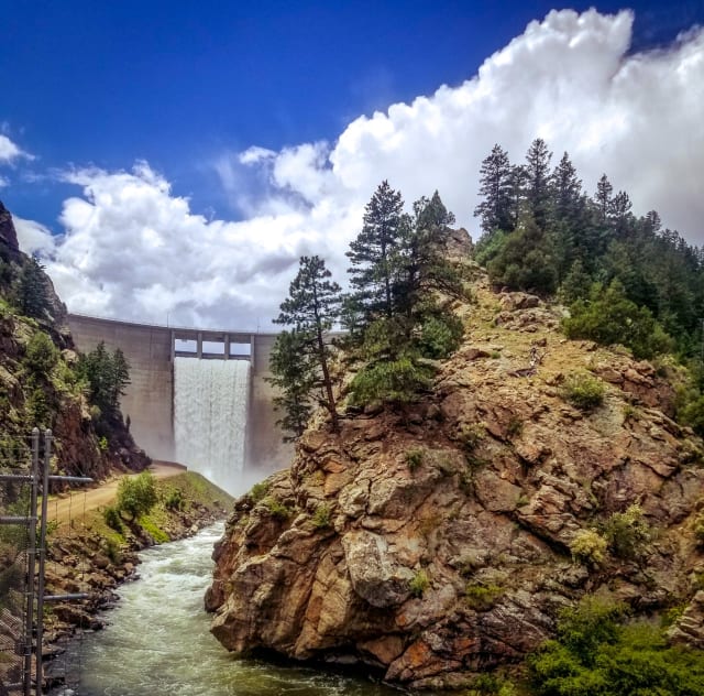
Waterton Canyon
A winding dirt road along the South Platte River, with bighorn sheep and eagles both realistic sightings depending on the day. Options range from a short in-and-out for a picnic to the full 12.4-mile round trip to Strontia Springs Dam, and the canyon accommodates hiking, biking, and fishing all on the same route — the bighorn sheep here are reliable enough that a dedicated wildlife telephoto trip is worth planning around this canyon specifically.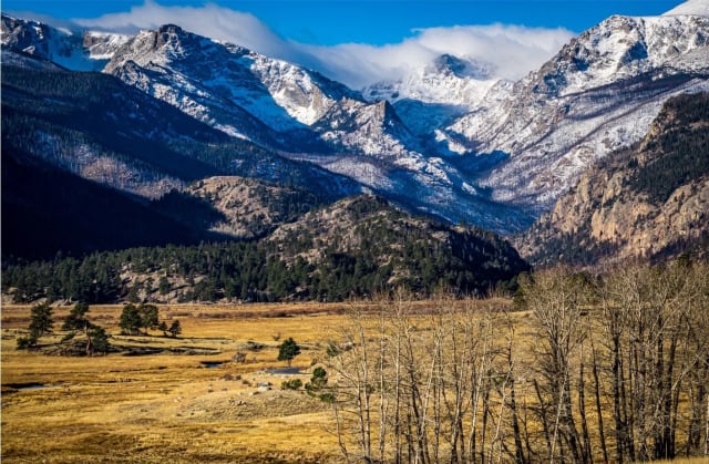
Moraine Park
A wide glacial valley in Rocky Mountain National Park that works for backpacking, hiking, climbing, or snowshoeing depending on the season — and for photography, pretty much any time of day. It's one of the more reliable spots in the park for elk, especially at dawn and dusk, and the open valley floor means you can work a composition with the herd, the river, and the peaks all in the same frame.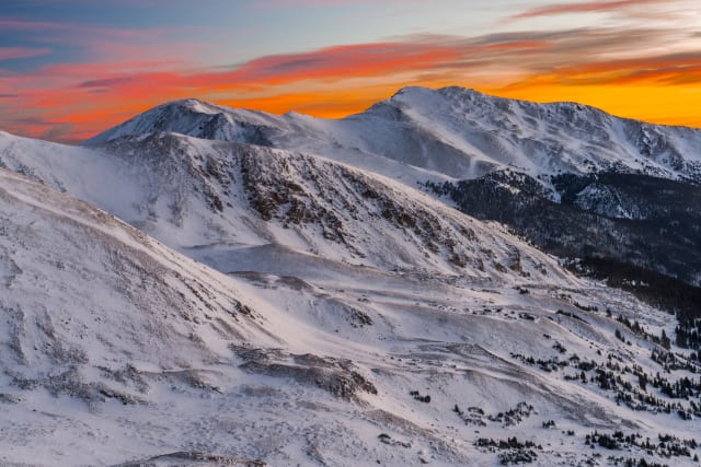
Loveland Pass
Sitting on the Continental Divide along US 6 west of Denver, this pass is treacherous enough in winter that crews have a hard time keeping it plowed on the steep, hairpin-heavy grade. It's named for William A.H. Loveland, who opened the original wagon road here in 1869 — a route that was later abandoned and then restored for vehicles in 1920, and today the summit is one of the more accessible high-altitude Milky Way spots within an hour of Denver.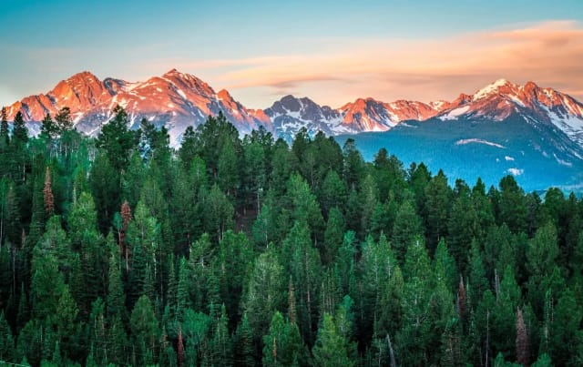
Gore Range (general)
A jagged, largely trail-less range running roughly from Vail Pass to Kremmling, named for the Irish nobleman who financed an infamous 1850s hunting expedition through the area. Unlike more accessible ranges nearby, the Gore's serrated ridgeline is best photographed from a distance — Willow Lakes, Silverthorne, or Ptarmigan Peak all offer strong vantage points without requiring technical climbing to get close.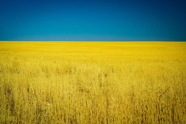
Eastern Plains (general)
Colorado's often-overlooked eastern third — flat, open, and dominated by sky in a way the mountains never allow. Sunrise and sunset here stretch across an uninterrupted horizon, and a simple two-color composition — warm sky over dark ground, nothing else in frame — can be a more striking, more difficult shot to nail than a busier mountain scene.