Arapaho Pass
A historic mining trail to a Continental Divide pass with old mine relics and a view down to Caribou Lake.
About Arapaho Pass
Arapaho Pass sits on the Continental Divide in the Indian Peaks Wilderness, west of Nederland and Eldora. The trail starts at the Fourth of July Trailhead at about 10,100 feet and climbs 3.3 miles to the pass at 11,906 feet, a net gain of roughly 1,800 feet.
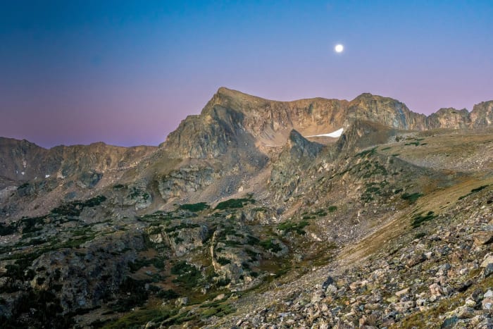
Along the way you pass the Diamond Lake junction at 1.2 miles and then the remains of the Fourth of July Mine near treeline, where rusted equipment and filled-in shafts sit beneath the Arapaho Peaks. From the pass, the view drops west to Caribou Lake about 750 feet below, and Lake Dorothy is a short side trip for those with extra energy.
The drive is part of the adventure: Fourth of July Road leaves the pavement past Eldora and runs about five rough but usually passable dirt miles to the trailhead.
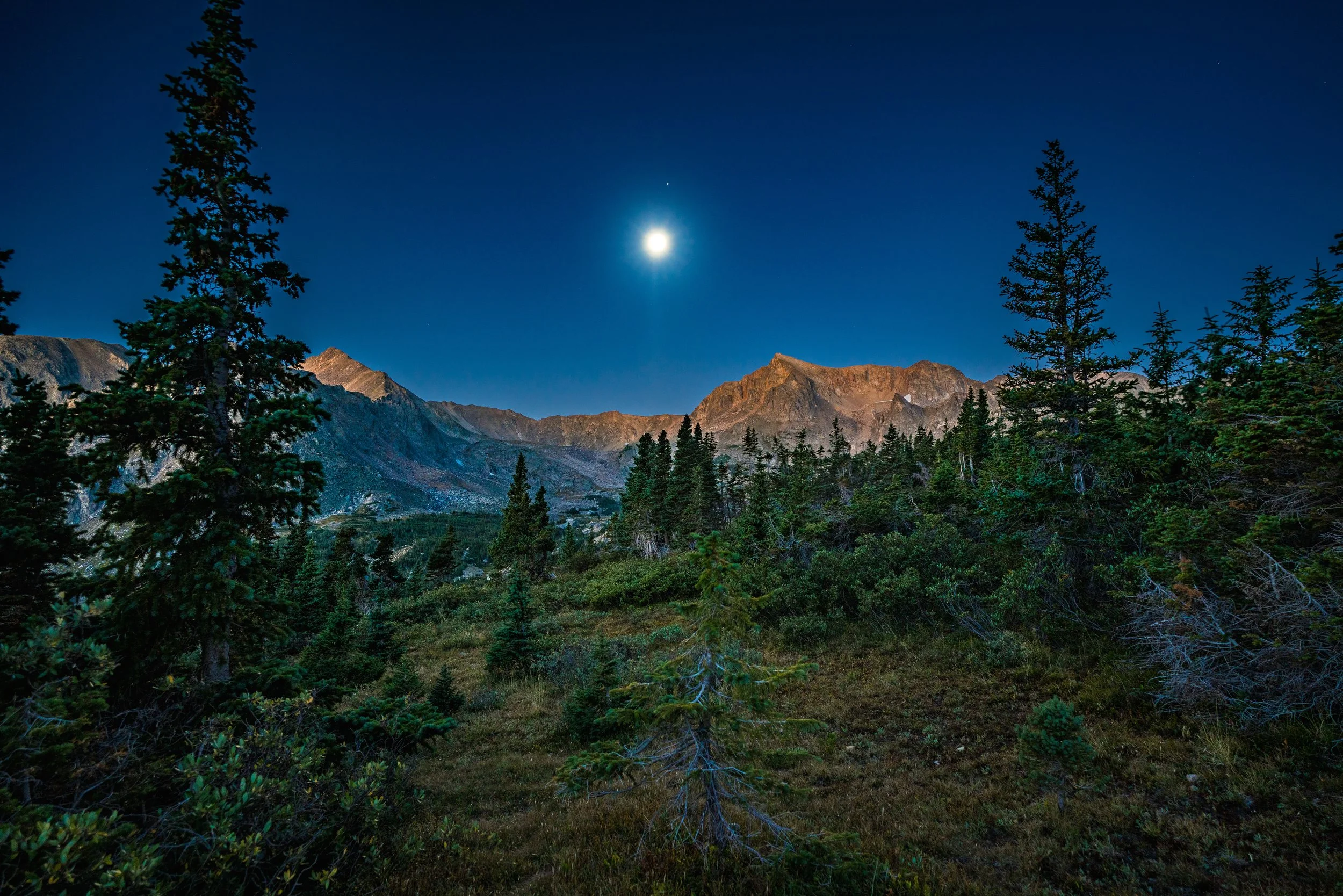
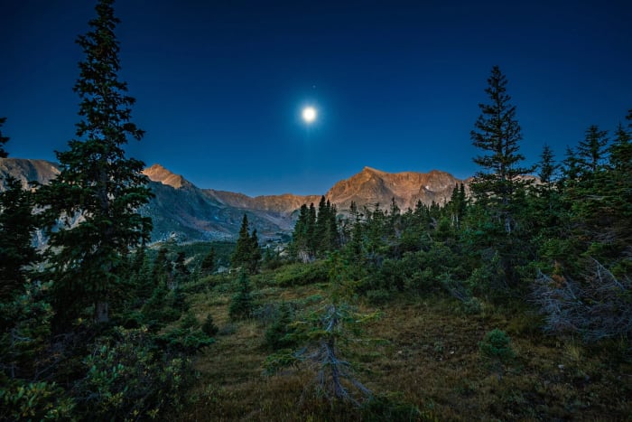
A high pass in the Indian Peaks Wilderness reached via the Fourth of July Trailhead near Nederland, with Lake Dorothy sitting just below the pass itself. Moonlit shots here work surprisingly well given the elevation and open sightlines — the pass sits well above most light pollution from the Front Range, making it a solid choice for a night shot that still shows real terrain instead of a flat black foreground.
History
The trail follows an old wagon road that miners began building toward the pass during the 1870s mining era but never completed. The Fourth of July Mine's relics remain along the route. The surrounding Indian Peaks Wilderness was designated by Congress in 1978, and many of its summits carry tribal names chosen around 1914 by botany teacher Ellsworth Bethel, who drew inspiration from the existing Arapaho Peaks name. Arapaho Glacier, nearby, is owned by the City of Boulder as part of its watershed and is closed to hiking and camping.
Photographing Arapaho Pass
Best light: Early morning is best: you beat the afternoon thunderstorms and get clean light on the east-facing slopes of the Arapaho Peaks and the mine relics. Midsummer brings alpine flowers to the basin, and early fall turns the tundra gold.
Shots to look for
- Rusted Fourth of July Mine machinery in the foreground with South Arapaho Peak above, 16-24mm
- From the pass, a wide frame looking west down to Caribou Lake in its basin
- The trail snaking up through the valley with the Divide behind, shot from the switchbacks above the mine
- A side trip to Lake Dorothy for a reflection of the surrounding ridgeline on a calm morning
Photo tips
- Start very early; the trailhead lot fills on summer weekends and storms build fast above treeline
- Leave the mine relics in place and stay off any unstable structures
- A polarizer helps with deep alpine skies and lake reflections
- Drones are not permitted in wilderness areas
Know before you go
- Fourth of July Road is rough dirt for the last five miles and isn't maintained in winter; it typically opens before Memorial Day, but trails stay snowy into July
- Indian Peaks Wilderness rules apply: campfires are banned year-round and overnight camping needs a permit June 1-September 15
- Group size is limited to 12 people and stock combined
- No potable water at the trailhead
Prints from Arapaho Pass
Every photo is available as a print on metal, canvas, wood or fine art paper.


Frequently asked questions
How long is the Arapaho Pass hike?
It's 3.3 miles one way from the Fourth of July Trailhead, about 6.6 miles round trip, with roughly 1,800 feet of net gain.
Do you need a permit for Arapaho Pass?
Day hikers don't need a permit, but overnight camping in the Indian Peaks Wilderness requires one from June 1 to September 15. Check current USFS rules.
Can a car make it to the Fourth of July Trailhead?
In summer, the rough dirt road is generally passable in a passenger car with care. It isn't maintained in winter.
Combine it with
Diamond Lake Trail · South Arapaho Peak · Lost Lake · Lake Dorothy
More Colorado spots
Rocky Mountain Arsenal NWR, Commerce City · Steamboat Springs · Grand Lake
Sources & further reading: fs.usda.gov · en.wikipedia.org · 10adventures.com. Conditions, fees and rules change; check with the managing agency before you go.