Horse Ranch Park (Kebler Pass Road)
A broad meadow trailhead in the heart of Kebler Pass aspen country, with The Dyke and the Ruby Range above.
About Horse Ranch Park
Horse Ranch Park is a meadow trailhead and dispersed camping area in the Gunnison National Forest, about 11 to 12 miles west of Crested Butte on Kebler Pass Road (County Road 12). It sits around 9,000 feet, between the Raggeds and West Elk wilderness areas, with a small stream and pond.
The trailhead is the hub for several routes: the Dyke Trail toward Lake Irwin, the Dark Canyon Trail into the Raggeds Wilderness, and the Cliff Creek and Three Lakes areas. From the trails you look up at The Dyke, a dramatic rock rib, along with the Ruby Range, the Anthracite Range, East Beckwith and Marcellina Mountain.
Kebler Pass is famous for its expansive aspen groves, and Horse Ranch Park is right in the middle of them, making it a natural stop on any fall color trip around Crested Butte.
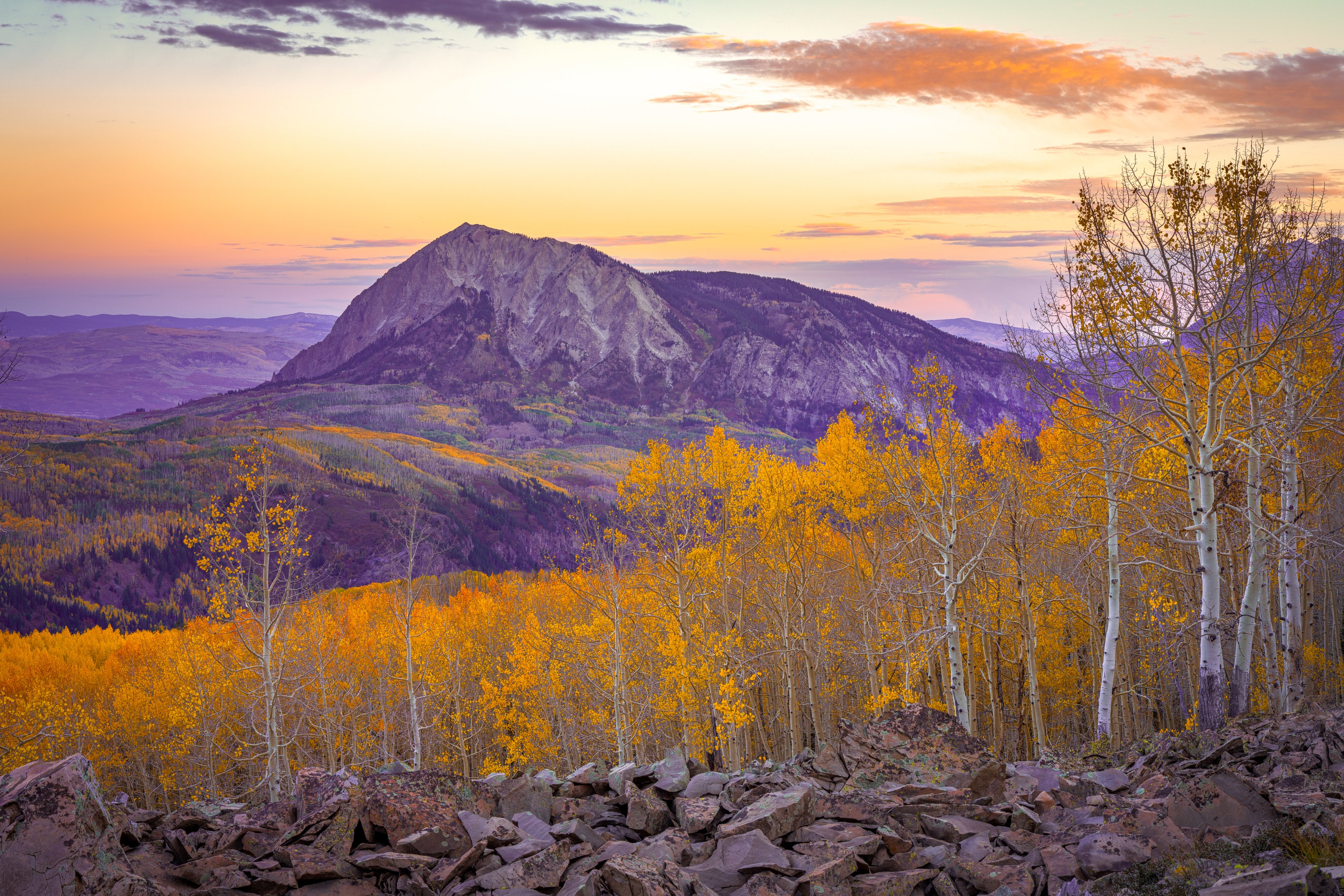
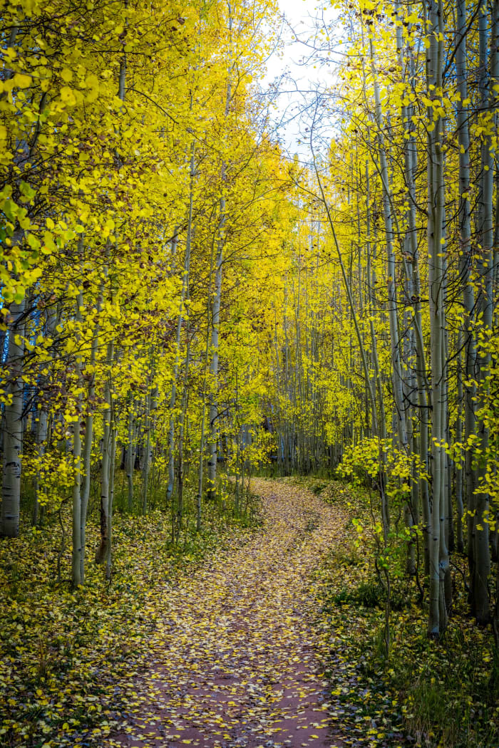
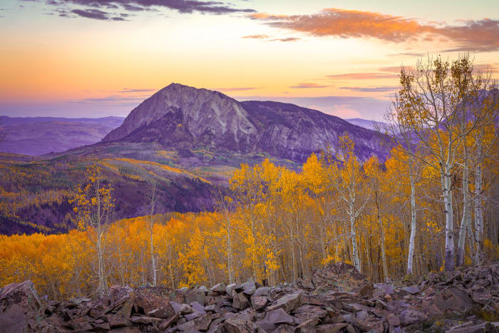
A quiet meadow and trailhead area about 11 miles west of Crested Butte on Kebler Pass Road, at the edge of the Gunnison National Forest and the Raggeds and West Elk Wilderness areas. It is popular with horseback riders and campers, which keeps it far less crowded than the main Kebler viewpoints, and the trails climb through aspen to big open views of the surrounding peaks. For photography, scout a foreground first: boulders, a bend in the trail, or a clump of golden aspens all give the eye a way into a sunrise frame with the peaks behind. In the right week of fall the forest floor turns to a carpet of yellow leaves, and a shaded trail through the trees makes a strong leading line. Go early, bring layers, and expect wind to strip leaves quickly after a storm.
History
Kebler Pass Road crosses the West Elk Mountains between Crested Butte and Paonia and the area was once home to the mining camps of Irwin and Ruby, near today's Lake Irwin. The surrounding forest is Grand Mesa, Uncompahgre and Gunnison National Forest land.
The Dark Canyon Trail from here is the main route across the southern Raggeds Wilderness, following Anthracite Creek through its canyon and dropping steeply on a section called the Devil's Stairway on the way to the Erickson Springs area.
Photographing Horse Ranch Park
Best light: Morning is best: the sun comes over the ridges to the east and backlights the aspens on the slopes around the meadow, and fog often settles in the low ground on cool fall mornings. Late September is peak aspen season, and July brings wildflowers in the meadow.
Shots to look for
- Marcellina Mountain and East Beckwith rising over gold aspens, telephoto from the meadow edge
- The Dyke's rock rib above fall color from the lower Dyke Trail, 24-70mm
- Mist hanging in the meadow at sunrise with aspen stands behind
- Beaver dam and pond reflections near the trailhead on calm mornings
- Elk grazing in the meadow at dawn or dusk, 100-500mm
Photo tips
- Kebler Pass Road is mostly gravel and very busy in late September; arrive at dawn
- Elk are common here; during rifle hunting season wear blaze orange on the trails
- Bring water; there's no potable water at the trailhead
- Use existing fire rings and follow Leave No Trace if dispersed camping
- Drones are prohibited in the adjacent Raggeds and West Elk wildernesses
Know before you go
- Kebler Pass Road closes in winter; check status in late spring and fall
- The Dark Canyon Trail enters the Raggeds Wilderness and is open to hiking and horseback riding only
- Mountain bikers coming down from Lake Irwin share the Dyke Trail; stay alert
Prints from Horse Ranch Park
Every photo is available as a print on metal, canvas, wood or fine art paper.


Frequently asked questions
How far is Horse Ranch Park from Crested Butte?
Roughly 11 to 12 miles west of town on Kebler Pass Road (County Road 12). Watch for the signed turn on the north side of the road.
Can you camp at Horse Ranch Park?
Yes, dispersed camping is allowed. There's an outhouse, picnic tables and fire rings, but no potable water.
When are the aspens best on Kebler Pass?
Typically mid to late September, with peak timing varying from year to year.
Featured in: Best Fall Color Spots in Colorado
Combine it with
Ohio Pass (The Castles Overlook) · Lake Irwin · Lost Lake Slough · Crested Butte
More Colorado spots
Willow Lakes Trail (Gore Range) · Kenosha Pass · Lone Eagle Peak
Sources & further reading: denvergazette.com · horseandrider.com · hikingproject.com · en.wikipedia.org. Conditions, fees and rules change; check with the managing agency before you go.