Snowmass Trail
A quiet, steep climb from Snowmass Creek to West Snowmass Pass and big views of the Elk Mountains.
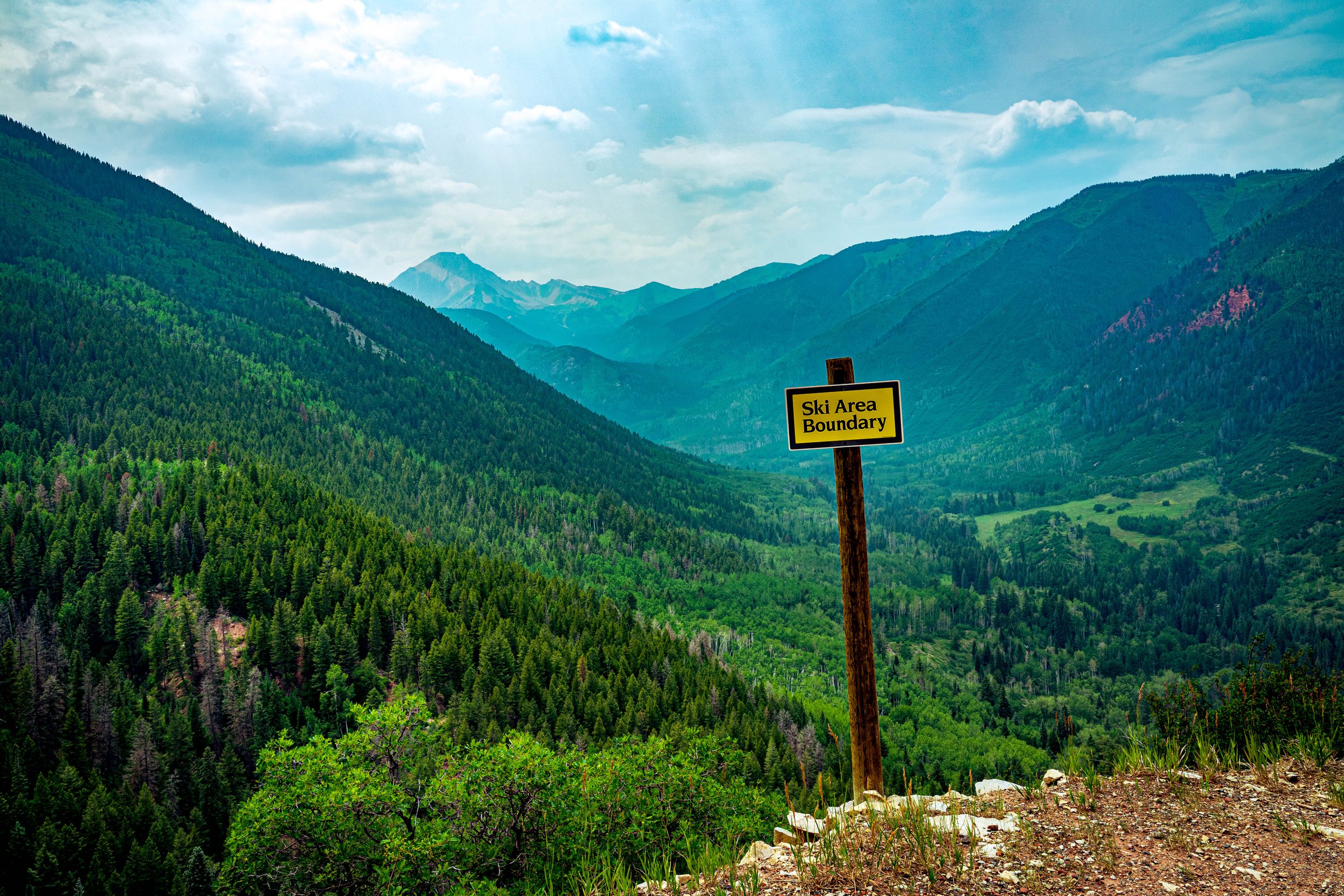
About Snowmass Trail
The West Snowmass Trail branches off the busier Maroon-Snowmass Trail southwest of Snowmass Village and climbs into the Maroon Bells-Snowmass Wilderness. After a crossing of Snowmass Creek, it works up through aspen and conifer forest and open meadows to West Snowmass Pass, a saddle between Haystack Mountain and Mount Daly.
The round trip to the pass is about 12.4 miles with more than 3,300 feet of gain, and it sees far less traffic than the famous routes on the Maroon Creek side of the wilderness. From the pass you get views southeast to the high Elk Mountains peaks and northwest toward Mount Sopris.
For photographers, that combination — aspen groves low, wildflower meadows high and few people — makes it a strong alternative to the crowds around Maroon Lake.
A 16.8-mile out-and-back near Snowmass rated difficult, with wildflowers along the way and moderate traffic from hikers and birdwatchers. Dogs are welcome on leash, best from May through September — a wide-angle lens with wildflowers filling the lower third of the frame works especially well through peak bloom.
History
The trail lies in the Maroon Bells-Snowmass Wilderness of the White River National Forest, one of the original wilderness areas protected when the Wilderness Act passed in 1964. Snowmass Creek drains this valley north toward the Roaring Fork, and the trail system here links over West Snowmass Pass to the Capitol Creek drainage, allowing longer loops for backpackers.
Photographing Snowmass Trail
Best light: Morning light works well on the climb and the pass, and you will want to be off the high ground before afternoon storms. Mid-July is prime wildflower time in the upper basin, while late September turns the lower aspen forest gold.
Shots to look for
- Mount Daly framed by meadow wildflowers in the basin below the pass, wide angle with a low foreground
- The view southeast from West Snowmass Pass across the Elk Mountains high peaks, with a short telephoto to stack the ridgelines
- Mount Sopris to the northwest from the pass at morning light
- Aspen trunks and fall foliage on the lower trail, shot with a longer lens to isolate patterns
- The Snowmass Creek crossing as a leading line with long exposure
Photo tips
- Bring water sandals for the Snowmass Creek crossing, which can be cold and swift into summer
- Trailhead parking is limited and fills on weekends; arrive early
- Deer and elk are often seen above treeline — pack a telephoto
- Backpackers must carry bear-resistant food canisters in the Maroon Bells-Snowmass Wilderness
- The descent off the far side of the pass is steep; most day hikers turn around at the saddle
Know before you go
- Bear canisters are required for backpackers in the Maroon Bells-Snowmass Wilderness — check current USFS rules
- The creek crossing can be knee deep in early summer
- Junctions above the creek can be poorly marked; carry a map or GPS
- Weather changes fast at 11,000+ feet; plan to be off the pass early
Frequently asked questions
How long is the hike to West Snowmass Pass?
About 12.4 miles round trip with roughly 3,380 feet of elevation gain from the Maroon-Snowmass Trailhead.
Is there a creek crossing?
Yes. The trail crosses Snowmass Creek, which can be knee deep and swift into early summer, so many hikers carry sandals.
Do you need a bear canister?
Backpackers are required to carry bear-resistant canisters in the Maroon Bells-Snowmass Wilderness. Check current Forest Service rules before your trip.
Featured in: Best Fall Color Spots in Colorado · Best Wildflower Hikes in Colorado
Combine it with
Capitol Creek Trail · Maroon Bells · Snowmass Village · Mount Sopris
More Colorado spots
Sources & further reading: hikingwalking.com · recreation.gov. Conditions, fees and rules change; check with the managing agency before you go.