Hope Pass
A brutal, beautiful Sawatch Range crossing and the high point of the Leadville Trail 100.
About Hope Pass
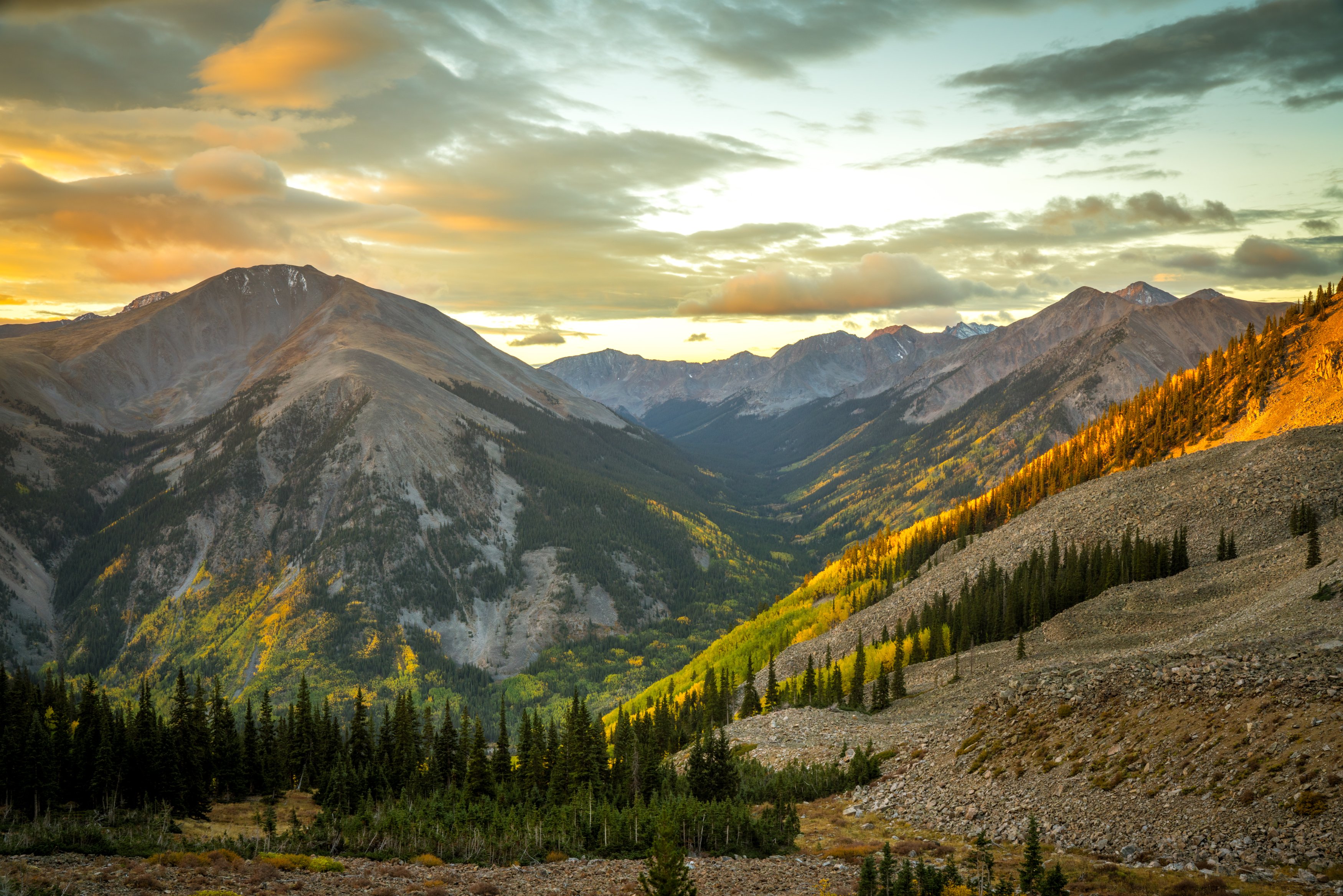
Hope Pass is a roughly 12,500-foot saddle between Mount Hope and Quail Mountain in the Sawatch Range, south of Twin Lakes. The most popular approach starts at the Willis Gulch Trailhead off CO 82 west of Twin Lakes Village: about 9 miles out and back with around 3,300 feet of gain, which makes it a stout day.
The trail crosses Lake Creek on a footbridge, climbs through forest past beaver ponds and old mining remnants, then breaks above treeline for big views of 13,000- and 14,000-foot peaks. From the south, you can also reach the pass from the Sheep Gulch area off Chaffee County Road 390 in the Clear Creek valley.
The route is part of the Collegiate Peaks West alignment used by Colorado Trail and Continental Divide Trail hikers, and it's most famous as the high point of the Leadville Trail 100 run.
A genuinely grueling climb above Twin Lakes, best known as the crux of the Leadville Trail 100 ultramarathon, topping out above 12,500 feet between Mount Hope and Quail Mountain. The reward for the climb is a view straight into the Collegiate Peaks that most casual visitors to the area never see — worth the effort specifically for a wide panorama shot that most Colorado fourteener images don't include.
History
Hope Pass is the signature climb of the Leadville Trail 100, crossed by runners on both the outbound and return legs. Near the pass, at roughly 11,800 feet, sits the race's highest aid station, for decades supplied by llamas packing water up the mountain, and more recently by pack burros and volunteers. The lower trail passes beaver ponds and remnants of the area's mining past, and on the south side, County Road 390 leads up the Clear Creek valley toward old mining-era sites.
Photographing Hope Pass
Best light: Start before dawn and aim to reach treeline in morning light; the pass is exposed and Sawatch afternoons are notorious for lightning. Late summer is green and lush, and mid to late September brings aspen color on the lower slopes.
Shots to look for
- From the pass, looking north down the valley toward Twin Lakes with a wide-to-normal lens
- The trail cutting across the tundra below the pass, with Mount Hope or Quail Mountain framing one side
- Beaver ponds near the bottom of the climb, reflecting the surrounding forest in still morning air
- Telephoto layers of the Sawatch peaks stacked to the south from the saddle
Photo tips
- Be off the pass by early afternoon in summer; there's no shelter up high
- Avoid the Leadville 100 weekend in August unless you're there to cheer
- The pass is often windy; bring a sturdy tripod or shoot handheld at fast shutter speeds
- Carry plenty of water; the climb is long and steep
Know before you go
- This is a strenuous high-altitude hike with about 3,300 feet of gain
- Lightning is a real hazard above treeline on summer afternoons
- The southern approach off County Road 390 can be hard to find; check a current map
- The trail is shared with Colorado Trail and CDT thru-hikers in summer
Prints from Hope Pass
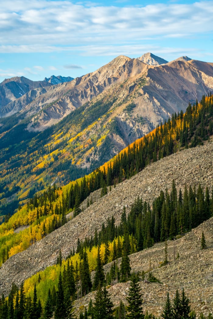
Every photo is available as a print on metal, canvas, wood or fine art paper.


Frequently asked questions
How hard is the Hope Pass hike?
It's difficult: roughly 9 miles round trip from Willis Gulch with about 3,300 feet of climbing to a pass near 12,500 feet.
Is Hope Pass part of the Leadville 100?
Yes. Hope Pass is the high point of the Leadville Trail 100 run, and runners cross it twice.
Combine it with
Twin Lakes · Independence Pass · Leadville · Turquoise Lake Trail
More Colorado spots
Sources & further reading: leadvilletwinlakes.com · summitpost.org · coloradocentralmagazine.com. Conditions, fees and rules change; check with the managing agency before you go.