Pinecliffe
A tiny railroad-canyon hamlet on South Boulder Creek where freight and Zephyr trains thread the pines.
About Pinecliffe
Pinecliffe is a small unincorporated community at about 8,000 feet, straddling the line between Boulder and Gilpin counties where CO 72 crosses the railroad tracks and South Boulder Creek. It's a short drive west of Coal Creek Canyon and a quiet alternative to the busier canyons near Boulder.
The defining feature is the railroad: the old Moffat Road, now operated by Union Pacific, winds through the canyon here on its way to the Moffat Tunnel. Trains, granite cliffs, ponderosa forest and the creek make it a natural spot for railroad and canyon photography.
There's not much commercial activity, which is the charm. You're mostly working from public roads and pullouts, so plan your angles around the tracks and the creek and be patient for a train.
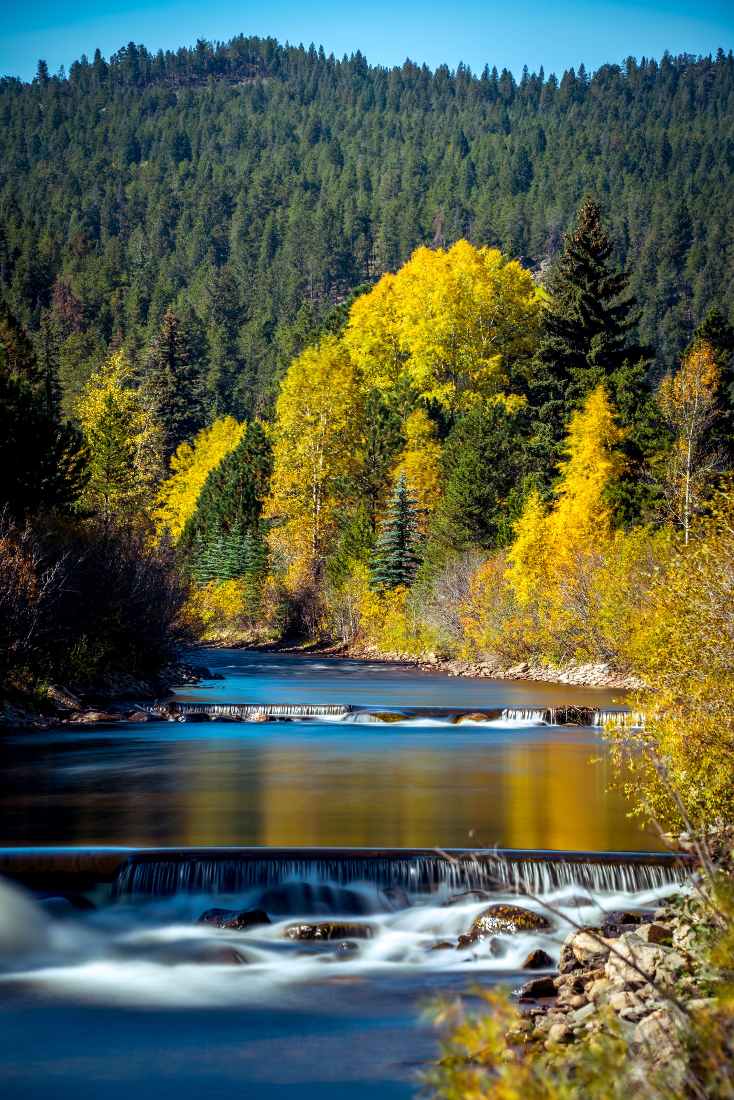
A small unincorporated community along the South Boulder Creek corridor in the foothills west of Boulder, with aspens along the creek that turn earlier than most higher-elevation groves nearby. The creek itself stays accessible and shootable well into fall, giving you a genuine moving-water foreground against turning color without the crowds of better-known aspen destinations.
History
Pinecliffe owes its existence to David Moffat's Denver, Northwestern & Pacific Railway. Construction and train crews were based in the valley, and the area was first known as "Gato." In 1905 the Pinecliffe Summer Resort and Assembly Grounds of the Christian Church was founded, holding two-week summer assemblies on Bible study, nature and social topics.
The South Pinecliffe subdivision on the Gilpin side was platted in the 1910s, and nearby Lincoln Hills became a resort community for Black Coloradans in the 1920s, also served by the railroad. Educator Emily Griffith, founder of Denver's Opportunity School, retired to Pinecliffe in 1934.
Photographing Pinecliffe
Best light: The canyon is narrow and steep, so the floor gets sun late in the morning and loses it early; overcast days and the hour after sunrise are kind to the granite and water. Snowy winter days, with trains running through fresh powder, are a highlight.
Shots to look for
- Trains curving through the canyon with granite walls and pines, telephoto from a safe, legal spot well off the tracks
- South Boulder Creek cascades with a slow shutter and ponderosa framing
- Winter snow on the cliffs and tracks after a storm
- Historic cabins and resort-era buildings along CO 72 in soft light
Photo tips
- Never stand on or near the tracks; railroad property is private and trespassing is illegal and dangerous
- Train schedules vary; listen for horns and be ready, or plan to wait
- Most land is private; shoot from public roads and pullouts
- CO 72 is curvy with limited shoulders; pull completely off the road
Know before you go
- Pinecliffe has very few services; bring what you need
- Railroad property and the tracks are off-limits
- CO 72 can be icy in winter; check conditions before driving up from Coal Creek Canyon
Prints from Pinecliffe
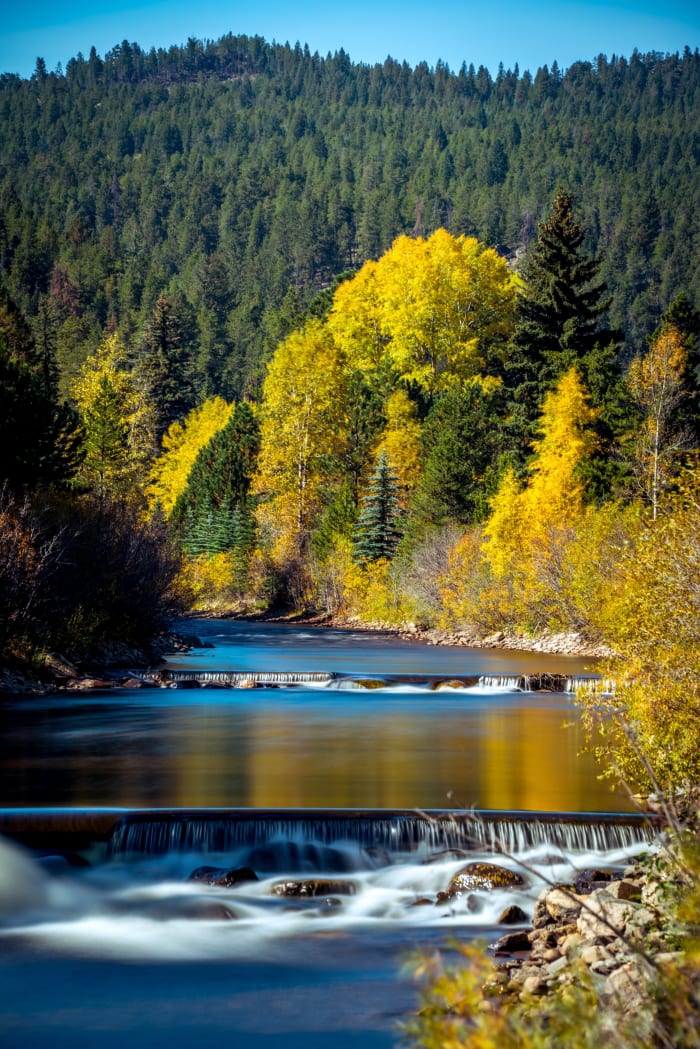
Every photo is available as a print on metal, canvas, wood or fine art paper.

Frequently asked questions
Where is Pinecliffe, Colorado?
Pinecliffe sits where CO 72 crosses South Boulder Creek and the railroad, on the Boulder and Gilpin county line west of Coal Creek Canyon.
Why is Pinecliffe known for trains?
The town grew around David Moffat's railroad, and the line, now run by Union Pacific, still winds through the canyon on its way to the Moffat Tunnel.
Combine it with
Rollinsville · Crater Lakes · Coal Creek Canyon · Nederland
More Colorado spots
Sources & further reading: en.wikipedia.org · gilpincounty.colorado.gov. Conditions, fees and rules change; check with the managing agency before you go.