Chief Mountain
A short, high-starting summit hike with a 360-degree Front Range panorama from Longs to Pikes.
About Chief Mountain
Chief Mountain is an 11,709-foot summit in Clear Creek County, reached from CO 103 (Squaw Pass Road) between Idaho Springs and Bergen Park near the Echo Mountain ski area. Because the trailhead is already high, you get a big-mountain view for a modest effort: about 4 miles round trip and roughly 1,000 feet of gain.
The trail climbs through thick spruce-fir forest that thins near treeline, where gnarled bristlecone pines cling to the slope. A short scramble of about 30 feet tops out on a rocky summit with Mount Blue Sky (formerly Mount Evans) looming to the west, neighboring Mestaa'ehehe Mountain to the east, and a sweep of the Front Range from Longs Peak to Pikes Peak.
It's one of the best effort-to-view ratios near Denver, and a favorite sunrise hike.
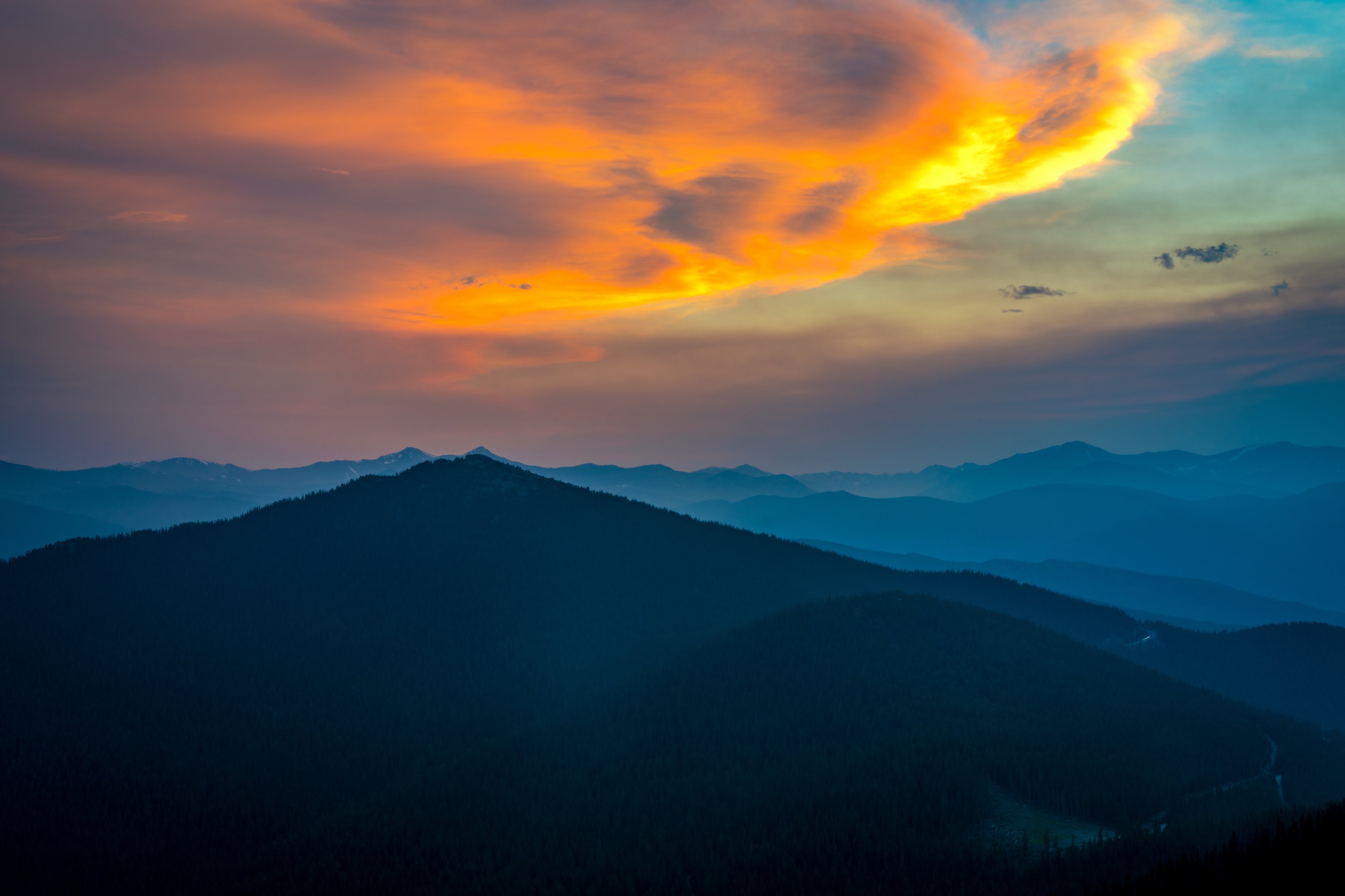
A distinctive peak visible from the Evergreen/Squaw Pass area southwest of Denver, popular enough as a short, moderate hike that it draws a steady stream of Front Range day-trippers year-round. Its isolated shape stands out cleanly against a sunset sky, making it a strong single-subject silhouette shot without needing to include any surrounding ridgeline for context.
History
Chief Mountain rises along the old Squaw Pass Road corridor in the Arapaho National Forest. Its neighbor, formerly called Squaw Mountain, has been renamed Mestaa'ehehe Mountain, and its historic fire lookout can be rented. Near treeline the trail passes gnarled bristlecone pines, sculpted by the wind and cold of this exposed ridge, and the summit rocks look across to Mount Blue Sky, renamed from Mount Evans in 2023.
Photographing Chief Mountain
Best light: Sunrise is the classic: the summit looks east over the plains for the sunrise itself while alpenglow hits Mount Blue Sky to the west. Early summer, with snow still on the high peaks, makes for the most dramatic panoramas.
Shots to look for
- Mount Blue Sky in alpenglow from the summit with a 70-200mm
- Gnarled bristlecone pines near treeline as foreground against the distant peaks, 16-24mm
- Sunrise over the plains and Denver's distant lights looking east
- A multi-frame panorama of the Front Range from Longs Peak to Pikes Peak
Photo tips
- Bring a headlamp for a sunrise start; the trail is well built and easy to follow
- The summit is exposed and windy; layer up and bring a sturdy tripod
- Stay on trail near the top to protect fragile tundra
- Take the right side for the easiest final scramble
Know before you go
- Park in the paved pullout above Echo Mountain and cross CO 103 to the signed trailhead
- A trail sign along the way overstates the remaining distance; don't be discouraged
- The final 30 feet is an easy scramble over rock
- Afternoon storms are common in summer; be off the summit early
Prints from Chief Mountain
Every photo is available as a print on metal, canvas, wood or fine art paper.


Frequently asked questions
How long is the Chief Mountain hike?
About 4 miles round trip with roughly 1,000 feet of gain.
Is Chief Mountain good for sunrise?
Yes. The summit has open views east over the plains and west to Mount Blue Sky, which catches alpenglow.
Are dogs allowed on Chief Mountain?
Yes, on leash.
Featured in: Best Sunrise Photography Spots in Colorado
Combine it with
Mestaa'Ėhehe Mountain Fire Lookout · Mt Evans · Evergreen · Floyd Hill
More Colorado spots
Sources & further reading: 5280.com · hikingincolorado.org. Conditions, fees and rules change; check with the managing agency before you go.