Great Sand Dunes
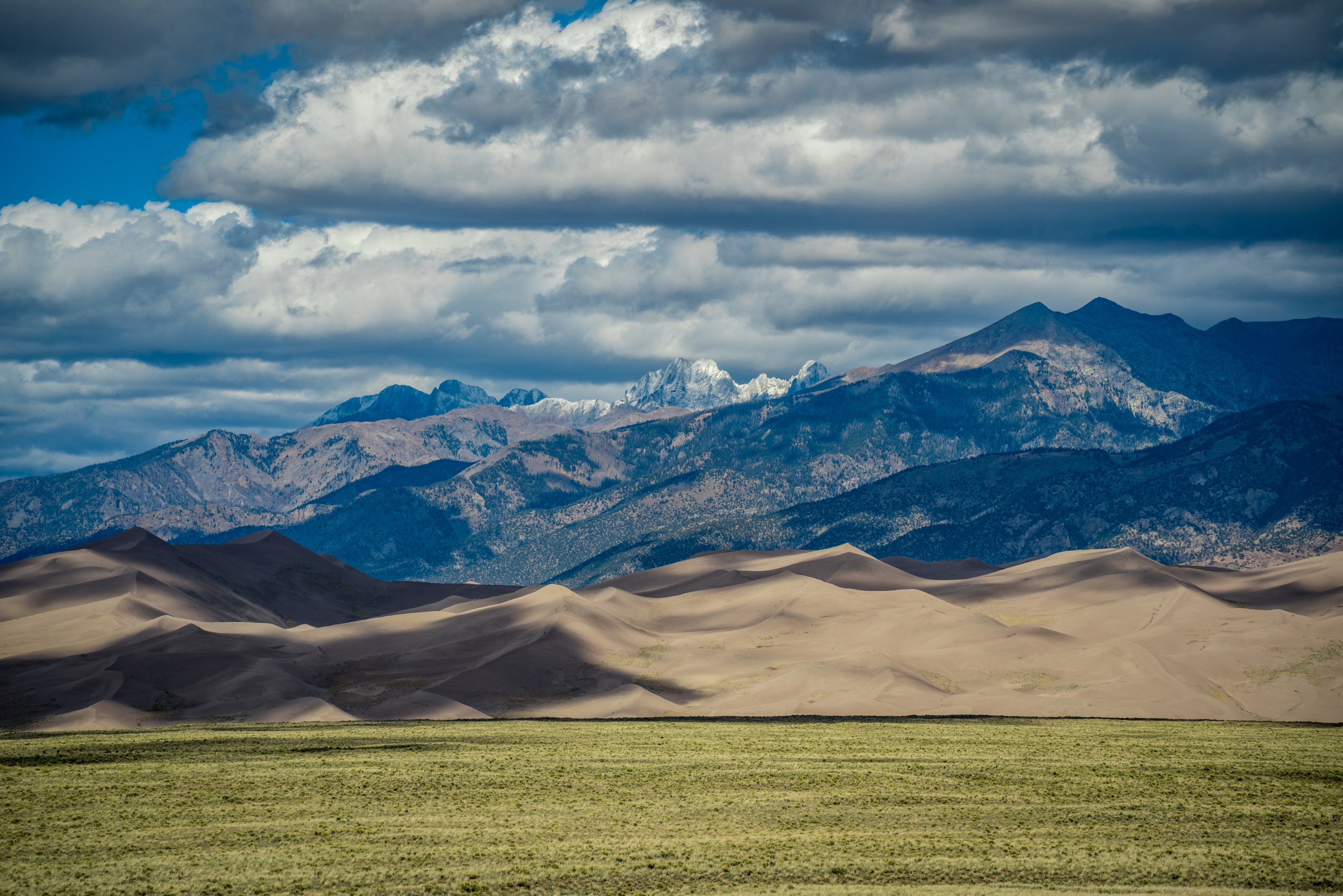
North America's tallest dunes, stacked against the Sangre de Cristos in the San Luis Valley.
About Great Sand Dunes
Great Sand Dunes National Park and Preserve sits in Colorado's San Luis Valley, spread across Alamosa and Saguache counties about 30 road miles northeast of Alamosa. A field of sand covering roughly 30 square miles piles up against the western foot of the Sangre de Cristo Range, and the tallest dunes rise more than 700 feet from base to crest.
There are no marked trails on the dunefield itself. You simply cross the Medano Creek bed from the Dunes Parking Area and pick a ridge. High Dune on the first ridge is the classic objective; Star Dune, the tallest in the park, is a much longer, unmarked slog to the south.
For photographers it is one of the most varied places in the state: wind-sculpted ridgelines and ripples, a seasonal creek that can mirror the dunes in late spring, snowcapped 13,000-foot peaks behind, and some of the darkest night skies you can reach in a day's drive from the Front Range.
The tallest dunes in North America, open 24/7 with no reservations required, set against a genuinely unusual mix of grasslands, wetlands, forests, and alpine tundra all within the same park boundary. It's one of the more surreal landscapes in the state — sand dunes with fourteeners visible in the background is not a combination you find many other places, and raking side light at sunrise or sunset is essential here since flat midday sun erases the dune ridgelines almost entirely.
History
People have used this valley for roughly 11,000 years. The Southern Ute are among the first historic inhabitants, and the Ute name for the dunes translates to sand that moves; the Jicarilla Apache name means it goes up and down. Blanca Peak, just south, is one of the four sacred mountains of the Navajo.
President Herbert Hoover proclaimed Great Sand Dunes National Monument on March 17, 1932. Congress authorized a national park and preserve in 2000, and the designation became official on September 24, 2004. The combined park and preserve now covers about 149,000 acres, from the valley floor up to the crest of the Sangre de Cristos.
Photographing Great Sand Dunes
Best light: Sunrise and sunset are when the dunes come alive, with low side light carving every ridge into light and shadow; midday flattens everything. Late May to early June is the window for Medano Creek, which can reflect the dunes, and winter brings snow-dusted dunes under white peaks. Late summer and fall are best for the Milky Way.
Shots to look for
- Long telephoto (100-400mm) compressions of overlapping dune ridges from the first ridgeline at sunrise, picking out the knife-edge crests and the shadows between them.
- Medano Creek in late spring from the creek bed near the Dunes Parking Area, using the wet sand or water as a reflection of the dunefield and the Sangre de Cristos behind.
- Wide-angle ripple foregrounds on a ridge top at golden hour, with a low camera angle leading toward distant dunes or the peaks.
- Hikers as scale on a distant crest from below, shot with a telephoto to show just how big the dunes are.
- Night sky over the dunes on a moonless night, with the dune silhouettes as the horizon line.
Photo tips
- Start before dawn: walking on sand is slow, and reaching a good ridge by first light takes longer than you expect. Stick to ridge tops for the firmest footing.
- Protect your gear from blowing sand: change lenses inside a bag or the car, and bring a rocket blower and lens cloths. Afternoon wind is common, especially in spring.
- Sand surfaces can hit about 150 F on summer afternoons, and summer thunderstorms bring lightning, so plan summer shoots for early morning and evening.
- Leave footprints out of your frame by walking along the downwind side of a ridge or behind your composition, not through it.
- Check the park's Medano Creek updates before planning a creek shoot; in low-snow years the water may not reach the main parking area at all.
Know before you go
- There are no timed-entry reservations or visitor limits, but late-May and early-June weekends can bring long entrance lines and full lots.
- Pets are allowed on the dunes only up to the first high ridge.
- The park sits around 7,700 feet and dune climbing is strenuous; the NPS suggests allowing extra time if you are not acclimated.
- Sand wheelchairs can be borrowed from the visitor center by reservation.
- Wear closed shoes and long pants; sandals and bare feet are a bad idea on hot sand.
Prints from Great Sand Dunes
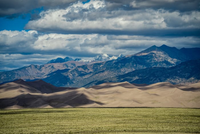
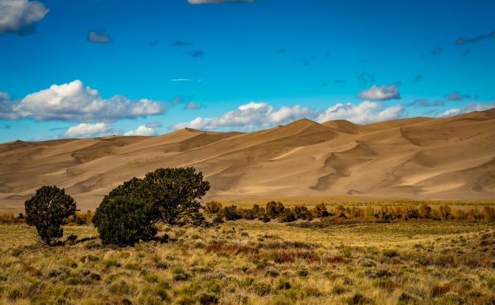
Every photo is available as a print on metal, canvas, wood or fine art paper.


Frequently asked questions
Do you need a reservation to visit Great Sand Dunes?
No. The park has no timed entry, advance reservations or visitor limits; you just pay the entrance fee or show a valid pass.
How long does it take to hike High Dune?
The NPS puts the round trip at about 2 hours, or up to 4 if you're not used to the altitude. There's no trail; you cross the creek bed and zigzag up the ridges.
When does Medano Creek flow?
In a typical year the creek runs past the main dunes area from about late April through June and peaks in late May or early June. Low-snow years can be much shorter, so check the park's updates.
Featured in: Night Sky and Storm Photography in Colorado
Combine it with
Zapata Falls · Medano Pass Road · Alamosa National Wildlife Refuge · Crestone
More Colorado spots
Sources & further reading: en.wikipedia.org · nps.gov · nps.gov · nps.gov. Conditions, fees and rules change; check with the managing agency before you go.