← All themes · All hikes and spots
Night Sky and Storm Photography in Colorado
Get away from the Front Range lights and Colorado's skies come alive. The eastern plains are also where summer storms build into towering supercells. These spots are my favorites for the Milky Way, dark skies and storm chasing.
Tip: The Milky Way core is visible from roughly April to September; aim for new-moon weeks. See Best Nights for Stars for the next good window, and never chase storms without an escape route.
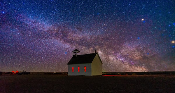
1.Abbott Church
A lone white homestead-era church on the open plains east of Denver, made for sunsets and stars.
Built: 1913 · County: Washington · Nearest town: Lindon
Best light: Sunset and the first hour after dark are the best windows: the white siding takes on the color of the sky, then the open horizon gives you a clean Milky Way backdrop on moonless summer nights. Late spring and summer bring towering storm clouds and green or golden wheat around the church.
Full guide →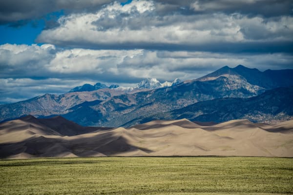
2.Great Sand Dunes
North America's tallest dunes, stacked against the Sangre de Cristos in the San Luis Valley.
Tallest dune: Star Dune, about 741 ft from base to summit · High Dune: About 692 ft base to top; roughly 2 hours round trip · Dunefield elevation: About 7,700 ft
Best light: Sunrise and sunset are when the dunes come alive, with low side light carving every ridge into light and shadow; midday flattens everything. Late May to early June is the window for Medano Creek, which can reflect the dunes, and winter brings snow-dusted dunes under white peaks. Late summer and fall are best for the Milky Way.
Full guide →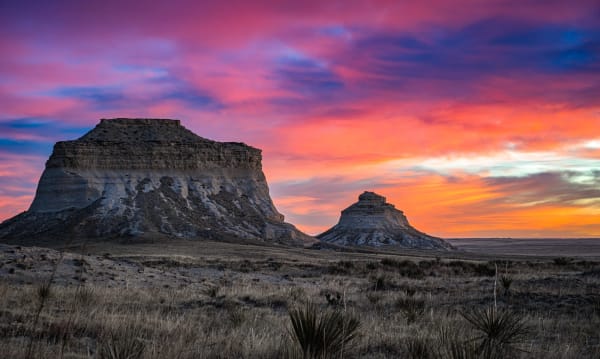
3.Pawnee Buttes
Twin sandstone buttes rising 300 feet above the shortgrass prairie in Colorado's far northeast corner.
Distance: About 4.4 mi round trip · Elevation gain: About 320 ft · Butte height: About 300 ft above the prairie
Best light: Sunrise and sunset are both strong because nothing blocks the horizon: the buttes glow warm against the sky at either end of the day. Late spring brings green grass and wildflowers, and summer afternoons can deliver dramatic thunderstorms building over the plains.
Full guide →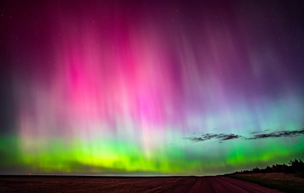
4.Sterling (storm/plains)
Northeast Colorado's high-plains hub, where supercells tower over endless wheat fields and open horizons.
Elevation: 3,931 ft · County: Logan (county seat) · Distance from Denver: About 128 mi via I-76
Best light: Storm season peaks from late spring into summer, with storms typically developing in the afternoon and evening. The best storm light often comes near sunset when the sun shines under the anvil from the west. Clear winter nights offer dark skies for astrophotography.
Full guide →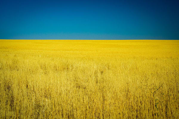
5.Eastern Plains (general)
Colorado's wide-open other half: grasslands, buttes, grain elevators and summer supercells.
Elevation: From about 3,400 ft at the Kansas line upward toward the Front Range · Major rivers: South Platte and Arkansas · Public lands: Pawnee and Comanche National Grasslands (USFS)
Best light: Late afternoon and evening from May through August is prime for supercells, mammatus clouds and lightning, with storms often glowing at sunset as they drift east. Winter brings stark snow-covered fields and clear, dark skies for night work.
Full guide →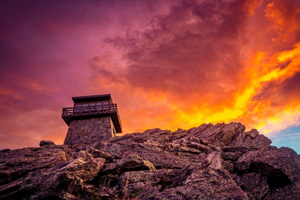
6.Mestaa'Ėhehe Mountain Fire Lookout
Sleep in a CCC-built stone lookout above 11,000 feet, with Denver's lights on one side and Mount Blue Sky on the other.
Summit elevation: 11,486 ft · Walk in: About 1 mi from the summer gate; about 2 mi in winter · Capacity: 4 guests
Best light: Stay the night and shoot both ends of the day: sunset paints the Mount Blue Sky massif and the Divide to the west, while sunrise comes up over the plains to the east. Clear winter nights give the crispest views of the Denver city glow.
Full guide →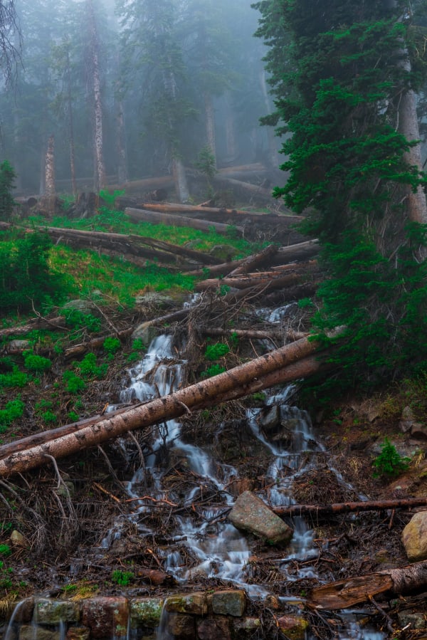
7.Trail Ridge Road, RMNP
The highest continuous paved road in North America, crossing Rocky Mountain National Park's alpine tundra.
Length: 48 mi, Estes Park to Grand Lake · High point: 12,183 ft · Above treeline: About 11 mi
Best light: Sunrise from the east-side pullouts lights the peaks of the Mummy Range and the Continental Divide, while sunset paints the tundra in long warm light. June brings lingering snow walls, July brings tundra wildflowers, and September brings elk rut and aspen color in the lower valleys.
Full guide →
More Colorado guides
Best Fall Color Spots in Colorado · Best Sunrise Photography Spots in Colorado · Easy Colorado Hikes With Big Views · Winter Photography Spots in Colorado · Best Alpine Lake Hikes in Colorado · Colorado 14ers: Hiking and Photography Guide · Photography Spots Near Denver · Best Wildflower Hikes in Colorado · Colorado Waterfall Hikes · Where to Photograph Wildlife in Colorado