Hells Hole
An aspen-lined climb up West Chicago Creek to a willow meadow beneath Gray Wolf Mountain.
About Hells Hole
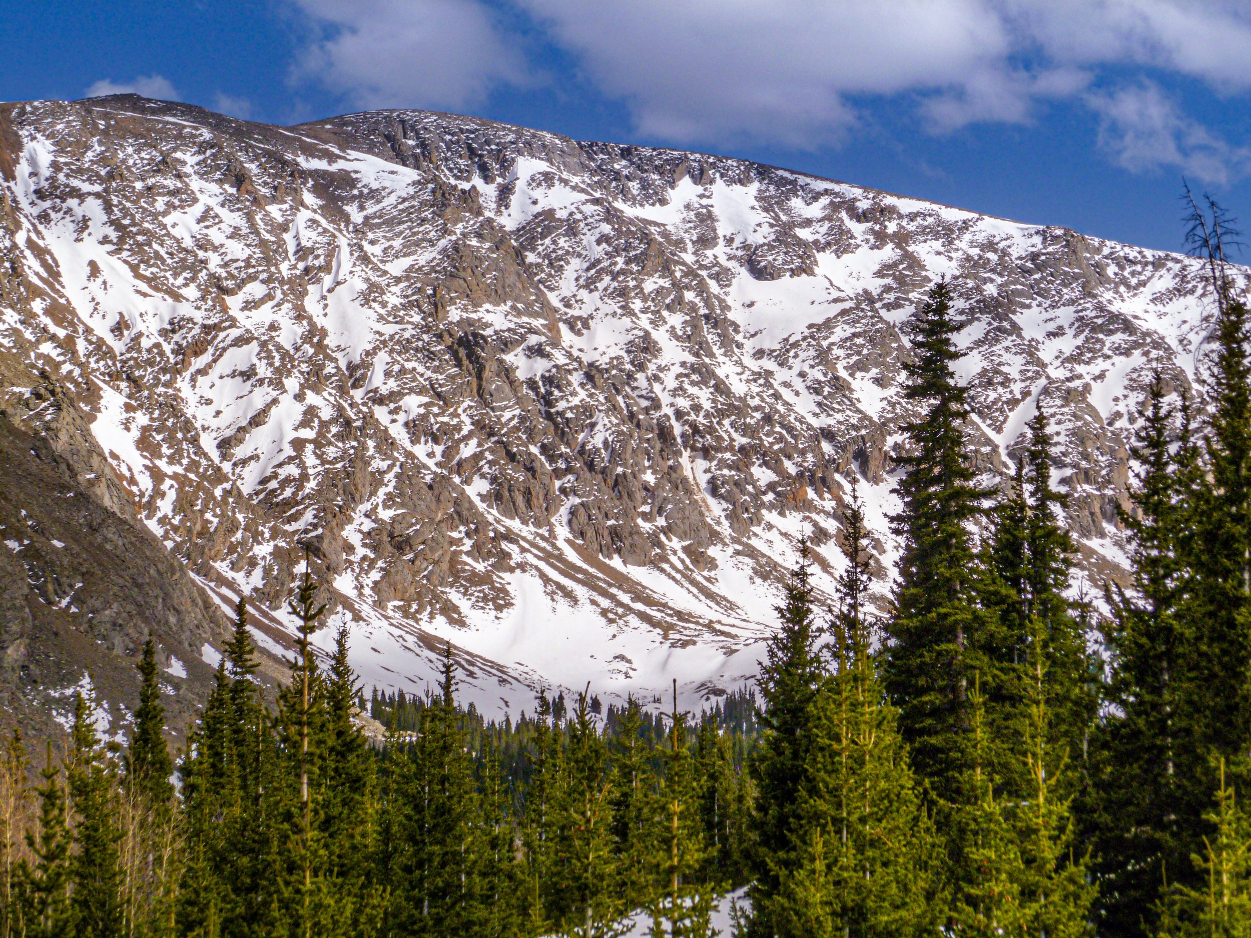
Hell's Hole is a quiet alpine basin south of Idaho Springs, reached by the Hells Hole Trail from West Chicago Creek Campground. The trail climbs through big aspen groves and conifer forest along West Chicago Creek, then enters the wilderness around Mount Blue Sky, ending in a glacial cirque of meadows and willows at the foot of Gray Wolf Mountain.
The round trip is about 8 miles with roughly 1,900 feet of gain, topping out around 11,500 feet near timberline. Despite being less than an hour from Denver, it sees far fewer hikers than nearby Chicago Lakes or Echo Lake.
For photographers, it is especially good in fall, when the aspen groves on the lower trail turn gold, and in summer, when wildflowers fill the upper meadow beneath the rugged walls of Gray Wolf.
Running 8 miles round trip near Idaho Springs, this moderately rated trail follows a river and stays open from March through October. Dogs are welcome on leash, and the basin at the end sits below a genuinely dramatic headwall that's worth the extra effort to frame properly.
History
The trail climbs into the wilderness area surrounding Mount Blue Sky, designated as the Mount Evans Wilderness; after the peak was renamed in 2023, Colorado's congressional delegation introduced legislation to rename the wilderness as well. The basin itself is a glacial cirque, and at the top of the trail you will find hardy bristlecone pines and alpine willows near the timberline.
Photographing Hells Hole
Best light: Late September is the standout window, when the lower aspen groves turn gold. In July and early August the upper meadow fills with wildflowers; morning light on Gray Wolf Mountain's face is the best time to work the basin before afternoon storms build.
Shots to look for
- Gray Wolf Mountain rising over the willow meadow at the end of the trail, with wildflowers or willows as foreground
- Long rows of aspen trunks in fall, shot with a telephoto to stack patterns
- West Chicago Creek cascading through the forest with a slow shutter
- Gnarled bristlecone pines near timberline against the cirque walls
Photo tips
- West Chicago Creek Road closes seasonally — check before you go
- Fill out the free self-issuing wilderness permit at the trailhead
- Bring a polarizer for aspen leaves; it deepens the color and cuts glare
- Afternoon storms often form over the high peaks in summer; plan an early start
Know before you go
- A free self-issued wilderness permit is required; parking pass requirements can change — check with the Clear Creek Ranger District
- The access road to the trailhead is subject to seasonal closures
- Wilderness regulations apply; check current rules with the Forest Service
- Weather changes rapidly near timberline; pack layers
Frequently asked questions
How long is the Hells Hole trail?
About 8 miles round trip with roughly 1,900 feet of elevation gain, ending near 11,500 feet.
Where does the Hells Hole trail start?
At West Chicago Creek Campground, about 6.5 miles south of Idaho Springs on CO-103 and then about 3 miles up West Chicago Creek Road.
Do you need a permit for Hells Hole?
A free self-issued wilderness permit is required at the trailhead. Check current parking-pass rules with the Forest Service.
Featured in: Best Wildflower Hikes in Colorado
Combine it with
Echo Lake · Chicago Lakes · Idaho Springs · Mt Evans
More Colorado spots
Sources & further reading: cmc.org · 10adventures.com · hickenlooper.senate.gov. Conditions, fees and rules change; check with the managing agency before you go.