Huron Peak
A Sawatch 14er with one of the finest summit views in Colorado — straight down onto the Three Apostles.
About Huron Peak
Huron Peak rises just over 14,000 feet in the Collegiate Peaks Wilderness of Chaffee County, between Leadville and Buena Vista. It is reached via Clear Creek Road (County Road 390) off US 24, a long dirt road past Clear Creek Reservoir to the ghost town of Winfield.
From the upper 4WD trailhead, the standard northwest slopes route is about 6.5 miles round trip with roughly 3,500 feet of gain; starting from the 2WD parking near Winfield adds a few miles of road walking. The trail climbs through forest into a broad basin before switchbacking up to the summit ridge.
It is one of the lower 14ers, but the summit view is one of the best in the state. Directly south, the Three Apostles — Ice Mountain flanked by North and West Apostle — rise from Apostle Basin in a perfect three-peak composition.
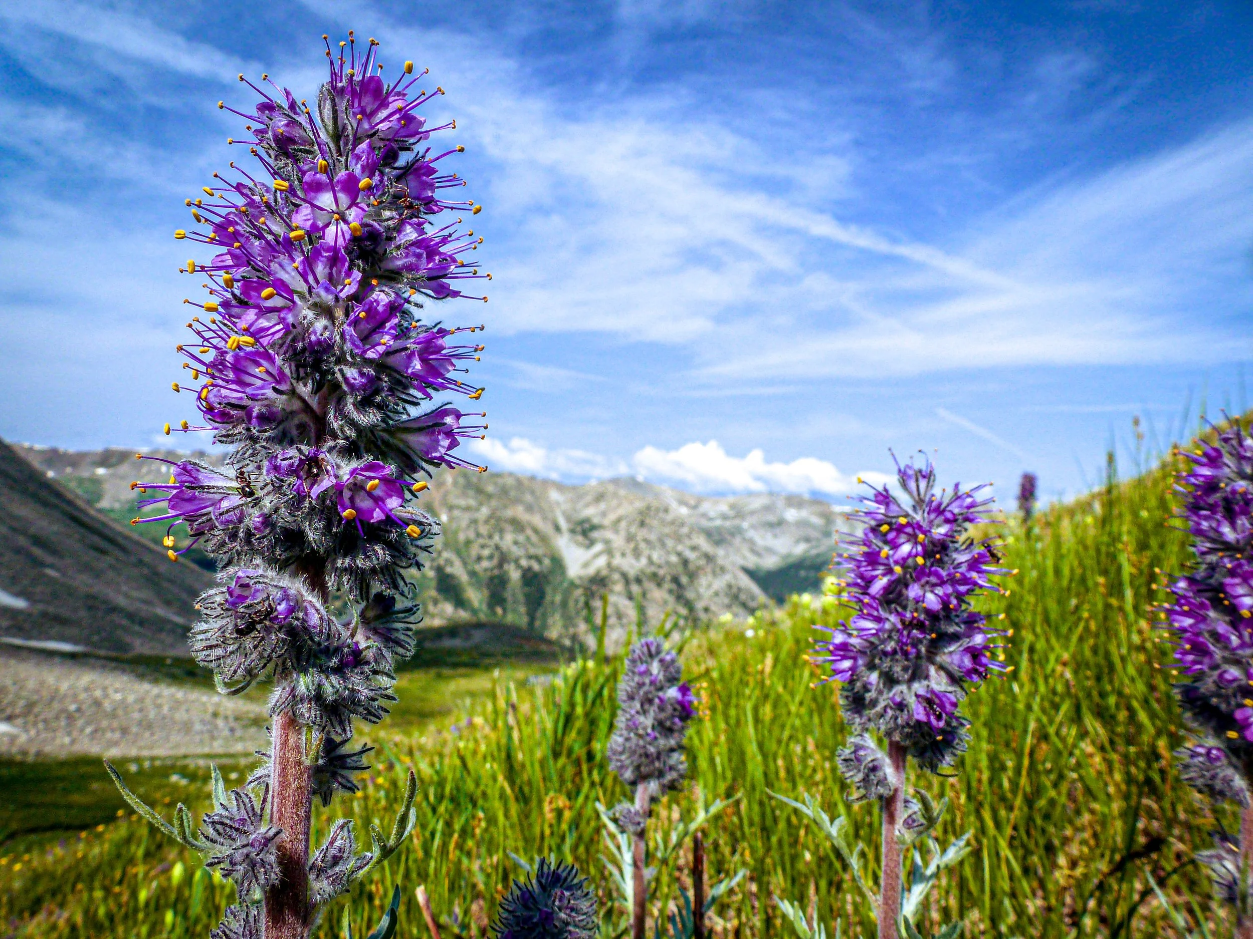
A 6.6-mile out-and-back via the North Huron Trail near Buena Vista, rated difficult with wildflowers lining much of the route. Best May through September, dogs welcome on leash — the summit view over the Three Apostles and the Collegiate Peaks is one of the better fourteener panoramas for a wide stitched shot.
History
The peak is named for the Huron people, also known as the Wendat. Winfield, at the end of the road, began as a silver camp in the 1880s and survives today as a ghost town with restored cabins, a schoolhouse and a small cemetery.
Huron sits in the Collegiate Peaks, the part of the Sawatch Range whose summits are named for universities, and is protected within the Collegiate Peaks Wilderness of the San Isabel National Forest.
Photographing Huron Peak
Best light: A sunrise or early morning summit puts warm side light on the Three Apostles to the south and the rest of the Sawatch around you. Late September brings gold aspens along Clear Creek Road and around Winfield, making the drive part of the shoot.
Shots to look for
- The Three Apostles from the summit, a short telephoto (70-135mm) to frame Ice Mountain between North and West Apostle
- Wildflowers in the upper basin with Huron's summit ridge above, wide angle
- Clear Creek Reservoir and the fall aspens along CR 390 on the drive in
- Winfield's restored cabins with surrounding peaks at golden hour
- Panoramas north and east across the Sawatch, including other 14ers
Photo tips
- Clear Creek Road is passable for most cars when dry, but the final spur to the upper trailhead needs high-clearance 4WD
- There is no cell service at the trailheads or on the mountain
- Start early — thunderstorms often build over the Sawatch by midday
- Respect private property and historic structures in Winfield
Know before you go
- The 2WD route adds about 4 miles of road walking
- Clear Creek Road is dusty and washboarded; drive slowly
- Bring layers and plenty of water; the summit is exposed
- Wilderness regulations apply in the Collegiate Peaks Wilderness
Frequently asked questions
How long is the Huron Peak hike?
About 6.5 miles round trip with roughly 3,500 feet of gain from the upper 4WD trailhead, or about 10.5 miles from the 2WD parking near Winfield.
Do you need 4WD to hike Huron Peak?
No, but a high-clearance 4WD vehicle lets you reach the upper trailhead. Passenger cars can usually reach Winfield when the road is dry.
What is the view from Huron Peak?
The highlight is the Three Apostles to the south, plus a wide panorama of the Sawatch Range.
Featured in: Colorado 14ers: Hiking and Photography Guide
Combine it with
Winfield · Clear Creek Reservoir · La Plata Peak · Twin Lakes
More Colorado spots
Sources & further reading: en.wikipedia.org · coloradounited.com. Conditions, fees and rules change; check with the managing agency before you go.