Longs Peak
Rocky Mountain National Park's only fourteener, with the sheer Diamond face and a serious Class 3 Keyhole Route.
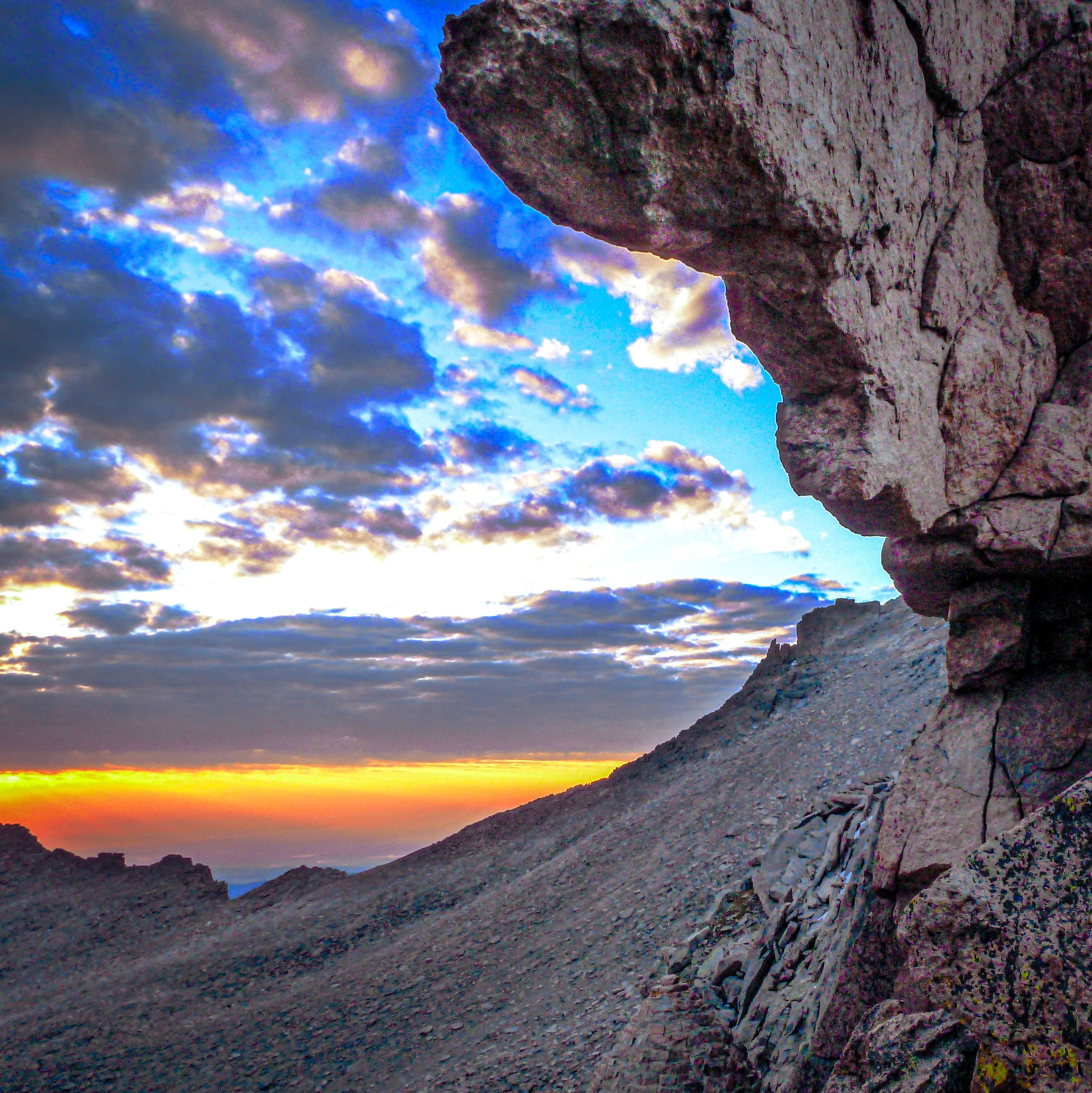
About Longs Peak
At 14,259 feet, Longs Peak is the highest point in Rocky Mountain National Park and Boulder County. It's also the northernmost fourteener in the Rockies. Its flat-topped profile and the sheer east face known as the Diamond are visible from much of the northern Front Range.
The standard Keyhole Route starts at the Longs Peak Trailhead at 9,400 feet and covers about 14.5 miles round trip with roughly 5,100 feet of gain. It's rated Class 3. The National Park Service stresses that this is not a hike. Past the Boulder Field and the Keyhole, you cross the exposed Ledges and Narrows, climb the loose Trough and finish on the steep Homestretch slabs. An unroped fall there could be fatal.
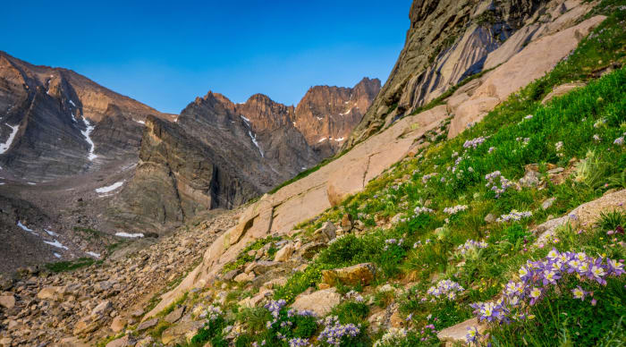
If you're a photographer who isn't set on summiting, the trail to Chasm Lake below the Diamond is one of the finest alpine destinations in the park.
A 14.8-mile out-and-back near Allenspark and one of the more demanding day hikes in the state, rated challenging and popular enough that you'll rarely have it to yourself. It's open year-round but best April through November, and dogs aren't allowed on the trail — the Diamond, the peak's sheer east face, is one of the most recognizable formations in the park and worth a dedicated shot from Chasm Lake if the full summit push isn't in the cards.
History
The Arapaho called Longs and its neighbor Mount Meeker the "Two Guides," because the paired summits served as landmarks across the plains. The peak's English name honors explorer Stephen H. Long, whose 1820 expedition is credited with sighting the Front Range.
John Wesley Powell's survey party made the first recorded ascent on August 23, 1868. The 1,000-foot Diamond was closed to climbing by the Park Service in 1954. It was first climbed in 1960 by Dave Rearick and Bob Kamps and remains a landmark of American big-wall climbing. Mills Glacier, the peak's last remaining glacier, sits above Chasm Lake at the base of the east face.
Photographing Longs Peak
Best light: The Diamond faces east and turns brilliant orange at sunrise. Being at Chasm Lake or on the Chasm Lake trail at first light is the signature shot. The Keyhole Route is usually climbed in summer, but conditions can be wintry at any time of year. From the valleys, sunset light falls on the peak's west and south sides.
Shots to look for
- From Chasm Lake's shore, shoot the Diamond in alpenglow with a 16-35mm, including the lake and the rocks along its edge.
- From the Boulder Field, frame the Keyhole notch with its stone shelter in the foreground.
- Make a long-lens shot of climbers on the Narrows or Homestretch, small against the vast granite.
- From Highway 7 or the Peak to Peak area, use a telephoto to photograph the peak above autumn aspens.
- At night, photograph the Milky Way over the Diamond from the Chasm Lake area. Plan for a dark, cold pre-dawn approach.
Photo tips
- Start very early. Summer afternoon thunderstorms and lightning are a major hazard above treeline.
- Check the park's Longs Peak conditions report before going. Ice and snow can make the Keyhole Route technical even in summer.
- Timed entry runs seasonally. In 2026 it was required 9 a.m. to 2 p.m. from late May to mid-October, so pre-dawn starters typically arrive before it applies. Confirm current rules on Recreation.gov.
- Boulder Field camping requires a reservation, and you can't car-camp in the trailhead lot.
- The trailhead lot fills well before dawn on summer weekends.
Know before you go
- The Keyhole Route is a serious Class 3 climb with exposure and rockfall. The NPS says an unroped fall would likely be fatal, and about two people die on the peak each year on average.
- Dogs are not allowed on Longs Peak.
- The park's timed-entry reservation system applies during posted hours in the summer season. Check NPS and Recreation.gov for current dates and times.
- Boulder Field tent sites are reservation-only, and wilderness permits apply to overnight trips.
Prints from Longs Peak
Every photo is available as a print on metal, canvas, wood or fine art paper.

Frequently asked questions
How long is the Longs Peak hike?
The Keyhole Route is about 14.5 miles round trip, with roughly 5,100 feet of gain. Most parties start in the middle of the night to finish before storms.
Do you need a reservation to hike Longs Peak?
The park's timed-entry system covers the Longs Peak area during posted daytime hours in summer, and Boulder Field camping requires a permit. Check current rules with the NPS before you go.
Is Longs Peak dangerous?
Yes. It's a Class 3 climb with exposed ledges, loose rock and frequent lightning. The National Park Service estimates about two deaths per year.
Featured in: Colorado 14ers: Hiking and Photography Guide
Combine it with
Emerald Lake · Chasm Lake · Estes Park · Rainbow Lakes
More Colorado spots
Sources & further reading: nps.gov · 14ers.com · en.wikipedia.org · home.nps.gov. Conditions, fees and rules change; check with the managing agency before you go.