La Plata Peak
Colorado's fifth-highest summit, a Sawatch giant above the road to Independence Pass.
About La Plata Peak
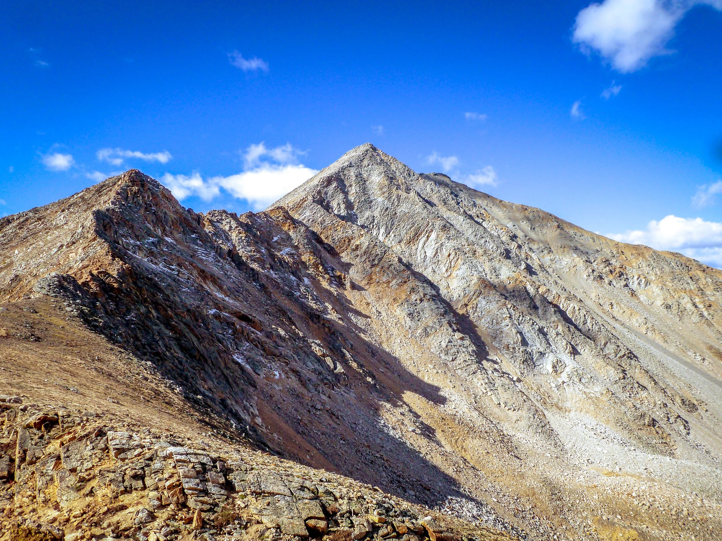
La Plata Peak rises to 14,343 feet in the Sawatch Range. It's the fifth-highest summit in Colorado and in the entire Rocky Mountains. It sits in Chaffee County, inside the Collegiate Peaks Wilderness of San Isabel National Forest, south of Highway 82 between Twin Lakes and Independence Pass.
The standard Northwest Ridge route starts at the La Plata Peak Trailhead, 14.6 miles west of US 24 on Highway 82. It's about 9.25 miles round trip with roughly 4,400 feet of gain and Class 2 terrain. The route climbs through forest, up a steep slope to the ridge, and finally across a long talus section to the summit.
For photographers, La Plata offers big relief and a famously jagged neighbor in Ellingwood Ridge. The summit looks out over a sea of Sawatch and Elk Range peaks.
A 9.6-mile out-and-back via the North Trail summer route near Twin Lakes, rated difficult with wildflowers along much of the climb. Best June through August, dogs welcome on leash — the lower slopes hold columbine and other wildflowers into midsummer, giving you a foreground option most fourteener approaches lack.
History
"La Plata" is Spanish for silver, a nod to the silver deposits that drew prospectors across this region. A Hayden Survey party made the first recorded ascent on July 26, 1873, during the federal surveys that mapped much of Colorado's high country.
The peak's northeast arm, Ellingwood Ridge, is named for Albert Ellingwood, who first climbed it in the 1930s. It's one of the most technically demanding routes in the Sawatch, rated Class 3 and mostly off-trail. The standard Northwest Ridge remains the common way up.
Photographing La Plata Peak
Best light: An alpine start is best. Shoot sunrise from the upper Northwest Ridge, when the low light rakes across the ridges and lights Ellingwood Ridge's spires. Mid-July through August is the snow-free window. Late September adds golden aspens along Highway 82 on the drive.
Shots to look for
- From the Northwest Ridge, shoot east with a 24-70mm, using Ellingwood Ridge's jagged spine as a dramatic leading line.
- From the summit, make a long-lens panorama of the surrounding Sawatch and Elk Range peaks layered in morning haze.
- In the lower basin, frame wildflowers in the meadows with La Plata's north face towering above.
- From the Highway 82 corridor near Twin Lakes, shoot the peaks at sunrise over still water.
- Use a hiker on the talus near the buttress for scale against the steep terrain.
Photo tips
- Be off the summit before afternoon storms, because the long ridge is exposed with few escape routes.
- The talus near the buttress is the most confusing part of the route. Note landmarks on the way up.
- The trailhead lot is small, so arrive early on summer weekends.
- Wilderness rules apply, including group-size and camping limits. Drones aren't allowed in designated wilderness.
- Highway 82 over Independence Pass closes in winter. Check CDOT status in the shoulder seasons.
Know before you go
- The route enters the Collegiate Peaks Wilderness. Check current rules for party size, camping, campfires and dogs.
- Parts of the standard route are prone to avalanches in winter and spring.
- Above about 13,500 feet, firm snow can linger into early summer. Microspikes help.
- Lightning is the top summer hazard. Start early and turn back if storms build.
Frequently asked questions
How long is the La Plata Peak hike?
The standard Northwest Ridge route is about 9.25 miles round trip, with roughly 4,400 feet of elevation gain.
How hard is La Plata Peak?
It's Class 2. It's a long, steep hike with a talus section near the top, but it doesn't require technical climbing. Ellingwood Ridge is a much harder Class 3 alternative.
What does La Plata mean?
It's Spanish for silver, after the region's silver deposits.
Featured in: Colorado 14ers: Hiking and Photography Guide
Combine it with
Mt Belford · Mount Yale · Turquoise Lake Trail
More Colorado spots
Sources & further reading: 14ers.com · en.wikipedia.org. Conditions, fees and rules change; check with the managing agency before you go.