← All themes · All hikes and spots
Colorado 14ers: Hiking and Photography Guide
Standing above 14,000 feet at sunrise is one of the best things you can do in Colorado. These are the fourteeners on this site, from the most beginner-friendly standard routes to serious, all-day climbs.
Tip: Start in the dark to be off the summit before afternoon lightning, which is common from July through August. A light wide-angle lens and a telephoto for layered ridgelines cover most summit shots.
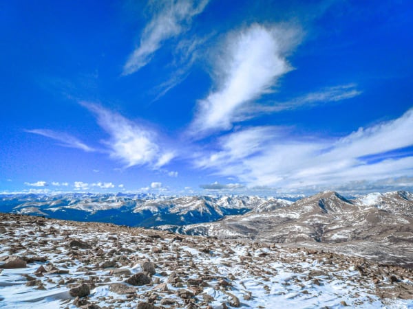
1.Mt Bierstadt
The Front Range's most approachable 14er, named for the painter who made the Rockies famous.
Summit elevation: About 14,060 ft · Distance: About 7-7.25 mi round trip · Elevation gain: Roughly 2,400-2,850 ft
Best light: Bierstadt's west face looks right at Guanella Pass, so sunset alpenglow on the peak from the pass ponds is the classic shot. If you summit at sunrise, turn west to catch first light on Grays, Torreys and the Divide. Late September aspen color on Guanella Pass Road is outstanding.
Full guide →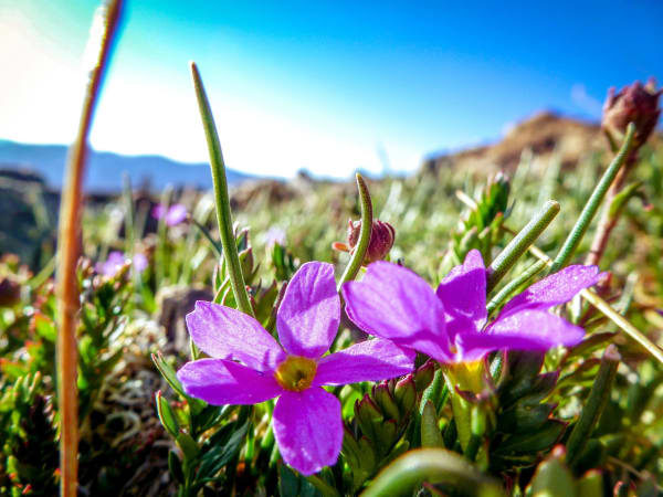
2.Quandary Peak
Summit County's most popular fourteener, with mountain goats and a reservation-only trailhead.
Summit elevation: About 14,265 ft · Distance: About 6.75 mi round trip (East Ridge) · Elevation gain: About 3,450 ft
Best light: The east ridge faces the rising sun. Starting before dawn puts you on the open ridge for first light, with the Mosquito Range and Hoosier Pass glowing to the east and south. Mountain goats are most active in the cooler morning hours. Late July brings tundra wildflowers, and a snowy ridge in late spring and fall makes the most dramatic images.
Full guide →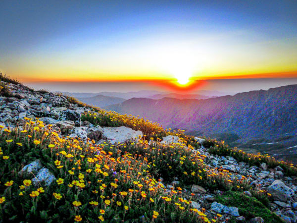
3.Grays and Torreys Peak
Two 14ers joined by one saddle, a short drive from Denver — the Front Range's favorite double.
Summit elevations: Grays ~14,270 ft; Torreys 14,267 ft · Distance: About 7.5 mi round trip (Grays); 8-8.5 mi for both · Elevation gain: About 3,000 ft (Grays); about 3,600 ft for both
Best light: Sunrise is the classic window: the east-facing slopes of both peaks catch alpenglow at the head of the gulch while you are on the approach. Be off the summits by early afternoon in monsoon season. Early July often brings lingering snow and the first wildflowers in the valley.
Full guide →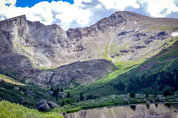
4.Mt Evans
Drive North America's highest paved road to the summit of Mount Blue Sky, formerly Mount Evans, an hour from Denver.
Summit elevation: About 14,266 ft · Road: CO 5, about 15 mi from Echo Lake · Fees/permits: Timed reservation on Recreation.gov; 2026 fee $20/vehicle, $15/motorcycle
Best light: Sunrise is the classic shoot: the summit and the plains to the east catch first light while Denver sits in shadow below. Check the road's current gate hours before planning a pre-dawn drive. Late July and August bring tundra wildflowers around Summit Lake, and evening light warms the west faces of the bristlecones on Mount Goliath.
Full guide →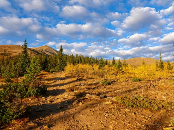
5.Mt Elbert
Stand on the roof of the Rockies: Colorado's highest summit, reached by a steady Class 1 trail above Twin Lakes.
Summit elevation: 14,438 ft (14ers.com) · Distance: 9.75 mi round trip (Northeast Ridge) · Elevation gain: About 4,500 ft
Best light: Summit at or shortly after sunrise: you will be hiking in the dark, but the low eastern light rakes across the Arkansas Valley and the Mosquito Range, and you get off the ridge before afternoon storms build. July through September is the usual snow-free window; late September adds gold aspen in the lower forest and around Twin Lakes.
Full guide →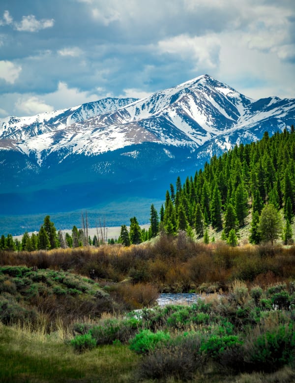
6.Mount Massive
Colorado's second-highest peak and the biggest chunk of 14,000-foot terrain in the Lower 48, right above Leadville.
Summit elevation: 14,427 ft (14ers.com) · Distance: 13.75 mi round trip (East Slopes) · Elevation gain: About 4,500 ft
Best light: Sunrise on the summit ridge sends long shadows west across the Sawatch and lights Mount Elbert to the south. From Leadville or the Turquoise Lake area, the long east face catches warm morning light and fresh autumn snow beautifully.
Full guide →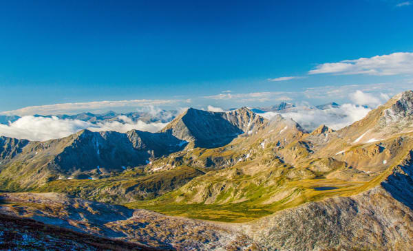
7.Mt Belford
A direct, steep Collegiate Peaks fourteener above the old mining camp of Vicksburg.
Summit elevation: About 14,200 ft · Distance: About 8 mi round trip (Northwest Ridge) · Elevation gain: About 4,500 ft
Best light: Start early so you're in the upper Missouri Gulch basin around sunrise. The surrounding peaks catch alpenglow while the basin floor stays in shade. Mid-July through early August is best for wildflowers in the upper gulch. Late September brings gold to the aspens along the Clear Creek valley and County Road 390.
Full guide →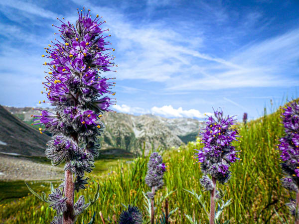
8.Huron Peak
A Sawatch 14er with one of the finest summit views in Colorado — straight down onto the Three Apostles.
Summit elevation: About 14,003 ft · Distance: About 6.5 mi round trip (4WD trailhead); about 10.5 mi from 2WD parking · Elevation gain: About 3,500 ft (4WD trailhead)
Best light: A sunrise or early morning summit puts warm side light on the Three Apostles to the south and the rest of the Sawatch around you. Late September brings gold aspens along Clear Creek Road and around Winfield, making the drive part of the shoot.
Full guide →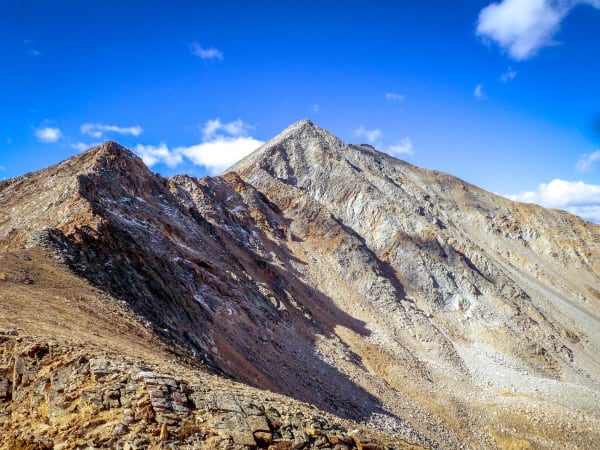
9.La Plata Peak
Colorado's fifth-highest summit, a Sawatch giant above the road to Independence Pass.
Summit elevation: 14,343 ft · Distance: About 9.25 mi round trip (Northwest Ridge) · Elevation gain: About 4,400 ft
Best light: An alpine start is best. Shoot sunrise from the upper Northwest Ridge, when the low light rakes across the ridges and lights Ellingwood Ridge's spires. Mid-July through August is the snow-free window. Late September adds golden aspens along Highway 82 on the drive.
Full guide →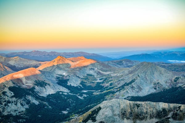
10.Mount Yale
A Collegiate Peaks fourteener above Cottonwood Pass Road, finishing on a scrambly summit ridge.
Summit elevation: About 14,200 ft · Distance: About 9.5 mi round trip (Southwest Slopes) · Elevation gain: About 4,300 ft
Best light: On the Southwest Slopes route, the upper mountain gets warm light shortly after sunrise, with long shadows across the Collegiate peaks to the west. Late September brings gold to the aspens along Cottonwood Pass Road and the lower trail. July and August are the best months for wildflowers and stable conditions before afternoon storms.
Full guide →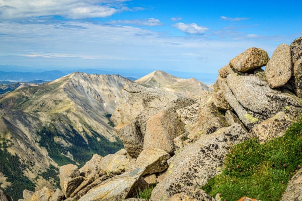
11.Mount Shavano
The southern Sawatch fourteener above Salida, famous for the snowy 'Angel' that appears every spring.
Summit elevation: About 14,230 ft · Distance: About 10 mi round trip (East Slopes) · Elevation gain: About 4,500 ft
Best light: The Angel faces east and shows best in late spring to early summer. Shoot it at sunrise from the Arkansas Valley, when the first light hits the east face. On the climb, sunrise from the upper east slopes looks out over the valley toward the Sangre de Cristo Range. Fall aspens on the lower slopes peak around late September.
Full guide →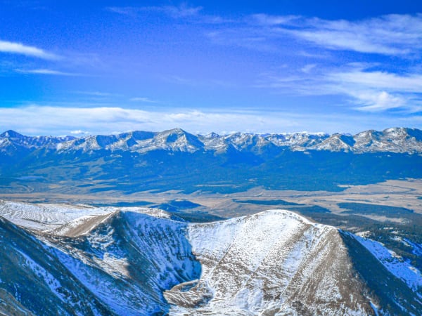
12.Mount Sherman
One of Colorado's gentlest fourteeners, threading past hilltop mine ruins high in the Mosquito Range.
Summit elevation: About 14,040 ft · Distance: About 5.25 mi RT from 12,000-ft gate (10.5 mi from winter closure) · Elevation gain: About 2,100 ft (3,100 ft from winter closure)
Best light: The mine buildings sit on the route's south and east-facing slopes, so morning light rakes across the weathered timber nicely. Sunrise from the saddle looks east over South Park. July and August usually mean a dry road and an open trail, while June often leaves snow patches on the approach to the saddle.
Full guide →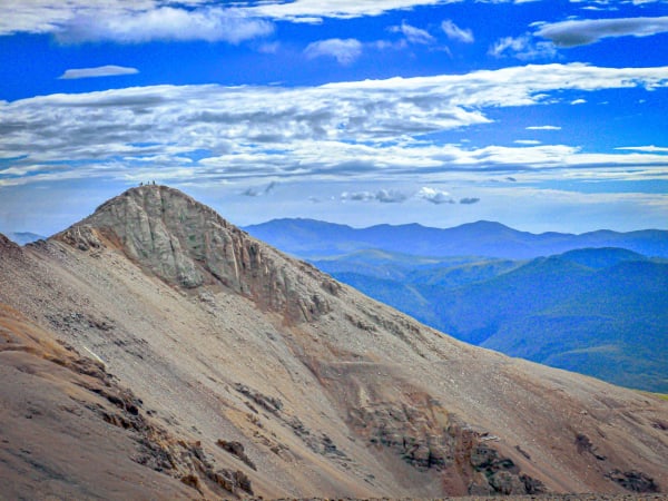
13.The Decalibron
Four 14,000-foot summits in one loop above Kite Lake — Democrat, Cameron, Lincoln and Bross.
Distance: About 7.25 mi loop · Elevation gain: Roughly 3,300-3,700 ft · Trailhead: Kite Lake, about 12,000 ft, end of Park County Rd 8
Best light: Start before dawn: alpenglow lights Mount Democrat above Kite Lake, and the ridges catch beautiful side light early. Summer afternoons bring thunderstorms that make the long ridge dangerous, so do your shooting in the morning.
Full guide →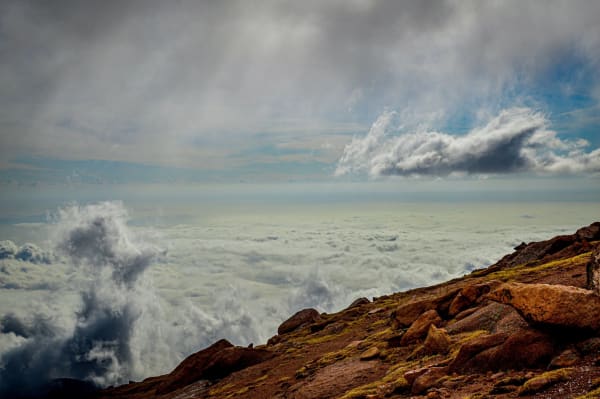
14.Pikes Peak
America's Mountain, the easternmost fourteener, which inspired "America the Beautiful".
Summit elevation: 14,115 ft · Barr Trail: About 13 mi one way, nearly 8,000 ft gain · Crags route: About 14 mi RT, ~4,300 ft gain, Class 2
Best light: Sunrise from the summit is the signature shot here. The peak faces the open plains, so the first light hits nothing else for miles, and the summit catches alpenglow early. Check highway hours if you plan to drive up for it. From the west side, evening light falls on the Crags' granite spires. Late September brings aspen color along the highway and Highway 67.
Full guide →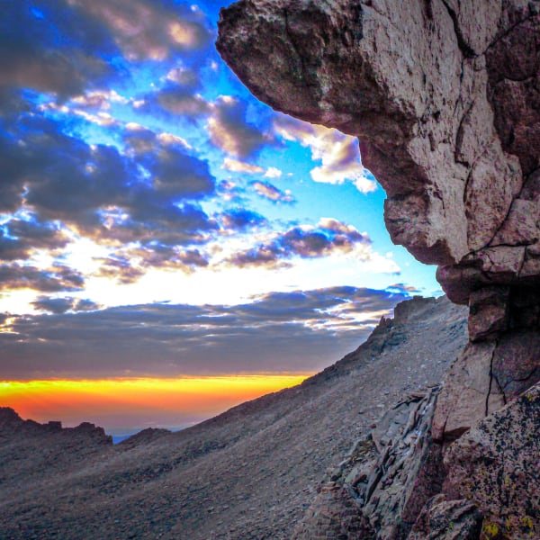
15.Longs Peak
Rocky Mountain National Park's only fourteener, with the sheer Diamond face and a serious Class 3 Keyhole Route.
Summit elevation: 14,259 ft · Distance: About 14.5 mi round trip (Keyhole Route) · Elevation gain: About 5,100 ft
Best light: The Diamond faces east and turns brilliant orange at sunrise. Being at Chasm Lake or on the Chasm Lake trail at first light is the signature shot. The Keyhole Route is usually climbed in summer, but conditions can be wintry at any time of year. From the valleys, sunset light falls on the peak's west and south sides.
Full guide →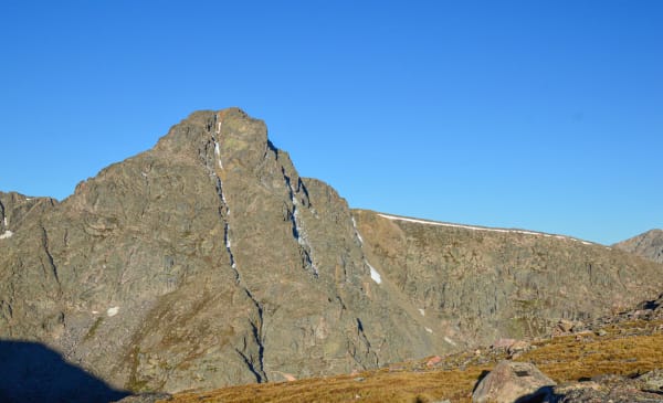
16.Mount Holy Cross and Halo Ridge
The legendary snow cross of the Sawatch, seen from Notch Mountain and circled by one of Colorado's great ridge walks.
Summit elevation: 14,007 ft (14ers.com) · Distance: North Ridge 11.25 mi RT; Halo Ridge 15 mi RT · Elevation gain: North Ridge 5,600 ft; Halo Ridge 5,210 ft
Best light: The cross faces east toward Notch Mountain, so sunrise from the shelter is the shot, exactly as Jackson did it in 1873. The snow cross is most complete in early summer and fades by late season; late June through July is the best balance of open road and good snow.
Full guide →
More Colorado guides
Best Fall Color Spots in Colorado · Best Sunrise Photography Spots in Colorado · Easy Colorado Hikes With Big Views · Winter Photography Spots in Colorado · Best Alpine Lake Hikes in Colorado · Photography Spots Near Denver · Best Wildflower Hikes in Colorado · Colorado Waterfall Hikes · Where to Photograph Wildlife in Colorado · Night Sky and Storm Photography in Colorado