Mount Yale
A Collegiate Peaks fourteener above Cottonwood Pass Road, finishing on a scrambly summit ridge.
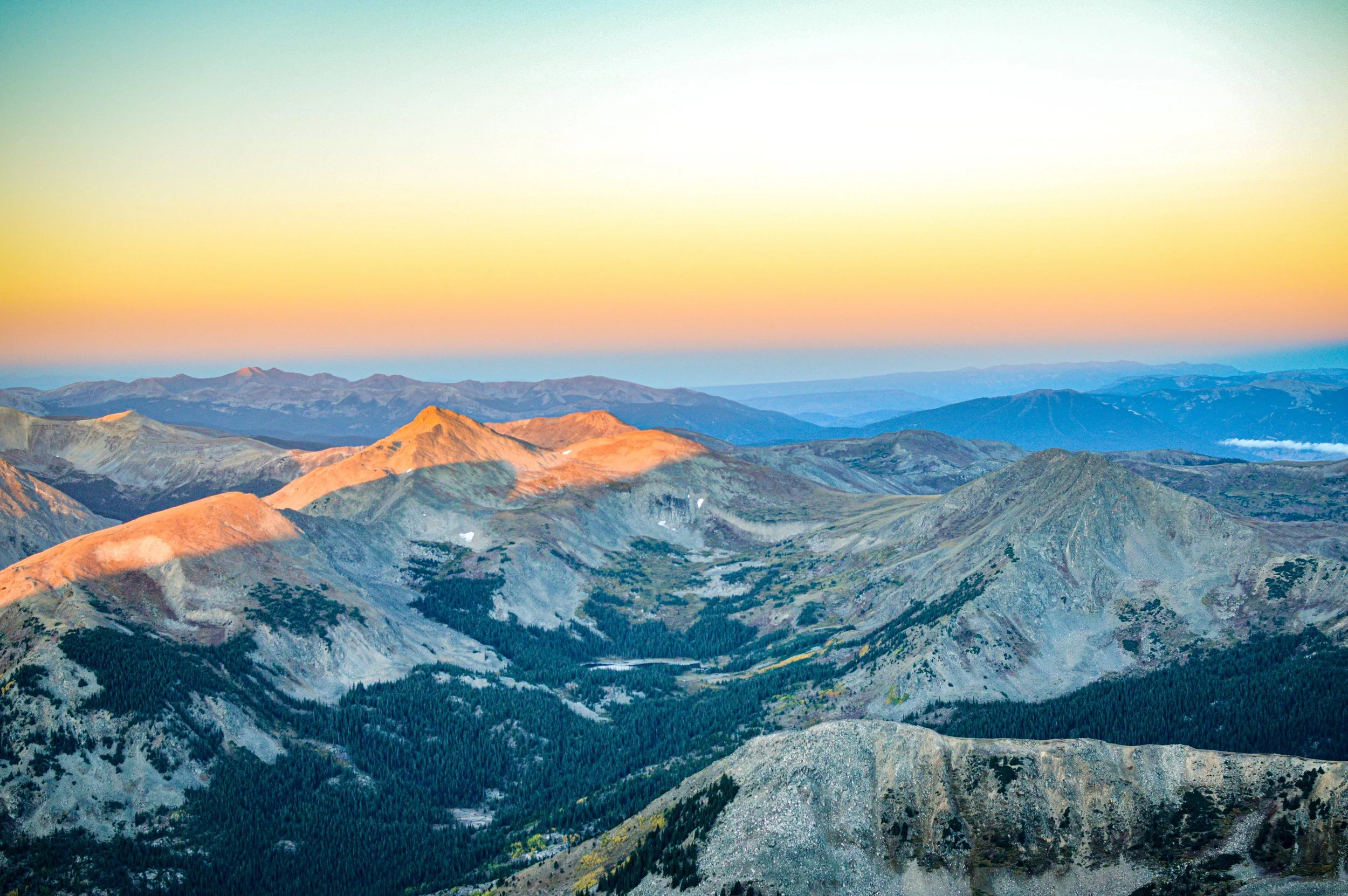
About Mount Yale
Mount Yale stands about 14,200 feet tall in the Collegiate Peaks of the Sawatch Range. It's in Chaffee County within the Collegiate Peaks Wilderness of San Isabel National Forest, roughly 9 miles west-northwest of Buena Vista.
The standard Southwest Slopes route starts at the Denny Creek Trailhead, 12 miles up County Road 306 toward Cottonwood Pass. It covers about 9.5 miles round trip with roughly 4,300 feet of gain. It's mostly Class 2, but the final summit ridge becomes easy Class 3 if you stay on the crest.
Yale's summit looks out over its Collegiate neighbors and down the Arkansas Valley. The drive up Cottonwood Pass Road is a fall-color destination in its own right.
A 10.2-mile out-and-back via the Summit Trail near Buena Vista, rated difficult with a river along the route. Best July through September, dogs welcome on leash — the summit sits centrally enough in the Collegiate Peaks that the surrounding panorama includes several other fourteeners in a single wide frame.
History
Yale was named in 1869 by a survey team led by Harvard professor Josiah Whitney, who named it for his alma mater, Yale University. Whitney, William Brewer and others made the first recorded ascent on August 18, 1869.
The same survey began the Collegiate naming theme that now includes Mount Harvard, Mount Princeton, Mount Columbia and Mount Oxford. Yale and Princeton differ in height by only about a foot.
Photographing Mount Yale
Best light: On the Southwest Slopes route, the upper mountain gets warm light shortly after sunrise, with long shadows across the Collegiate peaks to the west. Late September brings gold to the aspens along Cottonwood Pass Road and the lower trail. July and August are the best months for wildflowers and stable conditions before afternoon storms.
Shots to look for
- From the upper slopes, frame the layered Collegiate peaks at sunrise with a telephoto.
- On the summit ridge, shoot along the rocky crest with a hiker for scale and the Arkansas Valley below.
- In late September, photograph the golden aspens along Cottonwood Pass Road with Yale's flanks beyond.
- From the summit, use a wide lens to capture Mount Princeton and the long Sawatch skyline.
- Along Denny Creek, shoot creekside details in soft forest light.
Photo tips
- Start early. The upper slopes are exposed and storms build quickly over the Sawatch.
- The final ridge scramble is easier slightly off the crest. Choose the line that fits your comfort.
- The paved trailhead lot fills on summer weekends.
- Wilderness rules limit group size, camping and campfires, and drones are not allowed.
- Cottonwood Pass Road above the trailhead closes seasonally. Check status if you plan to continue over the pass.
Know before you go
- The route enters the Collegiate Peaks Wilderness. Check current rules on party size, camping, campfires and dogs.
- The summit ridge involves some scrambling. Be careful in wet or icy conditions.
- Lightning is the top hazard in summer. Turn around if storms build.
- For wilderness questions, contact the San Isabel National Forest.
Frequently asked questions
How long is the Mount Yale hike?
The standard Southwest Slopes route from Denny Creek is about 9.5 miles round trip, with roughly 4,300 feet of gain.
How hard is Mount Yale?
It's a Class 2 hike with a steep, rocky finish. The summit ridge reaches easy Class 3 if you stay directly on the crest.
Why is it called Mount Yale?
Josiah Whitney's 1869 survey team named it after Yale University, Whitney's alma mater. That started the Collegiate Peaks naming tradition.
Featured in: Colorado 14ers: Hiking and Photography Guide
Combine it with
Mt Belford · Mount Shavano · La Plata Peak
More Colorado spots
Sources & further reading: 14ers.com · en.wikipedia.org. Conditions, fees and rules change; check with the managing agency before you go.