Pikes Peak
America's Mountain, the easternmost fourteener, which inspired "America the Beautiful".
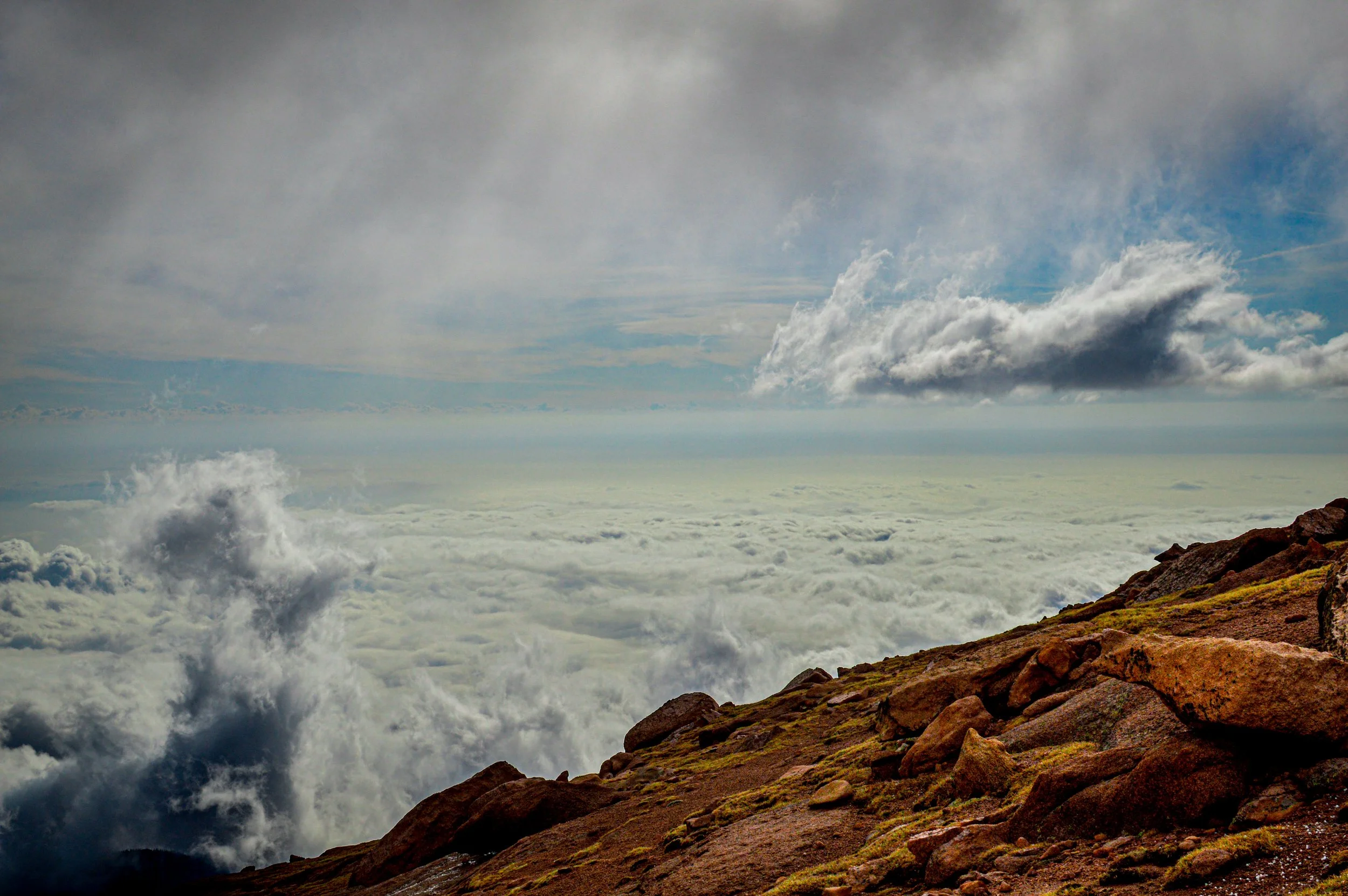
About Pikes Peak
Pikes Peak rises to 14,115 feet above Colorado Springs and Manitou Springs, and it's the highest point in El Paso County. It's the easternmost fourteener in the United States, so it stands alone above the plains and dominates the southern Front Range skyline.
You can reach the summit several ways. You can drive the 19-mile Pikes Peak Highway toll road, ride the rebuilt Manitou and Pikes Peak Cog Railway, or hike up. The famous Barr Trail is about 13 miles one way from Manitou Springs, with nearly 8,000 feet of gain. The quieter Crags route from the west side covers about 14 miles round trip with roughly 4,300 feet of gain and is rated Class 2.
For photographers, the peak offers a lot: pink granite, sunrise over the plains, bristlecone-dotted slopes, and mountain lakes and reservoirs along the highway.
A 25-mile out-and-back via the Barr Trail near Manitou Springs, recommended only for very experienced hikers given the sheer distance and elevation gain involved, with a waterfall along the way for those tackling it. Best May through October, dogs welcome on leash — this is a full-day commitment even for strong hikers, and the summit view over the plains to the east is dramatically different from any Front Range mountain view looking west.
History
The Ute knew the mountain as Tava-Kaavi, or Sun Mountain, and the Arapaho called it Long Mountain. It takes its English name from Zebulon Pike, who attempted to climb it in 1806 but turned back. Edwin James, the botanist on Stephen Long's expedition, made the first documented ascent in July 1820.
In 1893 the summit view inspired Katharine Lee Bates to write the poem that became "America the Beautiful." The summit area was declared a National Historic Landmark in 1961. The mountain's distinctive pink granite is roughly a billion years old.
Photographing Pikes Peak
Best light: Sunrise from the summit is the signature shot here. The peak faces the open plains, so the first light hits nothing else for miles, and the summit catches alpenglow early. Check highway hours if you plan to drive up for it. From the west side, evening light falls on the Crags' granite spires. Late September brings aspen color along the highway and Highway 67.
Shots to look for
- From the summit, shoot the sunrise over the plains with a wide lens, using the rocky summit edge as foreground.
- From the Pikes Peak Highway near Devil's Playground or Glen Cove, use a telephoto to frame the winding road and switchbacks.
- Photograph the Crags' granite spires with Pikes Peak in the background in late-day light.
- From Garden of the Gods, frame the red sandstone fins with snowy Pikes Peak behind them at sunrise.
- Look for weathered bristlecone pines on the upper highway as foreground against the summit.
Photo tips
- Timed-entry permits are needed for vehicles beyond mile 7 of the highway during the summer season (May 22-Sept 30 in 2026), plus admission. A summer shuttle runs from mile 7. Check current rules with the City of Colorado Springs.
- Weather changes fast at 14,000 feet. Bring warm layers even in July.
- On the Crags route, the crux is about 350 feet of Class 2 rock-hopping above 13,600 feet.
- Altitude affects you whether you drive or hike, so take it slow on the summit.
- Check drone rules before you fly. Much of the mountain is on National Forest and city land, which have their own restrictions.
Know before you go
- Driving the Pikes Peak Highway requires admission and, in summer, a timed-entry permit for travel beyond mile 7. Book ahead.
- The Barr Trail is a very long day, about 13 miles one way with nearly 8,000 feet of gain. Many hikers arrange a ride down or a return on the cog railway.
- Afternoon thunderstorms and lightning are common in summer above treeline.
- The Crags trailhead is reached via Divide and CO 67. The access road can be rough.
Frequently asked questions
Do you need a reservation to drive Pikes Peak?
In summer, yes. The highway requires a timed-entry permit for vehicles beyond mile 7, plus admission. Check the City of Colorado Springs for current dates and fees.
How long is the hike up Pikes Peak?
The Barr Trail is about 13 miles one way with nearly 8,000 feet of gain. The Crags route from the west side is about 14 miles round trip with roughly 4,300 feet of gain.
What is the elevation of Pikes Peak?
14,115 feet, the figure on the summit sign, though surveys vary by a few feet.
Featured in: Colorado 14ers: Hiking and Photography Guide
Combine it with
Garden of the Gods · Manitou Springs · The Crags · Mount Shavano
More Colorado spots
The Decalibron · Mount Sherman · South Valley Park, Jefferson County
Sources & further reading: en.wikipedia.org · 14ers.com · denver7.com. Conditions, fees and rules change; check with the managing agency before you go.