Mount Sherman
One of Colorado's gentlest fourteeners, threading past hilltop mine ruins high in the Mosquito Range.
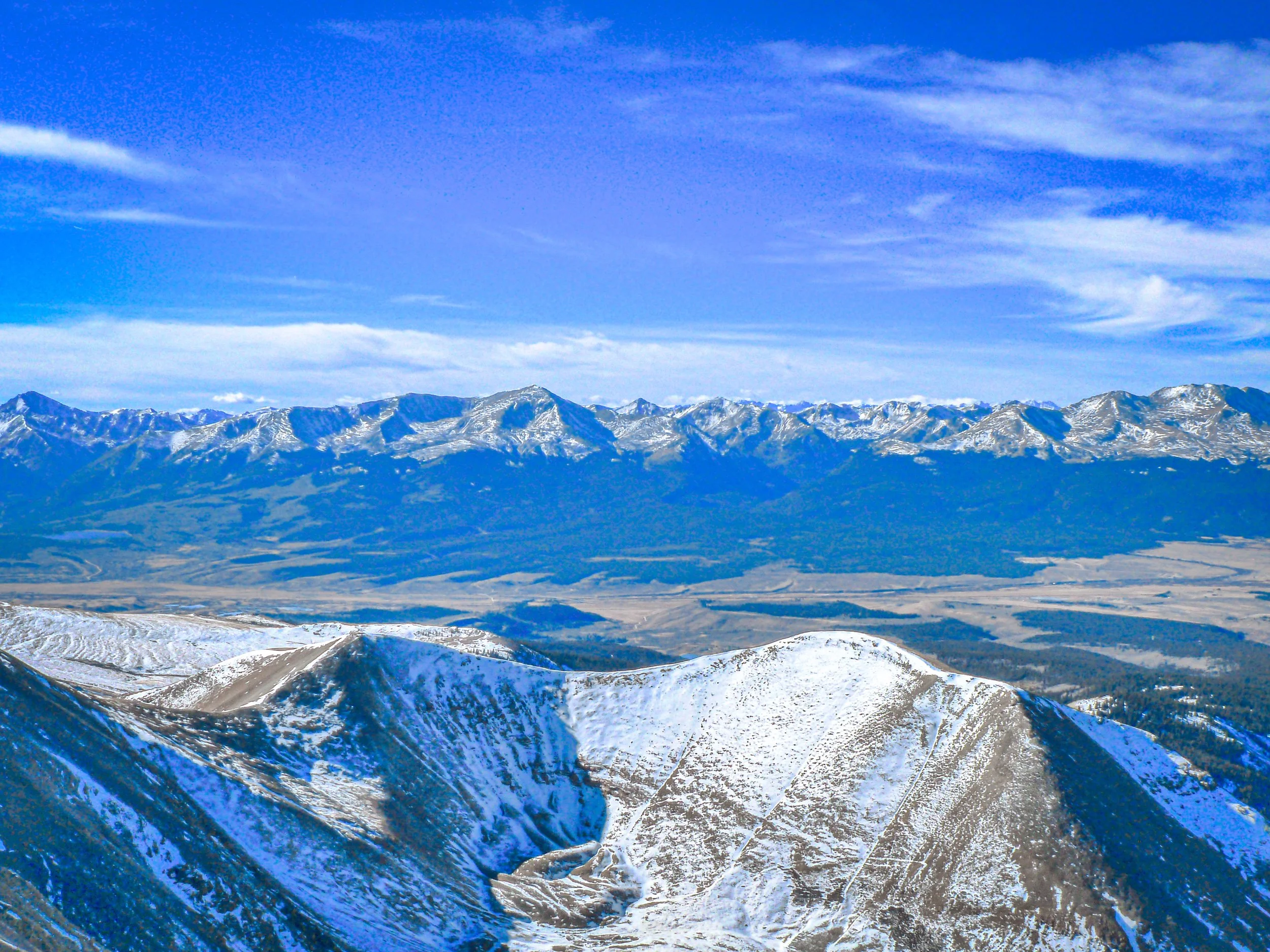
About Mount Sherman
Mount Sherman rises to about 14,040 feet in the Mosquito Range, on the line between Lake and Park counties, about 7 miles east-southeast of Leadville. It's widely considered one of the easiest fourteeners. On the standard route, the Fourmile Creek Road lets you start near 12,000 feet, which keeps the climb short.
From the gate at about 12,000 feet, the Southwest Ridge route covers roughly 5.25 miles round trip with about 2,100 feet of gain on Class 1 terrain. Early in the season, when the road is closed lower at about 11,100 feet, that grows to around 10.5 miles and 3,100 feet. The trail passes the Dauntless Mine area and the old Hilltop Mine, reaches the Sherman-Sheridan saddle and then follows a ridge to the summit. The ridge has a narrow, loose section near 13,700 feet.
The mine relics make Sherman a distinctive photo destination. Weathered timber buildings stand against a backdrop of tundra and peaks.
A 4.4-mile out-and-back from Iowa Gulch near Leadville, rated difficult with genuinely scenic views for a relatively short fourteener approach. Best June through October — old mining ruins scattered along the upper approach add historic texture that most fourteener trails don't offer.
History
The peak honors General William Tecumseh Sherman. The Mosquito Range was rich silver country. The Sherman Mine in upper Iowa Gulch, on the Leadville side, produced more than 10 million ounces of silver, mostly between 1968 and 1982. On the standard route, the ruins of the Hilltop Mine perch high on the ridge, and you pass the Dauntless Mine area lower down.
Sherman also has an odd aviation footnote. It's the only Colorado fourteener where an aircraft has made a successful landing on the summit.
Photographing Mount Sherman
Best light: The mine buildings sit on the route's south and east-facing slopes, so morning light rakes across the weathered timber nicely. Sunrise from the saddle looks east over South Park. July and August usually mean a dry road and an open trail, while June often leaves snow patches on the approach to the saddle.
Shots to look for
- Frame the Hilltop Mine buildings with the ridge and summit beyond, using a 24mm lens to emphasize the timber structures.
- Shoot the Dauntless Mine relics at first light with long shadows across the tundra.
- From the saddle, look east over South Park with a telephoto to compress the distant ranges.
- Use hikers on the narrow ridge section near 13,700 feet for scale against the open sky.
- From the summit, photograph the Mosquito Range peaks and Leadville's valley to the west.
Photo tips
- Stay out of the mine buildings and shafts. The structures are unstable.
- The upper lot near the gate is small. Use the pull-offs lower on the road if it's full.
- Most good-clearance passenger cars can reach about 11,800 feet when the road is dry.
- Wind is often strong on the open ridge and saddle. Secure your tripod and layers.
- Respect private property and mining claims along the route, and stay on the established trail.
Know before you go
- The road may be closed lower (around 11,100 feet) early in the season, which nearly doubles the hike.
- The ridge has a narrow, loose-rock section near 13,700 feet. Watch your footing.
- Old mine sites are hazardous, and some land in the area is privately held. Stay on the trail.
- Despite the short distance, you start near 12,000 feet. Altitude sickness is a real risk if you've come straight from Denver.
Frequently asked questions
Is Mount Sherman a good first 14er?
It's one of the easiest. From the gate at about 12,000 feet, the Class 1 route is roughly 5.25 miles round trip with about 2,100 feet of gain. You still start very high, so give yourself time to acclimatize.
How long is the Mount Sherman hike?
It's about 5.25 miles round trip from the 12,000-foot gate. When the road is closed lower in winter or early season, it's about 10.5 miles.
Can you go inside the old mines on Mount Sherman?
No. The buildings and shafts are unstable and dangerous, so photograph them from the trail.
Featured in: Colorado 14ers: Hiking and Photography Guide
Combine it with
Quandary Peak · Mohawk Lakes · Turquoise Lake Trail
More Colorado spots
Pikes Peak · South Valley Park, Jefferson County · Waterton Canyon
Sources & further reading: 14ers.com · en.wikipedia.org. Conditions, fees and rules change; check with the managing agency before you go.