The Decalibron
Four 14,000-foot summits in one loop above Kite Lake — Democrat, Cameron, Lincoln and Bross.
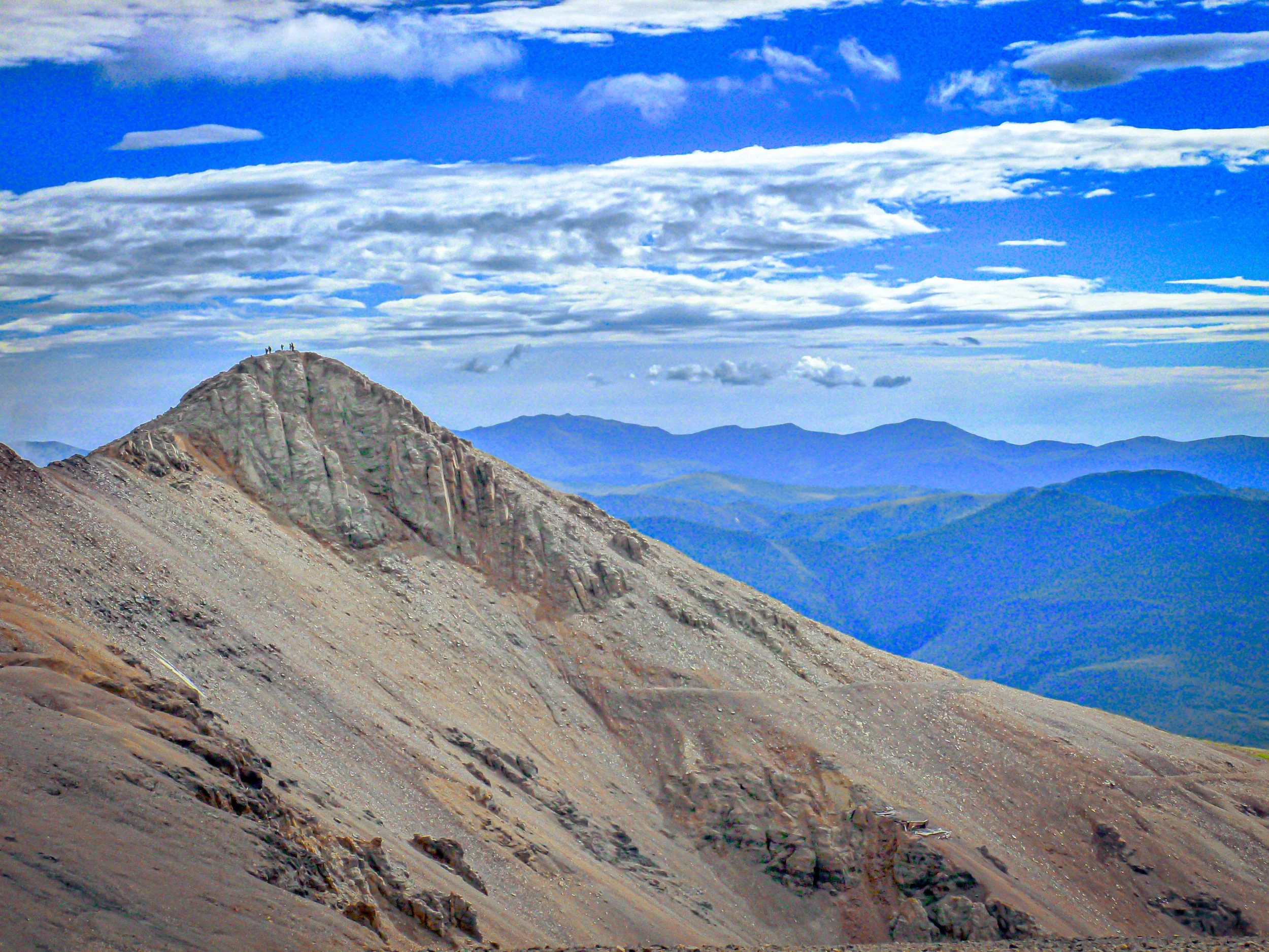
About The Decalibron
The Decalibron is a popular loop in the Mosquito Range above Alma, in Park County, that strings together Mount Democrat, Mount Cameron, Mount Lincoln and Mount Bross. It starts at Kite Lake, at about 12,000 feet at the end of Park County Road 8, and runs roughly 7.25 miles with somewhere around 3,300 to 3,700 feet of total gain.
The high trailhead is what makes it possible to collect several 14,000-foot summits in a single day. Mount Lincoln is the highest point in the Mosquito Range and in Park County, while Cameron is an unranked summit with too little prominence to count as a separate 14er.
This is mining country, scarred with old prospects and cabins, and much of the land on these peaks is privately owned. That history adds great foreground material, but also means you need to stick to the established route.
A 7-mile loop near Alma linking four summits — Democrat, Cameron, Lincoln, and Bross — in a single difficult but efficient day. There's a lake along the route, and the window runs June through October — four summits in one loop means four completely different angles on the surrounding range without repeating a trailhead.
History
Silver was discovered on Mount Lincoln in 1874, and the slopes of all four peaks are dotted with old mines. Lincoln was named for President Abraham Lincoln. Democrat was first called Republic Mountain and later Mount Buckskin before Southern-sympathizing Democrats renamed it after Lincoln was named; the new name appeared on official maps by 1883.
Because mining companies still own much of the land, access has been contested. Landowners closed the peaks in 2005 over liability concerns; in 2006 the Town of Alma leased the peaks to reopen them, but Mount Bross was left out because not every owner agreed. Access to the true summit of Bross has been restricted ever since.
Photographing The Decalibron
Best light: Start before dawn: alpenglow lights Mount Democrat above Kite Lake, and the ridges catch beautiful side light early. Summer afternoons bring thunderstorms that make the long ridge dangerous, so do your shooting in the morning.
Shots to look for
- Mount Democrat reflected in Kite Lake at first light, from the south shore near the trailhead
- Old mining structures and cabins along the route as foreground against the high peaks
- Looking down the ridge from Lincoln toward Cameron and Bross with a wide angle to show the scale of the loop
- Telephoto views from Lincoln toward distant Sawatch and Tenmile peaks layered in morning haze
- Alpine wildflowers around the lake basin in July
Photo tips
- Stay on the designated route around Bross and respect private property and mining claim signs
- Old mine openings are dangerous — never enter them
- Plan to be off the ridge by early afternoon in monsoon season
- The road to Kite Lake gets rough near the top; parking fills early on summer weekends
- Bring warm layers and gloves — it is cold at sunrise even in July
Know before you go
- Much of the land is private mining property; access depends on landowner agreements — check 14ers.com and the Town of Alma for current status before you go
- The true summit of Mount Bross has been closed to the public; follow posted reroutes
- Kite Lake has a self-serve fee station for day use and camping
- You will be above 13,000 feet for hours — know the signs of altitude sickness
Frequently asked questions
How long is the Decalibron loop?
About 7.25 miles with roughly 3,300 to 3,700 feet of total gain, starting from Kite Lake at about 12,000 feet.
Is Mount Bross open?
The true summit of Bross sits on private land and has been off-limits for years; the loop uses a designated route. Check 14ers.com and the Town of Alma for current status.
Does Mount Cameron count as a 14er?
It is above 14,000 feet but rises only about 138 feet above its saddle with Lincoln, so most lists treat it as an unranked sub-peak.
Featured in: Colorado 14ers: Hiking and Photography Guide
Combine it with
Alma · Fairplay · Mount Sherman · Hoosier Pass
More Colorado spots
Mount Holy Cross and Halo Ridge · Pikes Peak · Mount Sherman
Sources & further reading: en.wikipedia.org · en.wikipedia.org · coloradounited.com. Conditions, fees and rules change; check with the managing agency before you go.