Abyss Trail to Helms Lake
A long, quiet wilderness walk up Scott Gomer Creek to a willow-lined lake beneath Mount Bierstadt.
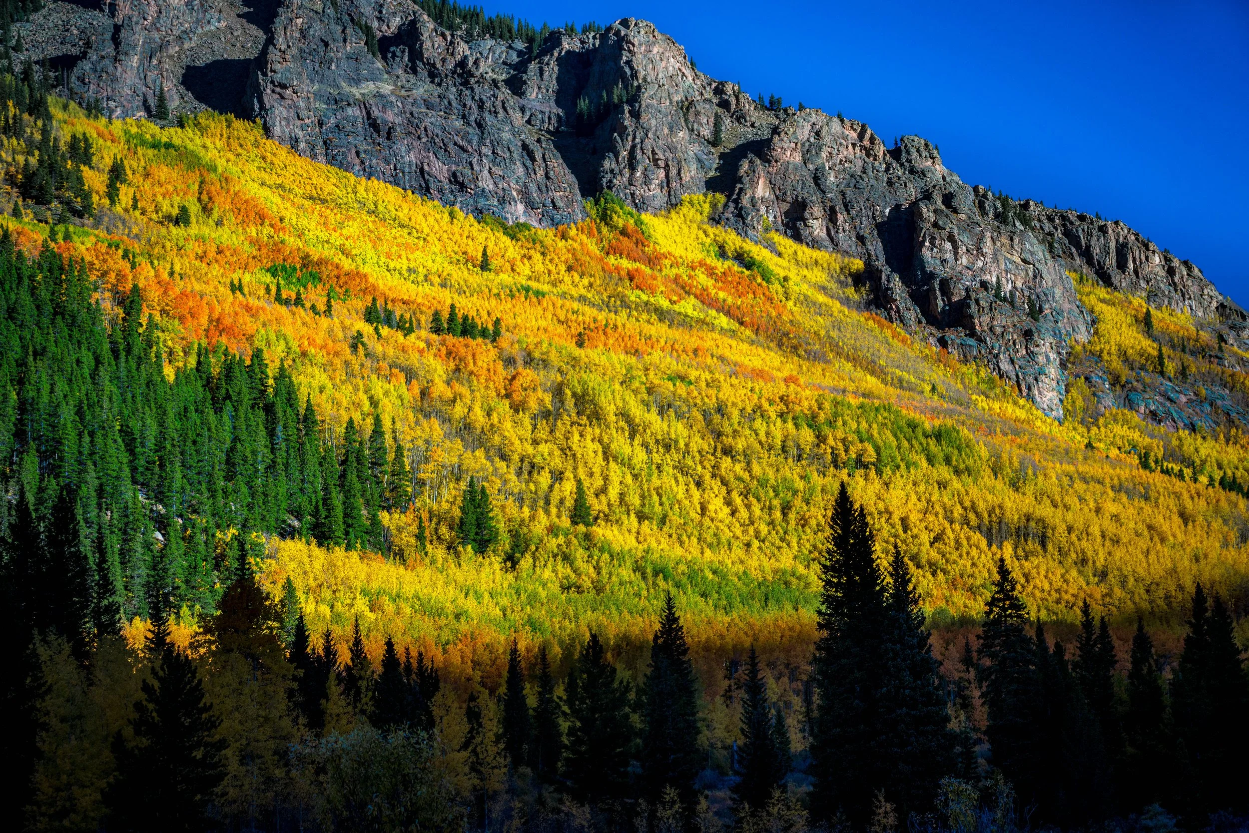
About Abyss Trail to Helms Lake
The Abyss Trail starts on the south side of Guanella Pass Road, about 5.5 miles north of Grant, and climbs gradually up the Scott Gomer Creek valley into the Mount Evans Wilderness. Helms Lake sits about six miles in, roughly 2,000 feet below the summit of Mount Bierstadt, making this a long but steady day of about 12 miles round trip and roughly 2,400 feet of gain.
The first miles roll through forest with several creek crossings; higher up, the trail gets wetter and brushier as it works through willows near Helms Lake. Strong hikers can continue about two and a half more miles to Abyss Lake, set in a glacial cirque between Mount Bierstadt and Mount Blue Sky.
The trailhead sees far less traffic than the Guanella Pass summit lot, so this is a good choice when you want solitude.
An 11.7-mile out-and-back near Grant that follows a river most of the way, rated moderate and well-suited to birdwatching along with the hiking. Dogs are welcome on leash, and May through September is the reliable window — the river itself offers plenty of slow-shutter opportunities if you're carrying an ND filter for the day.
History
The trail is Pike-San Isabel National Forest Trail #602, also called the Scott Gomer Trail, and shares its trailhead with the Burning Bear Trail. It lies within the Mount Evans Wilderness, part of the high basin between Mount Bierstadt and Mount Blue Sky (renamed from Mount Evans in 2023). The upper valley is classic glacial terrain, with the trail ending at Abyss Lake in a cirque carved beneath the two fourteeners. Bighorn sheep and mountain goats use the slopes above the lakes, and moose are seen in the willows.
Photographing Abyss Trail to Helms Lake
Best light: Morning is best at Helms Lake, when Mount Bierstadt's slopes catch side light and the lake is calm. Late September brings gold to the aspens and willows along the lower trail, and July adds wildflowers to the upper meadows.
Shots to look for
- Mount Bierstadt's flank reflected in Helms Lake from the willow-fringed shore (16-35mm)
- Scott Gomer Creek cascades with long exposures under forest cover
- Telephoto shots of bighorn sheep or mountain goats on the slopes above (100-400mm)
- Moose in the willows at dawn from a safe distance
Photo tips
- Fall color weekends bring more traffic to Guanella Pass; start early
- There are no restrooms at the trailhead
- Expect wet, brushy trail and creek crossings; waterproof boots help
- Drones are prohibited in designated wilderness
- Bring a filter for water and storm gear; you are a long way from the car
Know before you go
- Fill out the free wilderness permit at the trailhead and carry it with you
- Group limit of 15 people and/or 10 stock; no camping or fires within 100 ft of water or trails
- Guanella Pass Road is plowed in winter only to about the trailhead
- Moose are common; give them plenty of room
Frequently asked questions
How long is the hike to Helms Lake?
About 6 miles each way, roughly 12 miles round trip, with around 2,400 feet of gain.
Do I need a permit for the Abyss Trail?
You need a free self-issued wilderness permit, available at the trailhead. There's no quota or fee.
How far is Abyss Lake beyond Helms Lake?
About two and a half miles more, for a total round trip of roughly 17-18 miles.
Featured in: Best Alpine Lake Hikes in Colorado
Combine it with
Guanella Pass · Mount Bierstadt · Three Mile Creek · Burning Bear Trail
More Colorado spots
Sources & further reading: fs.usda.gov · hikingproject.com · handstandsaroundtheworld.blog. Conditions, fees and rules change; check with the managing agency before you go.