Denver
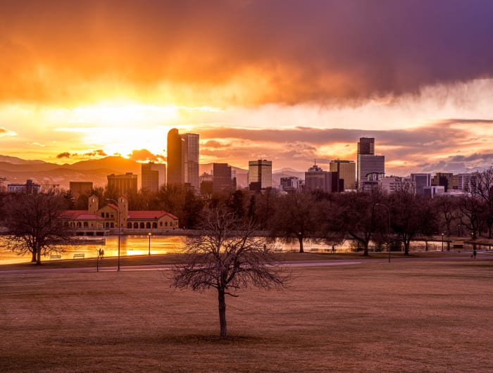
The Mile High City — a skyline with the Front Range as its backdrop and mountain parks at its doorstep.
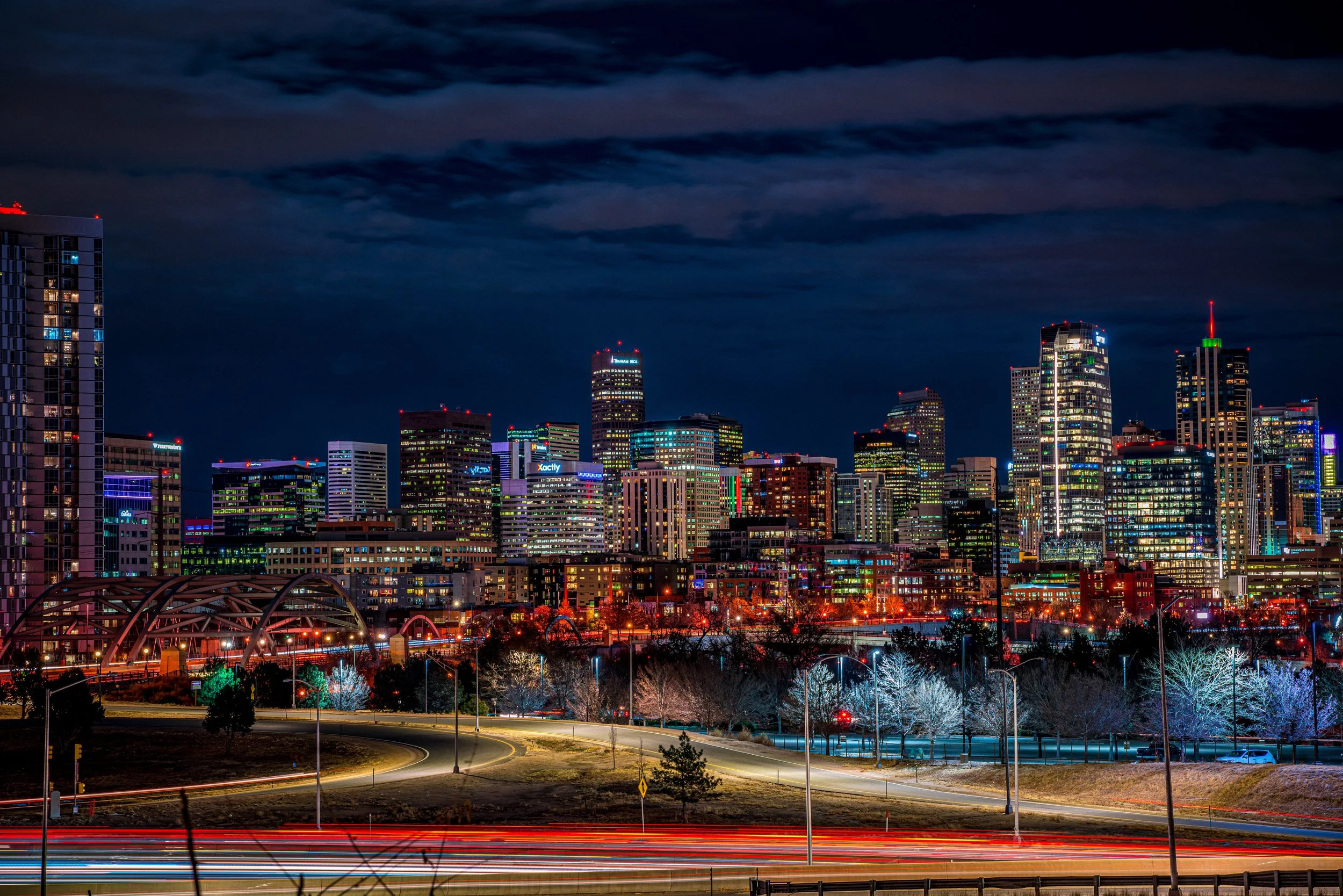
About Denver
Denver sits on the high plains where the South Platte River meets Cherry Creek, with the Front Range rising just to the west. The official mile-high marker is on the steps of the State Capitol, and from many parts of the city the snowcapped peaks hang right behind the skyline — the combination that makes Denver such a good urban landscape subject.
The city also reaches into the mountains. Since 1911 Denver has acquired roughly 14,000 acres of mountain parks, including Red Rocks, Genesee and Echo Lake, so a Denver photographer can go from skyline to alpine lake in an hour.
Inside the city, more than 200 parks offer foregrounds of lakes, trees and gardens for skyline and mountain views, and neighborhoods like LoDo, RiNo and the Highlands add historic brick, street art and bridges.
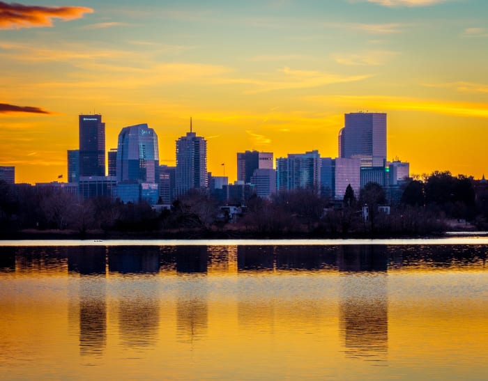
The Mile High City, with around 300 days of sunshine a year and enough neighborhood variety to fill several separate trips — history, transportation, food, and a genuinely lively cultural scene all in reach without leaving downtown. Blue hour downtown, once the city lights come up but the sky still holds color, is consistently the best window for a skyline shot.
History
Land speculators founded Denver in 1858 on a bluff above the confluence of Cherry Creek and the South Platte, as gold strikes in the nearby mountains drew prospectors west. They named it for Kansas Territorial Governor James W. Denver, and Denver City was incorporated on November 7, 1861, later shortening its name to Denver.
The city grew from a mining supply camp into a regional rail and transportation hub. Union Station, in LoDo, sits right on the 105th meridian. By the 2020 census Denver had 715,522 residents.
Photographing Denver
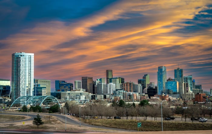
Best light: Sunset and blue hour are the go-to windows for skyline shots with the mountains behind, especially from viewpoints east of downtown looking west. Clear winter days after a storm give the sharpest, snowiest peaks; summer brings dramatic afternoon storm clouds over the foothills.
Shots to look for
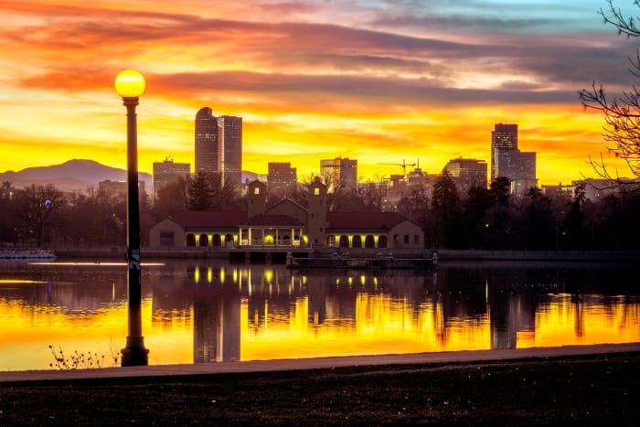
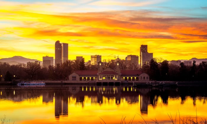
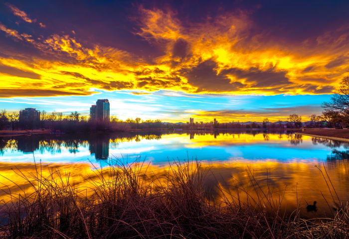
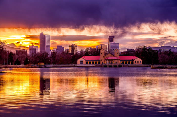
- The downtown skyline with the Front Range behind from City Park near Ferril Lake, with a telephoto to compress the peaks against the towers
- Union Station at blue hour from Wynkoop Plaza, wide angle with the lit sign as the focal point
- The Millennium Bridge and Commons Park area at dusk, using the bridge mast as a leading line
- The State Capitol dome glowing at golden hour from Civic Center Park
- Riverfront and Confluence Park where Cherry Creek meets the South Platte — the city's birthplace
Photo tips
- Long lenses (200-400mm) are what make the mountains look big behind the skyline
- Air quality and haze vary — the clearest views often come the morning after a cold front
- Drone flights are restricted in much of Denver because of airport airspace and park rules; check FAA and city rules before flying
- Parking downtown is easier early in the morning and on weekends
Know before you go
- Even at 5,280 feet, visitors from sea level can feel the altitude — drink water and take it easy the first day
- The sun is intense at altitude; sunscreen matters even in winter
- Weather changes quickly; spring snowstorms and summer hail are common
- Denver Mountain Parks are outside the city limits — check each park's rules and hours
Prints from Denver
Every photo is available as a print on metal, canvas, wood or fine art paper.





















Frequently asked questions
Where is the best place to photograph the Denver skyline with mountains?
City Park, especially around Ferril Lake and the Denver Museum of Nature and Science, is the classic spot for the skyline with the Front Range behind it.
Is Denver really a mile high?
Yes. The official 5,280-foot mark is on the steps of the Colorado State Capitol, though the city ranges from roughly 5,130 to 5,690 feet.
When was Denver founded?
Denver was founded in 1858 during the gold rush and incorporated as Denver City on November 7, 1861.
Featured in: Photography Spots Near Denver
Combine it with
Red Rocks · Golden · Berkeley Lake · Mt Evans
More Colorado spots
Lower, Middle and Upper Blue Lakes · Colorado State Capitol, Denver · Berkeley Lake
Sources & further reading: en.wikipedia.org. Conditions, fees and rules change; check with the managing agency before you go.