Eastern Plains (general)
Colorado's wide-open other half: grasslands, buttes, grain elevators and summer supercells.
About Eastern Plains
The Eastern Plains stretch from the edge of the Front Range to the Kansas and Nebraska borders, part of the High Plains at the western end of the Great Plains. The land slopes from the foothills down to about 3,400 feet where the Arkansas River leaves the state, rolling and mostly treeless, split by the South Platte and Arkansas river valleys.
This is storm country. Hot summer days feed severe thunderstorms that sometimes spin up landspouts and tornadoes, making towns like Sterling a base for storm photography. Between storms, you'll find shortgrass prairie, sandstone buttes, wheat fields, grain elevators and water towers rising from tiny farm towns.
Public lands are scattered but rewarding, especially Pawnee National Grassland in the north, with its iconic Pawnee Buttes, and Comanche National Grassland in the southeast.
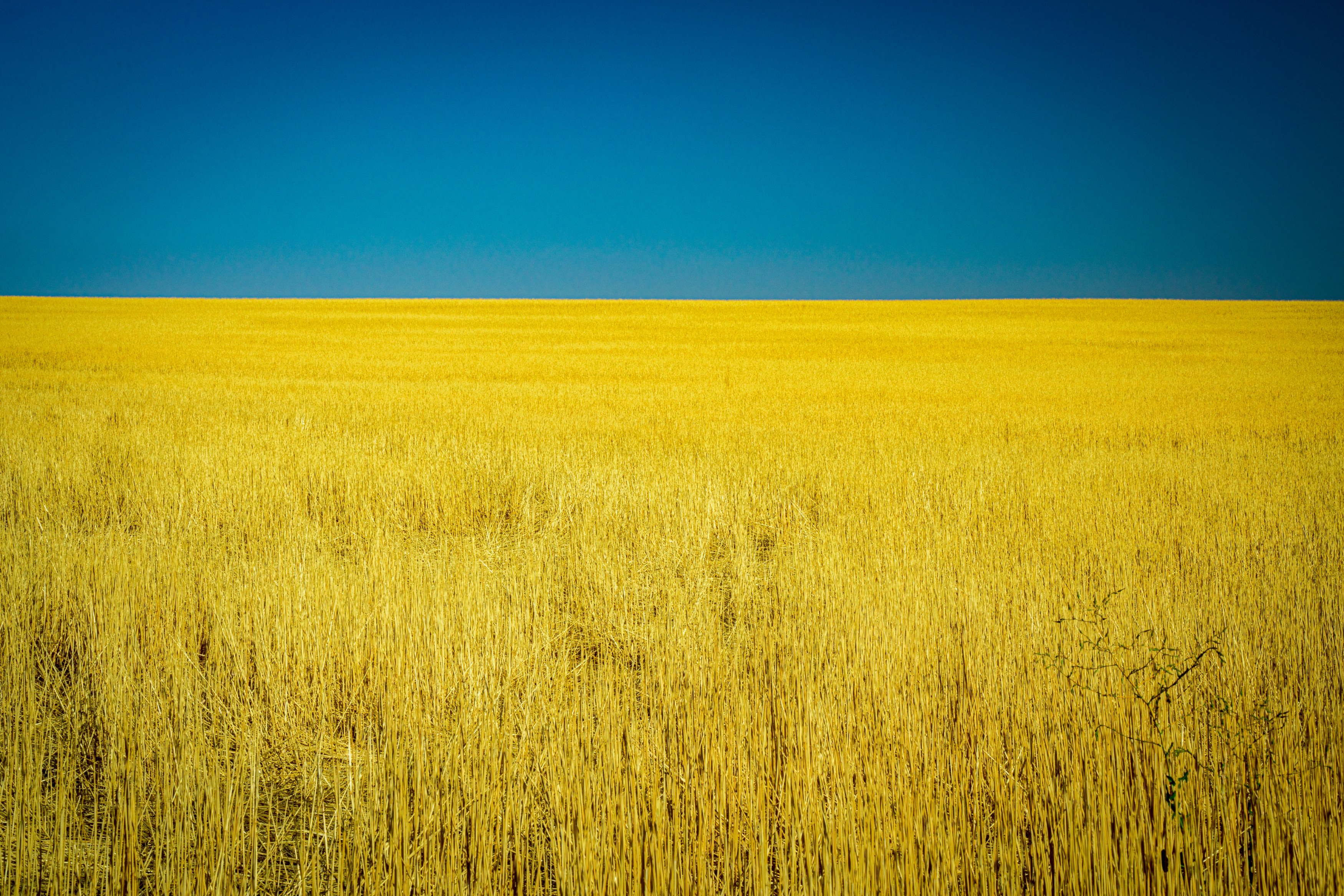
Colorado's often-overlooked eastern third — flat, open, and dominated by sky in a way the mountains never allow. Sunrise and sunset here stretch across an uninterrupted horizon, and a simple two-color composition — warm sky over dark ground, nothing else in frame — can be a more striking, more difficult shot to nail than a busier mountain scene.
History
The plains were home to Arapaho, Cheyenne, Kiowa, Pawnee and Sioux peoples, with Comanche and Jicarilla Apache in the southeast. The United States acquired the land through the 1803 Louisiana Purchase, and Zebulon Pike's 1806 expedition pushed west across it.
Homesteaders turned the grasslands to wheat and cattle, but the Dust Bowl devastated the region and drove many families to Denver. Federal programs bought up worn-out farmland, which became the Pawnee and Comanche National Grasslands. Amache National Historic Site near Granada preserves a World War II Japanese American incarceration camp.
Photographing Eastern Plains
Best light: Late afternoon and evening from May through August is prime for supercells, mammatus clouds and lightning, with storms often glowing at sunset as they drift east. Winter brings stark snow-covered fields and clear, dark skies for night work.
Shots to look for
- Supercell structure over open wheat fields, 14-24mm to capture the full storm
- Grain elevators and water towers backlit at sunset, telephoto to compress with the sky
- Pawnee Buttes rising from the shortgrass prairie at sunrise
- Lightning at night from a safe, legal pullout, long exposures on a tripod
- Lone farmhouses, windmills and fence lines in snow for minimalist frames
Photo tips
- Storm photography is dangerous; know storm structure, keep escape routes, and never chase into hail cores or poor-visibility rain
- Much of the plains is private farmland; shoot from county roads and don't enter fields
- Pawnee Buttes overlook and cliffs close March 1 to June 30 for nesting raptors
- Fuel up when you can; services are far apart
- Dirt county roads turn to slick mud after rain; a high-clearance vehicle helps
Know before you go
- Severe weather including hail and tornadoes is common in late spring and summer; monitor forecasts and warnings
- The region is among the most sparsely populated in the continental U.S.; plan for long distances without services
- Respect private property and ranch gates
Prints from Eastern Plains
Every photo is available as a print on metal, canvas, wood or fine art paper.

Frequently asked questions
When is storm season on Colorado's Eastern Plains?
Severe thunderstorms are most common from late spring through summer, generally May into August, with afternoon and evening the most active times.
When are the Pawnee Buttes closed?
The overlook, the cliffs area and a trail near the buttes close from March 1 to June 30 each year to protect nesting falcons, eagles and hawks.
What are the best places to photograph the Eastern Plains?
Pawnee National Grassland and the Pawnee Buttes in the north, Comanche National Grassland in the southeast, and the farm towns and county roads in between.
Featured in: Night Sky and Storm Photography in Colorado
Combine it with
Sterling (storm/plains) · Pawnee Buttes · Comanche National Grassland · Abbott Church
More Colorado spots
Sources & further reading: en.wikipedia.org · en.wikipedia.org. Conditions, fees and rules change; check with the managing agency before you go.