Sterling (storm/plains)
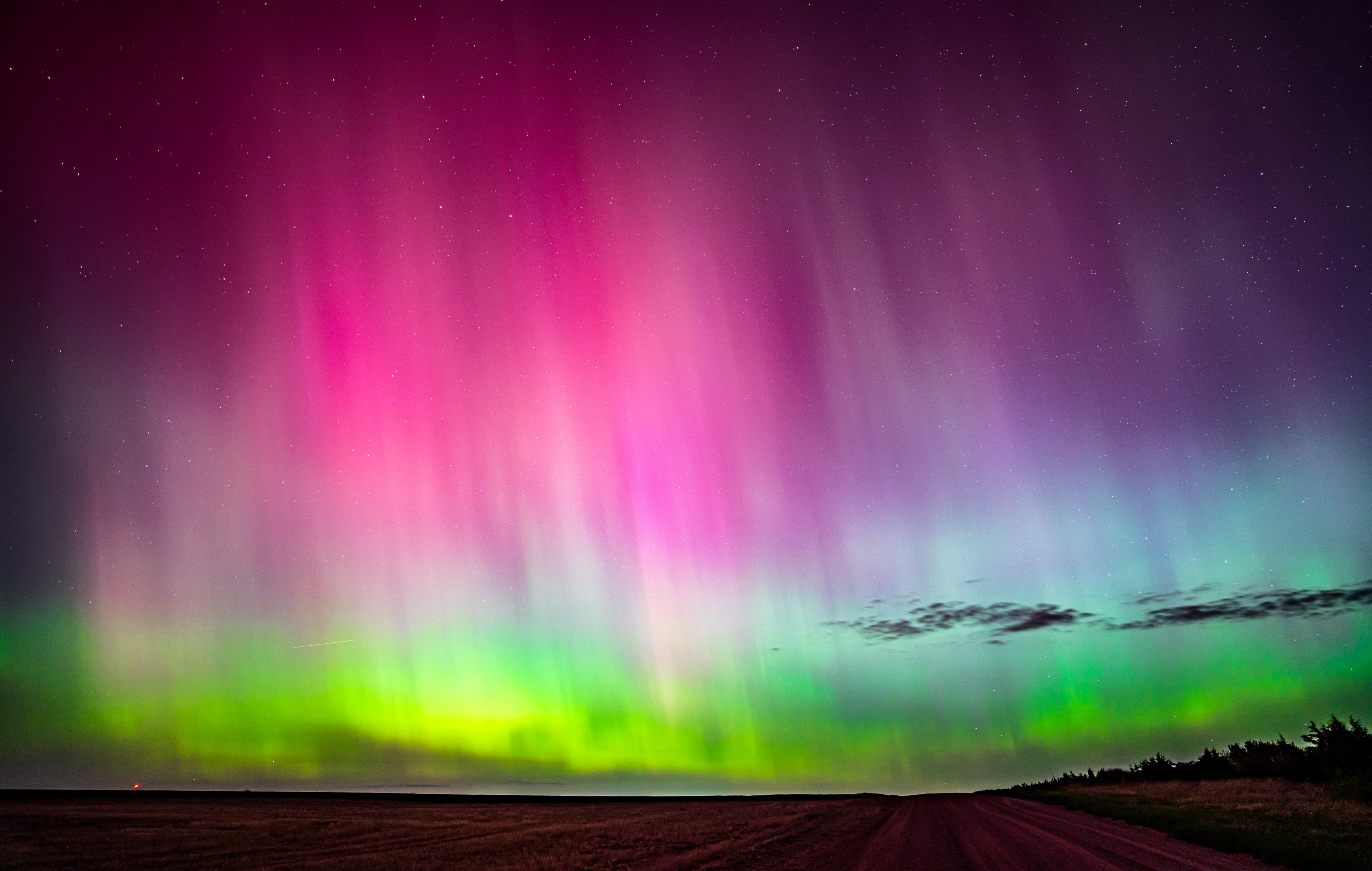
Northeast Colorado's high-plains hub, where supercells tower over endless wheat fields and open horizons.
About Sterling
Sterling is the county seat of Logan County, out on the high plains of northeast Colorado along the South Platte River and I-76, roughly 128 miles from Denver. At just over 3,900 feet, it is surrounded by farm fields, grasslands and wide-open skies.
For landscape photographers, Sterling is a base for storm season. From late spring into summer, severe thunderstorms and supercells regularly develop over northeast Colorado, and the flat terrain gives unobstructed views of structured storms, shelf clouds and lightning. North Sterling State Park, about 11 miles north of town, adds a reservoir and bluffs for foreground.
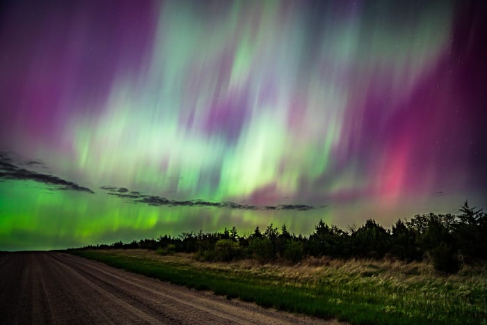
Outside storm season, the plains around Sterling offer quiet farm scenes, grain elevators, and dark skies far from city lights.
Colorado's eastern plains don't get the attention the mountains do, but they're genuinely one of the best places in the state to photograph a big sky — supercell structure, mammatus clouds, and sunset color that has nothing to block it from horizon to horizon. Spring and early summer bring the most dramatic storm activity here; keep a safe distance and a healthy respect for lightning, and the payoff is a kind of sky drama the mountains simply can't produce.
History
Sterling was settled in 1868 and incorporated in 1884, named after Sterling, Illinois, the hometown of a railroad official. It grew as a railroad and farming town on the South Platte.
North Sterling Reservoir was built by the North Sterling Irrigation District in 1911 to store water for agriculture and became a state park in 1992. Severe weather is part of local history: on May 23, 2021, for example, a supercell produced six tornadoes across Logan County, including an EF-1 about four miles southeast of Sterling.
Photographing Sterling
Best light: Storm season peaks from late spring into summer, with storms typically developing in the afternoon and evening. The best storm light often comes near sunset when the sun shines under the anvil from the west. Clear winter nights offer dark skies for astrophotography.
Shots to look for
- A supercell's striated updraft over wheat or corn fields, wide angle from a safe distance
- Lightning over the plains at dusk with a long exposure on a sturdy tripod
- Shelf clouds rolling over a grain elevator or farmstead, short telephoto
- North Sterling Reservoir bluffs with stormy skies or sunset reflections
- Milky Way over the open plains far from town lights
Photo tips
- Safety first: never put yourself in a storm's path; keep an escape route and watch radar.
- Large hail is common in northeast Colorado; protect your car and gear.
- Many dirt county roads become impassable mud after rain; stick to paved roads when storms are near.
- Respect private farmland; shoot from public roads and pullouts.
- Lightning can strike miles from a storm; stay in your vehicle when it is close.
Know before you go
- Check National Weather Service Boulder forecasts and storm outlooks before heading out.
- Cell service can be spotty on remote county roads.
- Services are limited outside Sterling and a few small towns; keep your tank full.
- North Sterling State Park requires a state park pass.
Prints from Sterling
Every photo is available as a print on metal, canvas, wood or fine art paper.




Frequently asked questions
When is storm season near Sterling, Colorado?
Severe storms are most common from late spring into summer, usually developing in the afternoon and evening.
How far is Sterling from Denver?
About 128 miles northeast via I-76.
Is it safe to chase storms near Sterling?
Storm photography carries real risks from hail, lightning and tornadoes. Keep distance, watch radar, have an escape route, and consider a guided tour if you are new to it.
Featured in: Night Sky and Storm Photography in Colorado
Combine it with
North Sterling State Park · Pawnee National Grassland · Pawnee Buttes · Eastern Plains
More Colorado spots
Boulder / The Flatirons · Kebler Pass · Abyss Trail to Helms Lake
Sources & further reading: en.wikipedia.org · weather.gov · en.wikipedia.org. Conditions, fees and rules change; check with the managing agency before you go.