Grays and Torreys Peak
Two 14ers joined by one saddle, a short drive from Denver — the Front Range's favorite double.
About Grays and Torreys Peak
Grays Peak and Torreys Peak stand side by side on the Continental Divide at the head of Stevens Gulch, just off I-70 near Bakerville, west of Georgetown. Their proximity — linked by a saddle at around 13,700 feet — makes them one of the most popular 14er doubles in the state.
The standard route up Grays is a well-built Class 1 trail of about 7.5 miles round trip with around 3,000 feet of gain. Adding Torreys via the saddle brings the day to roughly 8 to 8.5 miles and about 3,600 feet of gain.
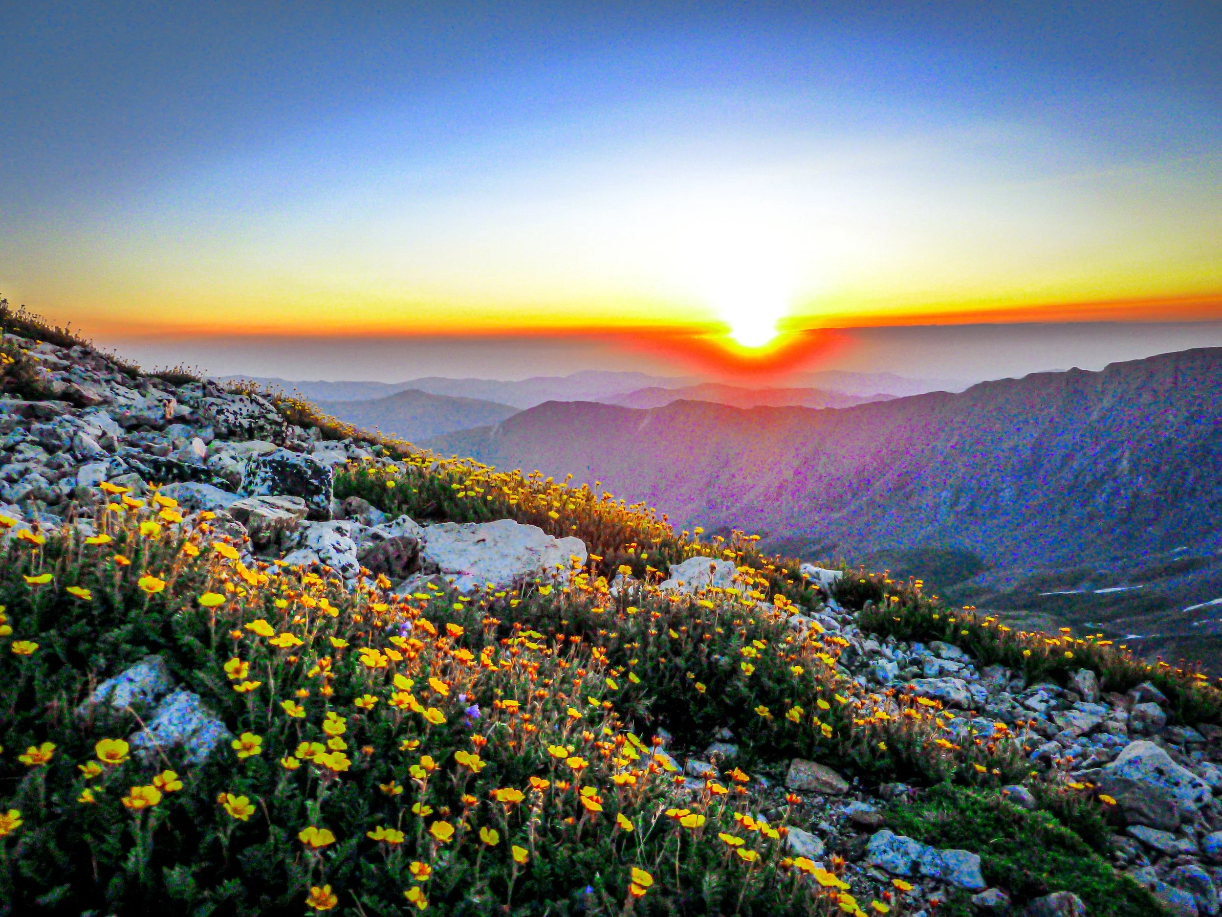
The gulch itself is a classic glacial valley, and the two summits rising at its head make a strong, symmetrical subject from the trail, especially in early light.
This 8.1-mile out-and-back near Idaho Springs follows a river for part of the route and is rated difficult, with steady traffic from hikers June through October. Dogs are welcome on leash — this is one of the more accessible fourteener pairs near the Front Range, which is exactly why it draws a crowd, and starting well before dawn gets you both summits in soft light before the trail fills in behind you.
History
Botanist Charles C. Parry made the first recorded ascent of Torreys in 1861 and named the peaks for two of the leading American botanists of the day, Asa Gray and John Torrey. The names were formally celebrated in a ceremony on Grays' summit in 1872.
Torreys straddles the line between Clear Creek and Summit counties. The Stevens Gulch area carries remnants of the region's mining past, and Kelso Ridge, a Class 3 scramble, offers a more adventurous route to Torreys.
Photographing Grays and Torreys Peak
Best light: Sunrise is the classic window: the east-facing slopes of both peaks catch alpenglow at the head of the gulch while you are on the approach. Be off the summits by early afternoon in monsoon season. Early July often brings lingering snow and the first wildflowers in the valley.
Shots to look for
- Grays and Torreys at the head of Stevens Gulch with the trail or creek as a leading line, wide angle from the lower valley at sunrise
- Torreys' steep north face from the trail near the Kelso Ridge junction with a short telephoto
- From the Grays-Torreys saddle, the sweep of the ridge connecting the peaks
- Mountain goats on the slopes, shot with a 100-400mm from a respectful distance
- Summit panoramas west across Summit County and the Gore and Tenmile ranges
Photo tips
- The upper lot fills well before sunrise on summer weekends; arrive very early or park at the lower Bakerville lot
- The last stretch of Stevens Gulch road is rough — high clearance is strongly recommended
- Mountain goats are common; never feed or approach them
- Start in the dark with a headlamp to be in position for alpenglow and down before storms
Know before you go
- The Stevens Gulch road is about 3 miles of rough dirt; low-clearance vehicles should use the lower lot and add the road mileage
- Afternoon lightning is the biggest hazard — plan to summit by late morning
- Kelso Ridge is a Class 3 scramble with loose rock; a helmet is recommended
- You will spend hours above 13,000 feet; know the signs of altitude sickness
Frequently asked questions
How long is the Grays and Torreys hike?
Grays alone is about 7.5 miles round trip with around 3,000 feet of gain. Adding Torreys brings it to roughly 8 to 8.5 miles and about 3,600 feet.
Can a car make it to the Grays Peak trailhead?
The last miles of Stevens Gulch road are rough; high clearance is strongly recommended. Low-clearance cars can park at the lower Bakerville lot and walk the road.
Who are Grays and Torreys named after?
Botanist Charles C. Parry named them for botanists Asa Gray and John Torrey.
Featured in: Colorado 14ers: Hiking and Photography Guide
Combine it with
Mt Bierstadt · Georgetown · Loveland Pass · Guanella Pass
More Colorado spots
Sources & further reading: 14ers.com · en.wikipedia.org · coloradounited.com. Conditions, fees and rules change; check with the managing agency before you go.