Loveland Pass
Drive straight onto the Continental Divide at nearly 12,000 feet, then walk the ridges for sweeping alpine views.
About Loveland Pass
Loveland Pass carries US 6 over the Continental Divide at 11,990 feet, between Clear Creek and Summit counties, about an hour west of Denver. Since the Eisenhower Tunnel opened in 1973, most I-70 traffic bypasses it, leaving the pass to sightseers, hikers, cyclists, backcountry skiers and trucks that can't use the tunnel.
The summit parking lot puts you above treeline instantly, with ridgelines climbing both east and west for short but breathless walks. Loveland Ski Area sits to the northwest and Arapahoe Basin to the south, and the road's switchbacks make for dramatic overlooks on the way up.
It is one of the easiest places near Denver to experience true alpine terrain, sunrise or sunset, without a long hike.
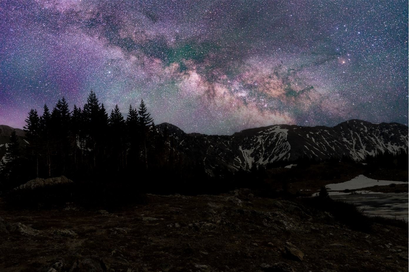
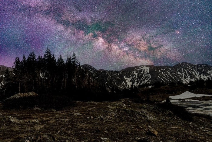
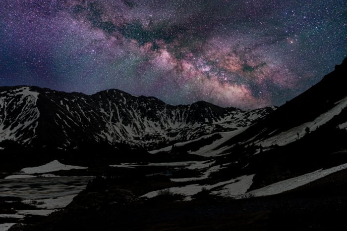
Sitting on the Continental Divide along US 6 west of Denver, this pass is treacherous enough in winter that crews have a hard time keeping it plowed on the steep, hairpin-heavy grade. It's named for William A.H. Loveland, who opened the original wagon road here in 1869 — a route that was later abandoned and then restored for vehicles in 1920, and today the summit is one of the more accessible high-altitude Milky Way spots within an hour of Denver.
History
The pass honors William A. H. Loveland, a Golden resident and president of the Colorado Central Railroad in the late 1800s. A usable trail crossed it by 1879, but the route deteriorated in the early 1900s. A modern dirt road was nearly complete in 1929, opened to commercial traffic in 1930 and was celebrated with a grand opening in 1932; paving followed in 1949-1950. After the Eisenhower Tunnel opened in 1973, US 6 became the required route for hazardous-materials loads and vehicles too tall for the tunnel.
Photographing Loveland Pass
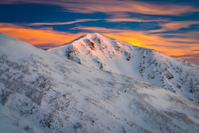
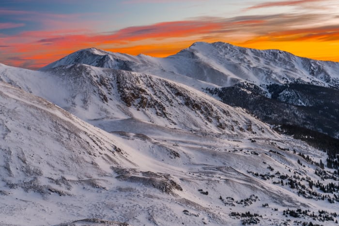
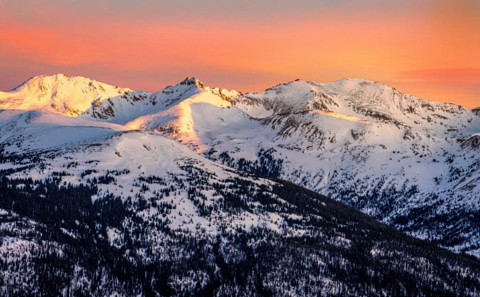
Best light: Both ends of the day work because you're right on the Divide with open horizons; sunset paints the surrounding peaks and ridges, and sunrise brings low light raking across the alpine tundra. Summer offers wildflowers along the ridges, while winter delivers snow-loaded cornices and clear, cold air.
Shots to look for
- The Continental Divide summit sign with the ridgeline climbing behind it
- Switchbacks of US 6 from the ridge above the summit lot, especially with light trails at dusk
- Ridgeline hikers silhouetted against sunset from the slopes east or west of the pass
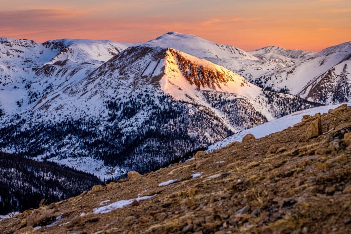
- Telephoto layers of distant Summit County peaks at golden hour (100-400mm)
- Milky Way over the Divide on clear summer nights
Photo tips
- Wind is relentless; bring a heavy tripod and warm layers even in July
- Storms build quickly in summer afternoons; you're exposed above treeline
- The pass can close during winter storms; check CDOT before heading up
- Winter slopes around the pass are avalanche terrain; carry gear and training if you leave the lot
- Stay on established paths to protect fragile tundra
Know before you go
- US 6 over the pass is the hazmat and oversize route around the Eisenhower Tunnel, so expect trucks
- Weather and winter closures are frequent; check CDOT road conditions
- Altitude is nearly 12,000 ft; acclimatize and watch for altitude sickness
- Parking at the summit lot can fill on powder days and summer weekends
Prints from Loveland Pass
Every photo is available as a print on metal, canvas, wood or fine art paper.






Frequently asked questions
How high is Loveland Pass?
The summit is 11,990 feet, right on the Continental Divide.
Is Loveland Pass open in winter?
Usually, but it can close during storms and for avalanche control. Check CDOT road conditions before you go.
Why do trucks use Loveland Pass?
Vehicles carrying hazardous materials or too tall for the Eisenhower Tunnel must cross the pass on US 6 instead.
Featured in: Winter Photography Spots in Colorado
Combine it with
Arapahoe Basin · Loveland Ski Area · Georgetown · Keystone
More Colorado spots
Moraine Park · Gore Range (general) · Eastern Plains (general)
Sources & further reading: en.wikipedia.org. Conditions, fees and rules change; check with the managing agency before you go.