Mount Massive
Colorado's second-highest peak and the biggest chunk of 14,000-foot terrain in the Lower 48, right above Leadville.
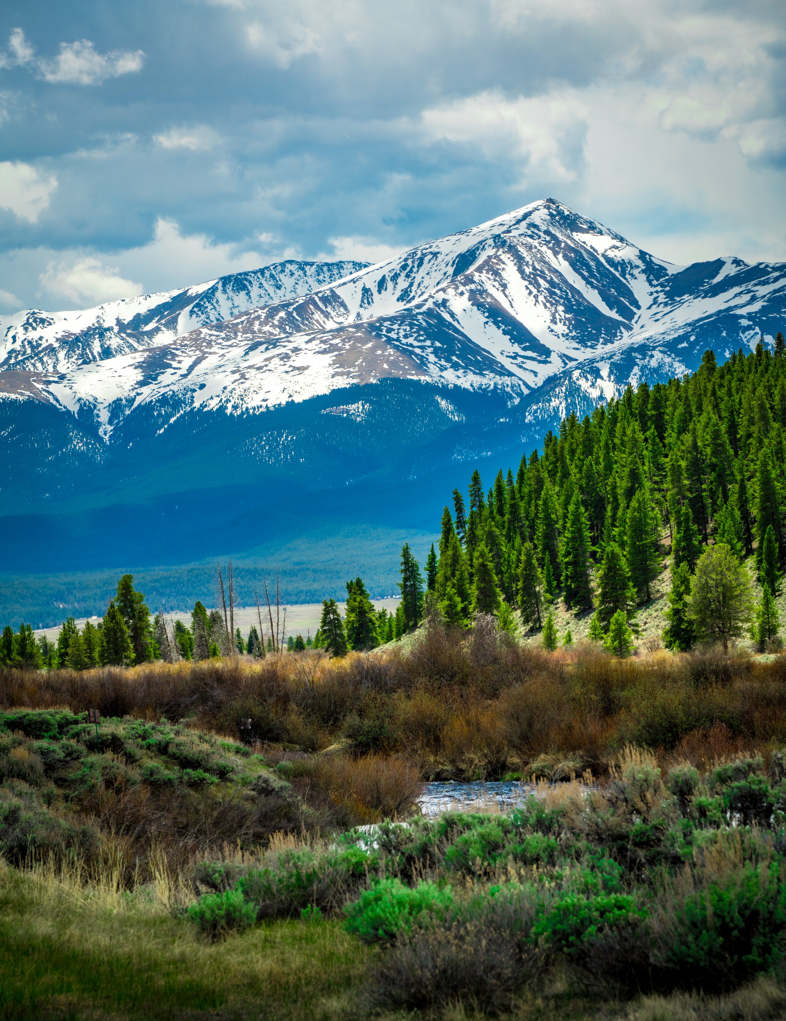
About Mount Massive
Mount Massive lives up to its name. Its summit ridge runs more than three miles with five points above 14,000 feet, giving it more area above that line than any other mountain in the contiguous U.S. It is Colorado's second-highest peak, just shy of neighboring Mount Elbert, and stands in the Mount Massive Wilderness of San Isabel National Forest, west-southwest of Leadville in Lake County.
The East Slopes route starts from the Mt. Massive trailhead on Halfmoon Creek Road, follows the Colorado Trail north, then climbs a long, steady path onto the ridge. A shorter but steeper Southwest Slopes route starts from the North Halfmoon Creek side.
It is a big day, but the summit ridge is one of the most scenic walks in the Sawatch.
A 7-mile out-and-back near Twin Lakes, recommended only for very experienced hikers, with wildflowers along much of the route. Best April through October, dogs welcome on leash — despite the name, this is a broad, rounded ridgeline rather than a single dramatic peak, so a wide panorama does more justice to it than a single vertical frame.
History
The mountain's name reflects its elongated bulk rather than any person. It sits in the Mount Massive Wilderness, part of the national forest system, and is ringed by the Halfmoon Creek drainages that also serve Mount Elbert.
The nearby town of Leadville grew from the silver boom of the late 1870s, and Mount Massive has long been the backdrop to its main street. The Colorado Trail, which the East Slopes route follows for its first miles, runs along the base of both Massive and Elbert.
Photographing Mount Massive
Best light: Sunrise on the summit ridge sends long shadows west across the Sawatch and lights Mount Elbert to the south. From Leadville or the Turquoise Lake area, the long east face catches warm morning light and fresh autumn snow beautifully.
Shots to look for
- Mount Elbert to the south from the summit, with the ridge's sub-summits leading the eye
- The serrated multi-summit ridge itself, shot with a wide angle from a false summit
- Leadville's main street with Mount Massive filling the background, telephoto at morning
- Turquoise Lake reflections with Massive behind on a calm morning
- Willows and beaver ponds along the Colorado Trail section near the trailhead in fall
Photo tips
- Drones are not allowed in the Mount Massive Wilderness.
- The East Slopes route is long; budget time for shooting and still be off the ridge before afternoon storms.
- Carry layers for wind on the summit ridge even on warm days.
- Halfmoon Creek Road is dirt; the trailhead lot is shared with Mount Elbert hikers and fills early.
Know before you go
- Start before dawn; summer thunderstorms are common by early afternoon.
- Wilderness rules apply: group size limits, no mechanized travel, pack out waste.
- Altitude is a real factor; spend a night in Leadville before attempting it.
- Snow can linger on the upper slopes into early summer.
Frequently asked questions
How long is the Mount Massive hike?
The standard East Slopes route is about 13.75 miles round trip with roughly 4,500 feet of gain. The Southwest Slopes route is shorter, about 8 miles, but steeper.
Is Mount Massive harder than Mount Elbert?
It is rated Class 2 versus Elbert's Class 1 and the standard route is longer, so most hikers find it more demanding.
Why is it called Mount Massive?
Because of its bulk: its ridge runs more than three miles with five summits above 14,000 feet.
Featured in: Colorado 14ers: Hiking and Photography Guide
Combine it with
Mt Elbert · Turquoise Lake · Leadville · Twin Lakes
More Colorado spots
Sources & further reading: en.wikipedia.org · 14ers.com · 14ers.com. Conditions, fees and rules change; check with the managing agency before you go.