Shrine Pass
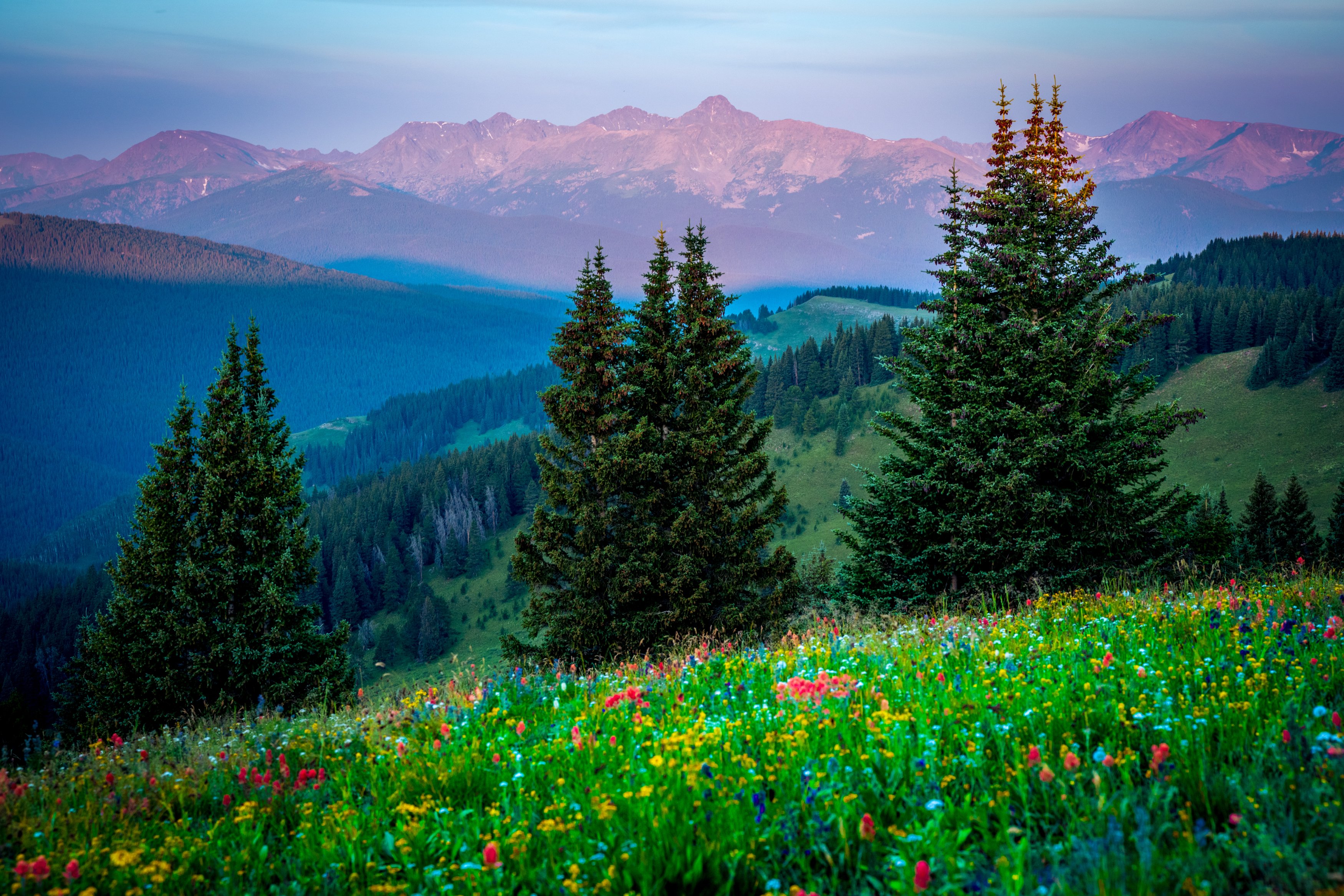
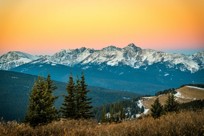
A high dirt road off Vail Pass with wildflower meadows and a distant view of Mount of the Holy Cross.
About Shrine Pass
Shrine Pass is an 11,094-foot pass about two miles northwest of Vail Pass, crossed by a narrow unpaved road that runs from the I-70 Vail Pass area down to the small town of Red Cliff in the upper Eagle River valley. It is mostly a high-clearance route, though sturdy 2WD vehicles can usually make it in good conditions.
The Shrine Ridge Trail starts near the pass and climbs gently through open meadows famous for wildflowers, then up to red sandstone outcrops with views of Mount of the Holy Cross and the Gore Range. It is about 2.2 miles one way with modest gain, which makes it one of the easiest high-alpine wildflower hikes in the Vail area.
In fall the road is popular for color, and in winter it becomes a snowmobile and backcountry ski route.
One of the most accessible high-alpine wildflower displays in the state, reached by a 2WD-passable dirt road off I-70 between Vail and Copper Mountain. Shrine Ridge Trail climbs to a ridge that's genuinely wall-to-wall color by mid-July, with Mount of the Holy Cross visible on the horizon — get low with a wide lens so the closest flowers are big in the frame and the peaks still read clearly behind them.
History
Shrine Pass is closely tied to Mount of the Holy Cross, the peak that drew pilgrims to this part of Colorado in the early twentieth century, and the pass offers a distant view of it to the north; the Shrine Ridge Trail is named for that view. The road over the pass links the Vail Pass corridor with Red Cliff, a small town on the upper Eagle River.
Today the area lies within White River National Forest and the Vail Pass recreation area, used heavily in winter for snowmobiling and skiing. Skiers often shuttle a car from Vail to Red Cliff and ski the long descent down the road.
Photographing Shrine Pass
Best light: Morning brings calm air for wildflower close-ups and side light on the meadows; Mount of the Holy Cross lies to the west and catches warm evening light. Wildflowers typically peak mid to late July after the snow melts, and early-season drifts can linger into July.
Shots to look for
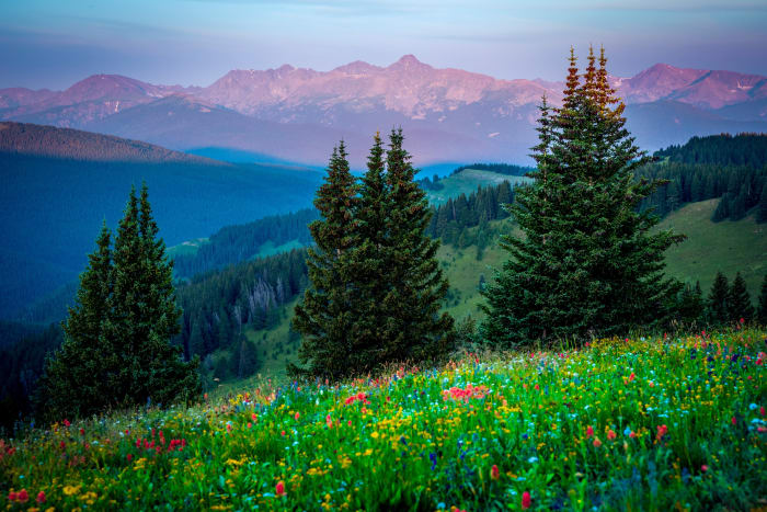
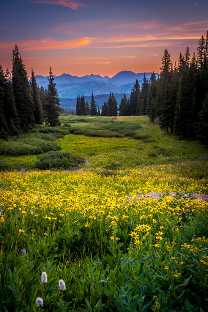
- Wildflower meadows along the Shrine Ridge Trail with peaks behind, wide angle low to the ground
- Mount of the Holy Cross at sunset with a telephoto from the ridge
- Red sandstone outcrops on Shrine Ridge with the Gore Range in the distance
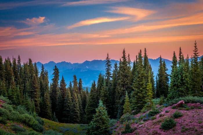
- Fall color along the Shrine Pass road toward Red Cliff
Photo tips
- The trailhead lot fills on summer weekends; come early.
- Stay on the trail; meadows are fragile and heavily visited.
- Mud and snow drifts linger into July; waterproof boots help.
- Check current dog rules for the Shrine Ridge Trail before bringing a pet; sources differ.
Know before you go
- Shrine Pass Road is unpaved and narrow; conditions vary, and it is not maintained for cars in winter.
- In winter the area is a motorized and non-motorized recreation zone; fees may apply at Vail Pass.
- Weather changes quickly above 11,000 ft; afternoon storms are common in summer.
- Red Cliff has limited services.
Prints from Shrine Pass
Every photo is available as a print on metal, canvas, wood or fine art paper.




Frequently asked questions
How long is the Shrine Ridge Trail?
About 2.2 miles one way with roughly 750 to 850 feet of gain, depending on the source.
Can you drive Shrine Pass in a car?
It is an unpaved road best suited to high-clearance vehicles, though sturdy 2WD vehicles can often manage in dry summer conditions.
When do wildflowers peak at Shrine Pass?
Usually mid to late July, after the snow melts from the high meadows.
Featured in: Winter Photography Spots in Colorado · Best Wildflower Hikes in Colorado
Combine it with
Vail Pass · Red Cliff · Mount Holy Cross and Halo Ridge · Camp Hale
More Colorado spots
Sources & further reading: en.wikipedia.org · hikingproject.com · discovervail.com. Conditions, fees and rules change; check with the managing agency before you go.