Mayflower Gulch
A short walk from Highway 91 to old mining cabins under a wall of Tenmile Range peaks.
About Mayflower Gulch
Mayflower Gulch is a high basin on the east side of Colorado Highway 91, between Copper Mountain and Fremont Pass in Summit County. A paved lot sits right on the highway near 11,000 feet, and an old mining road leads gently up the valley to the ruins of the Boston Mine camp.
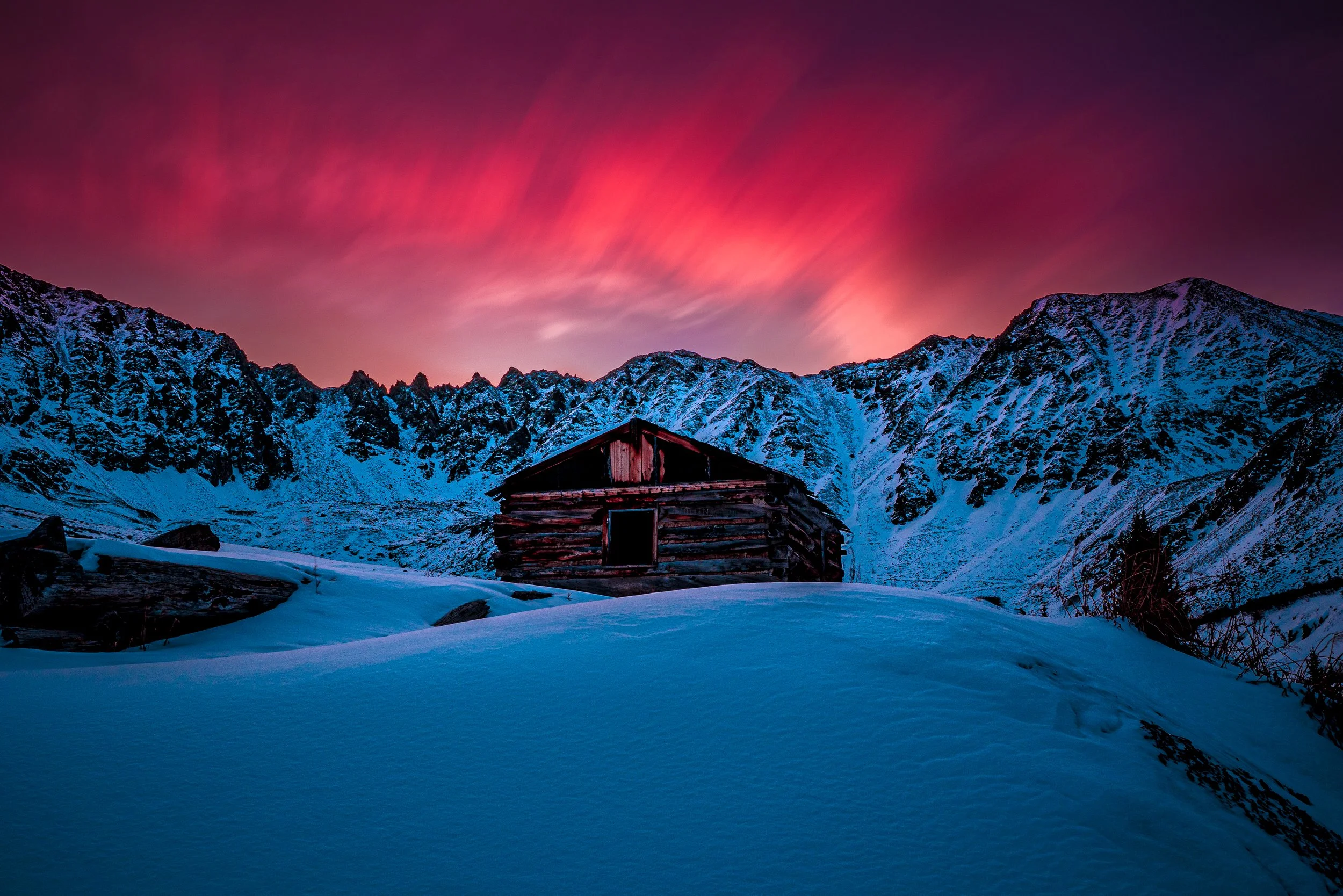
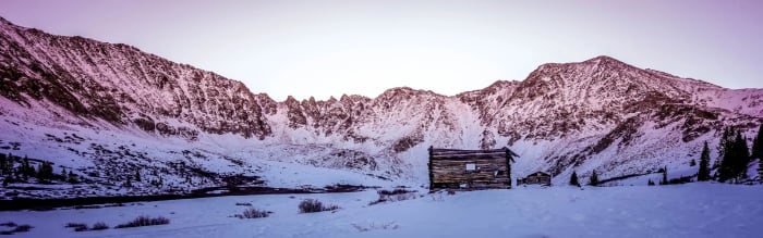
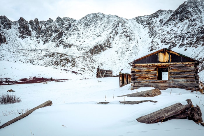
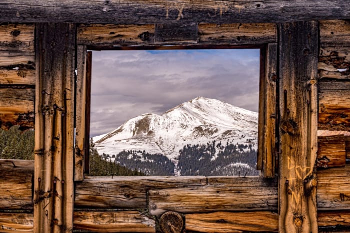
The gulch ends in a dramatic amphitheater formed by Fletcher Mountain, Pacific Peak and Atlantic Peak, all close to 14,000 feet. The cabins and leaning buildings in front of that wall make it one of the easiest big-mountain photographs in the state.
Most people walk 3 to 6 miles round trip with roughly 500 to 1,200 feet of gain, depending on how far into the basin they go. It's popular year-round, including in winter on snowshoes and skis.
A 6.1-mile round trip near Climax that's become one of Summit County's most photographed basins, thanks to an old mining cabin sitting below a wall of peaks. Wildflowers carpet the approach through summer, and it's mellow enough to bring almost anyone along — the cabin works as a strong foreground anchor for a wide shot, or isolate it with a longer lens against the peaks for a more intimate composition.
History
Miners worked the gulch in the late 1800s after finding a thick vein of gold ore, building cabins, a boarding house and tram lines at what became the Boston Mine camp. The ore proved too impure to mine profitably, and the camp was abandoned. Remains of the cabins still stand near the head of the valley, and visitors are asked to leave them and any artifacts undisturbed.
Photographing Mayflower Gulch
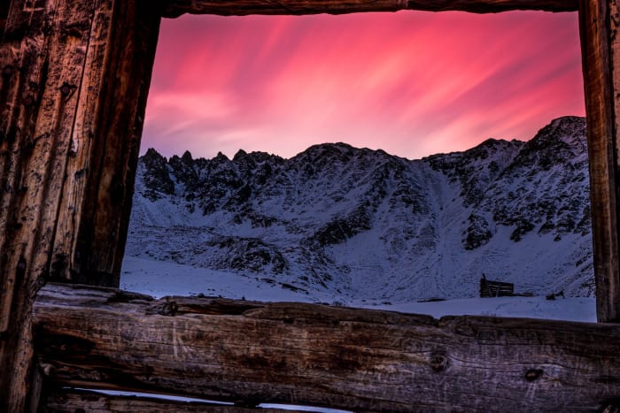
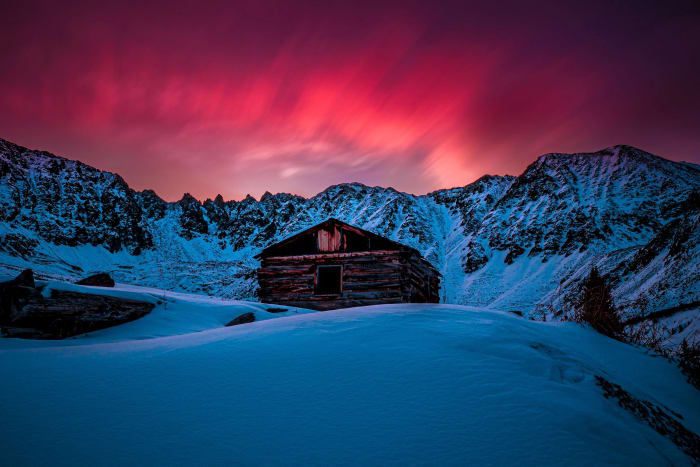
Best light: The peaks ring the gulch to the east and south of the cabins, so their faces take warm side and front light late in the day and at sunset alpenglow, while sunrise gives softer backlit and side-lit scenes. Wildflowers peak in July into early August, and winter scenes with snow-loaded cabins are among the best here.
Shots to look for
- The Boston Mine cabins with Fletcher Mountain and Pacific Peak behind, using a 16-35mm and a low angle.
- A telephoto shot of the cirque walls catching alpenglow at sunrise.
- Wildflowers along the old road framing the leaning buildings in July.
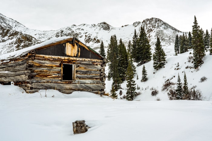
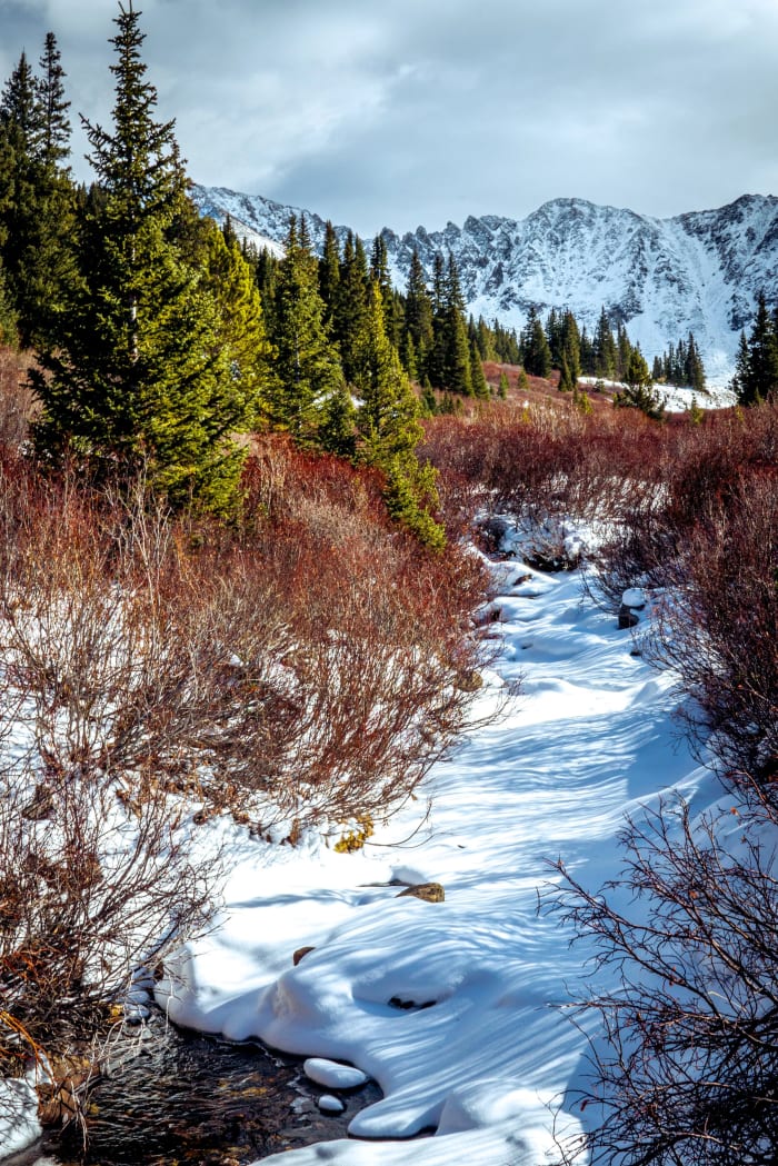
- Winter snowshoe shots of the cabins buried in snow under a clear blue sky.
Photo tips
- Arrive early; the lot fills on summer and powder-day weekends.
- Respect the cabins: don't climb on or enter unstable structures, and don't remove artifacts.
- In winter, check the avalanche forecast before venturing beyond the cabins; the slopes above are avalanche terrain.
- At 11,000-plus feet, expect wind and cold even in summer; pack layers.
Know before you go
- The trailhead is right off CO 91, which can be icy in winter; 4WD or chains may be needed after storms.
- The basin above the cabins is avalanche terrain in winter and spring.
- There are no fees mentioned for the trailhead, but conditions and rules can change; check with the Forest Service.
- Starting near 11,000 feet, the altitude hits harder than the mileage suggests.
Prints from Mayflower Gulch
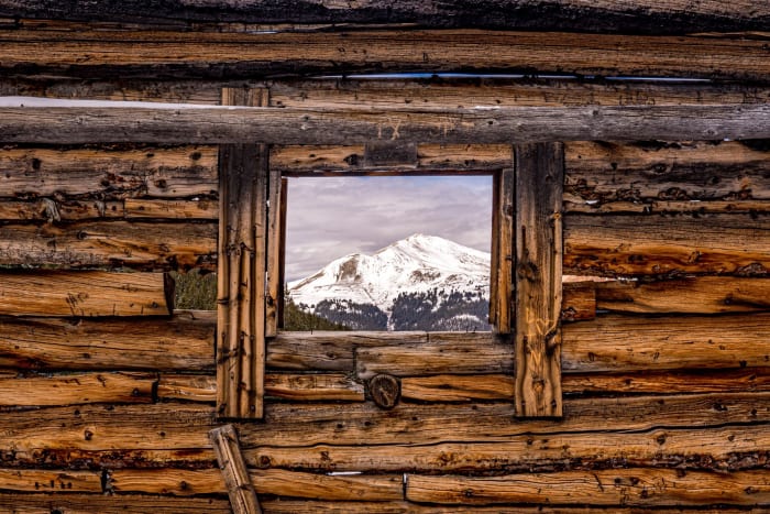
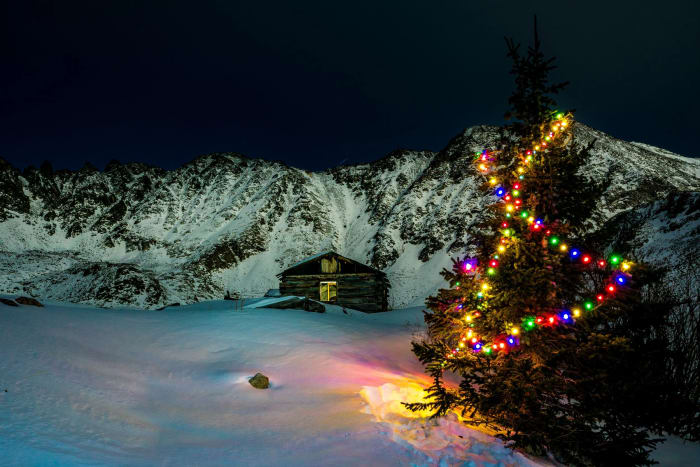
Every photo is available as a print on metal, canvas, wood or fine art paper.









Frequently asked questions
How long is the Mayflower Gulch hike?
It's about 1.5 to 3 miles one way depending on how far into the basin you go; most people walk 3 to 6 miles round trip.
Can you snowshoe Mayflower Gulch?
Yes, it's a popular winter snowshoe and ski destination. Check the avalanche forecast before going past the cabins.
Where is the Mayflower Gulch trailhead?
On the east side of Colorado Highway 91 between Copper Mountain and Fremont Pass, about 17 miles north of Leadville.
Featured in: Best Sunrise Photography Spots in Colorado · Easy Colorado Hikes With Big Views · Winter Photography Spots in Colorado · Best Wildflower Hikes in Colorado
Combine it with
Copper Mountain · Fremont Pass · Leadville · Clinton Gulch Reservoir
More Colorado spots
Sources & further reading: leadvilletwinlakes.com · backpacker.com · thenextsummit.org · en.wikipedia.org. Conditions, fees and rules change; check with the managing agency before you go.