Rocky Mountain National Park Photography Guide
By Chris Heaton · access details checked October 2026
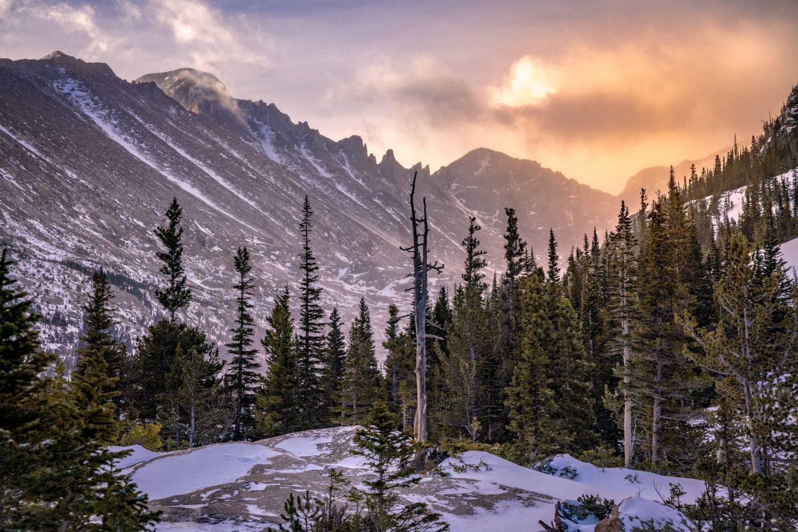
Rocky Mountain National Park packs more alpine lakes, granite peaks and wildlife into a day's drive from Denver than anywhere else in the state. It's also one of the busiest national parks in the country, with a reservation system to match. With a little planning you can be at a calm lake at sunrise with the peaks lighting up and almost nobody around. This guide covers how entry works, the lakes and overlooks worth your time, wildlife etiquette and what changes in winter.
Timed entry and fees
From late May to mid-October, the park uses timed entry reservations during the busiest hours. You book a two-hour arrival window on Recreation.gov and can stay as long as you like once inside. Entry outside the reserved hours needs only a park pass, which is the photographer's advantage: sunrise is usually free of the reservation system.
- 2026 season: May 22 to October 12 for the park, and through October 18 for Bear Lake Road.
- Most of the park: a reservation is needed for arrivals from 9 a.m. to 2 p.m.
- Bear Lake Road corridor (Timed Entry+): a reservation is needed from 5 a.m. to 6 p.m. and also covers the rest of the park. Arrive before 5 a.m. for sunrise without one.
- Reservations open at 8 a.m. Mountain Time on the 1st of the month before (for example, July 1 for August dates), with more released at 7 p.m. the night before. Each costs a $2 booking fee.
- Entrance fees: $30 for a one-day vehicle pass, $35 for seven days, $70 for an annual park pass. Non-US residents 16 and older pay an extra $100 per person unless they hold an annual or America the Beautiful pass.
- Free shuttles run from the Park & Ride on Bear Lake Road from 6:30 a.m. to 7:30 p.m. in season, and a Hiker Shuttle runs from the Estes Park Visitor Center (a $2 ticket).
The Bear Lake corridor
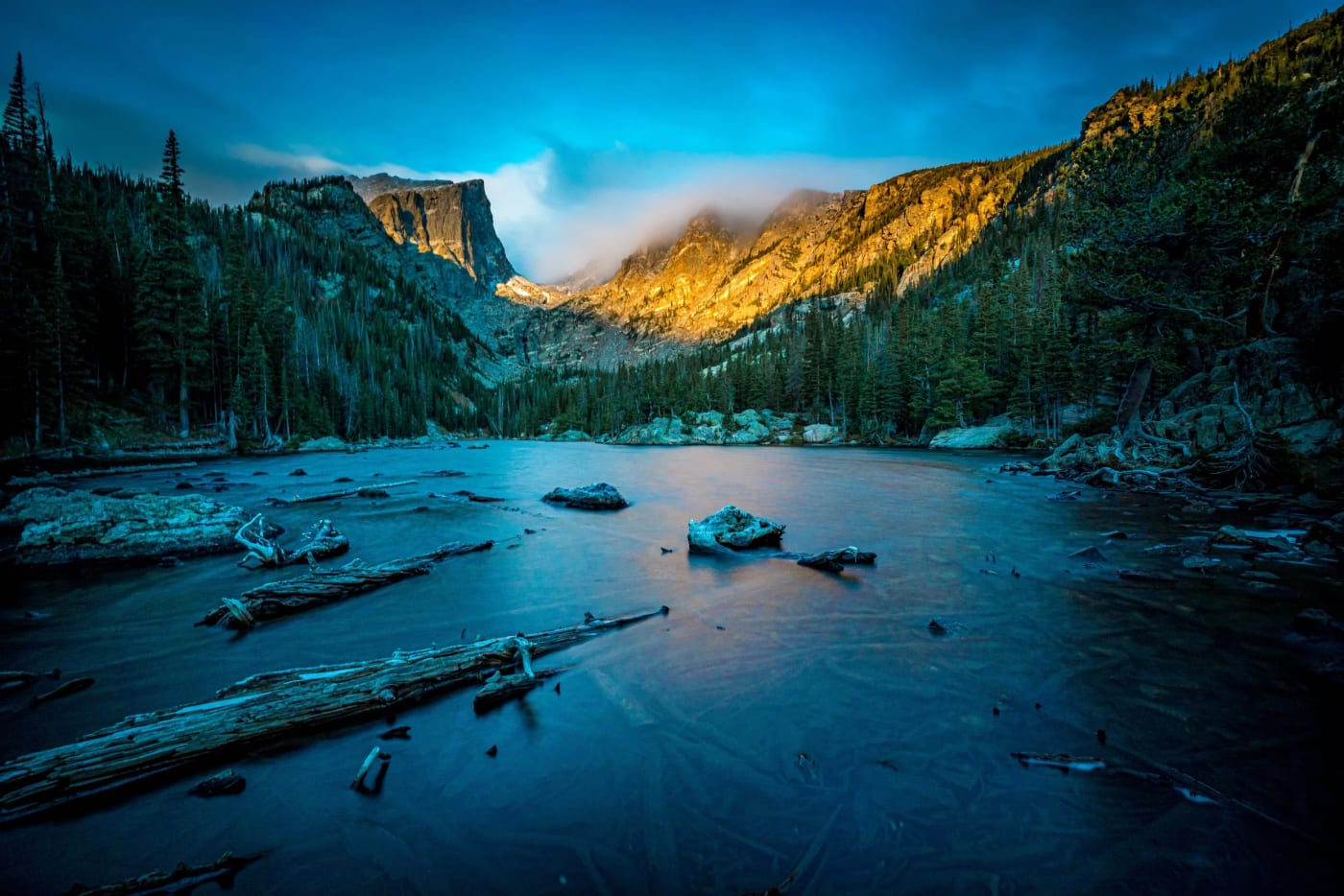
The Bear Lake trailhead (9,475 feet) is the start for the park's most famous lakes. Most of them face west toward Hallett Peak and Flattop Mountain, so sunrise lights the peaks while the water is still calm. Arrive in the dark to get the reflection before the wind picks up.
Bear Lake
- Getting there
- A half-mile loop with almost no climbing.
- What to shoot
- Hallett Peak and Longs Peak over the lake; golden aspen on the east shore in late September.
Nymph Lake
- Getting there
- 1 mile round trip, 225 feet of gain.
- What to shoot
- Pond lilies through the summer with Hallett Peak behind.
Dream Lake
- Getting there
- 2.2 miles round trip, 425 feet of gain.
- What to shoot
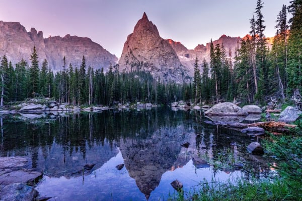
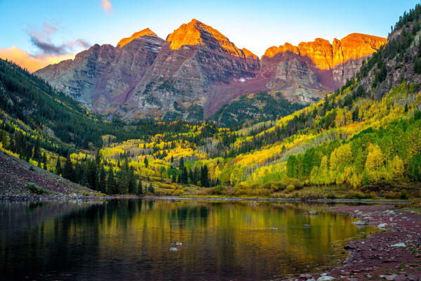
- The classic: Hallett Peak turning orange at sunrise over glassy water, with weathered limber pines along the shore. In winter it freezes into wind-polished ice.
Emerald Lake
- Getting there
- 3.6 miles round trip; the lake sits at 10,110 feet.
- What to shoot
- Hallett Peak's face and Flattop's spires rising straight out of the water.
Lake Haiyaha
- Getting there
- 4.2 miles round trip, 745 feet of gain.
- What to shoot
- Boulders and twisted pines under Hallett and Otis Peaks. A 2021 rockslide changed the lake's color to milky turquoise.
Bierstadt Lake
- Getting there
- 3.2 miles round trip from Bear Lake, or 2.8 miles from the Bierstadt trailhead.
- What to shoot
- A wide view of the Continental Divide across the lake; a quieter alternative to Dream Lake.
Lake Helene and Odessa Lake
- Getting there
- Lake Helene is 5.8 miles round trip; Odessa Lake is 8.2 miles round trip from Bear Lake.
- What to shoot
- Notchtop Mountain's east face at sunrise, reflected in Lake Helene.
Sprague Lake
- Getting there
- A flat half-mile loop, wheelchair accessible.
- What to shoot
- The Continental Divide from the far end of the lake at sunrise. One of the easiest big views in the park.
Glacier Gorge
The Glacier Gorge trailhead (9,240 feet) on Bear Lake Road leads into two deep glacial valleys. Start before dawn to reach the lakes in good light.
Alberta Falls
- Getting there
- 1.6 miles round trip, 160 feet of gain.
- What to shoot
- A 30-foot cascade in a granite chute; aspen along the trail in fall.
Mills Lake
- Getting there
- About 5–5.6 miles round trip, roughly 750 feet of gain.
- What to shoot
- Longs Peak, Pagoda and the Keyboard of the Winds above a lake full of granite slabs.
Black Lake
- Getting there
- 10 miles round trip, 1,430 feet of gain.
- What to shoot
- Waterfalls pouring off a granite headwall beneath McHenry's Peak.
The Loch
- Getting there
- About 6 miles round trip, roughly 1,000 feet of gain.
- What to shoot
- Taylor Peak and the Sharkstooth at the head of Loch Vale, with driftwood logs along the shore.
Sky Pond
- Getting there
- About 9.8 miles round trip, 1,710 feet of gain, including a wet scramble beside Timberline Falls.
- What to shoot
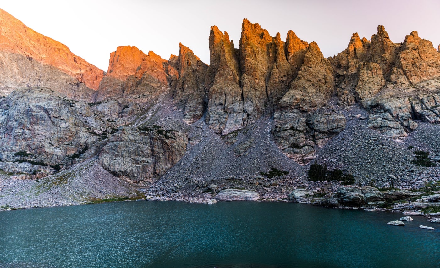
- The Sharkstooth spires above the pond, Lake of Glass on the way, and Timberline Falls.
- Good to know
- Skip the scramble when it's wet, snowy or icy.
Longs Peak and Wild Basin
The southeast corner of the park is quieter and wetter, with waterfalls and the park's tallest peak.
Chasm Lake
- Getting there
- 8.4 miles round trip, about 2,360 feet of gain.
- What to shoot
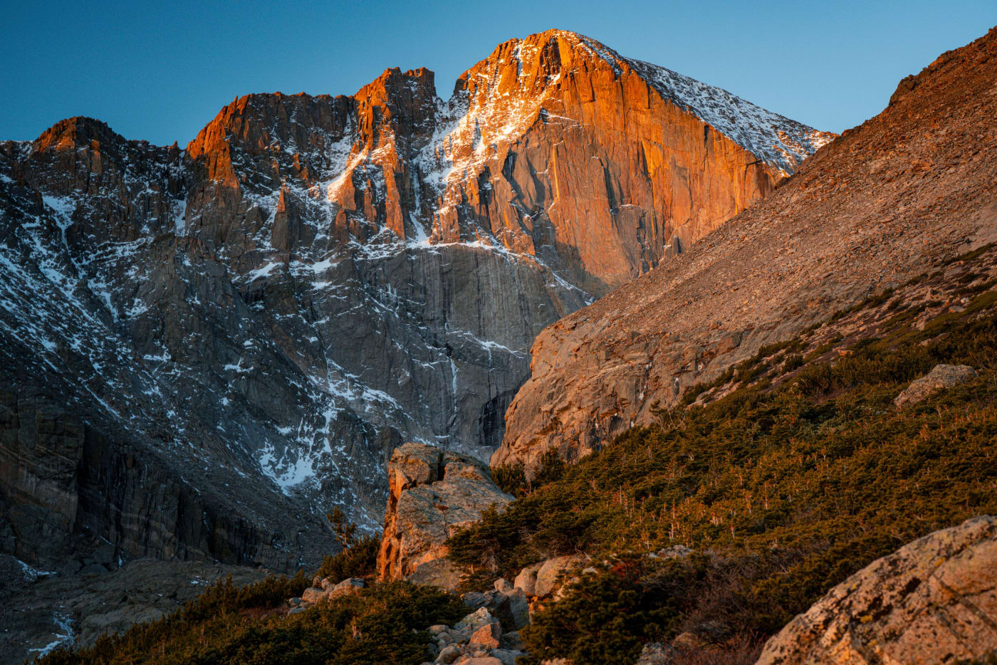
- The Diamond on Longs Peak's east face burning orange at sunrise. Columbines near Columbine Falls in July.
- Good to know
- Start around 3 a.m. to arrive for sunrise. A snowfield near Peacock Pool can be dangerous in winter and spring.
Copeland Falls
- Getting there
- 0.6 miles round trip, almost flat.
- What to shoot
- Small cascades on North St. Vrain Creek; great on overcast days.
Calypso Cascades
- Getting there
- 3.6 miles round trip, 700 feet of gain.
- What to shoot
- A long cascade through the forest; calypso orchids bloom nearby in early summer.
Ouzel Falls
- Getting there
- 5.4 miles round trip, 950 feet of gain.
- What to shoot
- A 40-foot waterfall; spring runoff makes it roar.
Ouzel and Bluebird Lakes
- Getting there
- Ouzel Lake is 9.8 miles round trip; Bluebird Lake is 12 miles round trip with about 2,500 feet of gain.
- What to shoot
- Remote subalpine lakes beneath Ouzel Peak and Mahana Peak, with few other people.
Estes Park side: low and easy
Lily Lake
- Getting there
- A flat 1-mile loop just outside the main entrances on CO 7.
- What to shoot
- Longs Peak and Mount Meeker over the lake; spring and early-summer wildflowers.
Gem Lake
- Getting there
- 3.4 miles round trip, 830 feet of gain from the Lumpy Ridge trailhead.
- What to shoot
- Granite domes and a small lake in the rocks, with views of Longs Peak. The Park Service calls it a great year-round hike.
Alluvial Fan
- Getting there
- A short walk off the Endovalley road.
- What to shoot
- A boulder field left by the 1982 Lawn Lake dam failure, and Horseshoe Falls on the Roaring River.
Moraine Park and Cub Lake
- Getting there
- Cub Lake is 4.6 miles round trip; the meadow loop is easy.
- What to shoot
- Fog and frost in the meadow at sunrise, elk in fall, and lily pads on Cub Lake.
Fern Lake trail
- Getting there
- The Pool is 3.4 miles round trip, Fern Falls 5 miles, Fern Lake 7.6 miles.
- What to shoot
- The Big Thompson River, waterfalls and a quiet lake under Notchtop.
Trail Ridge Road
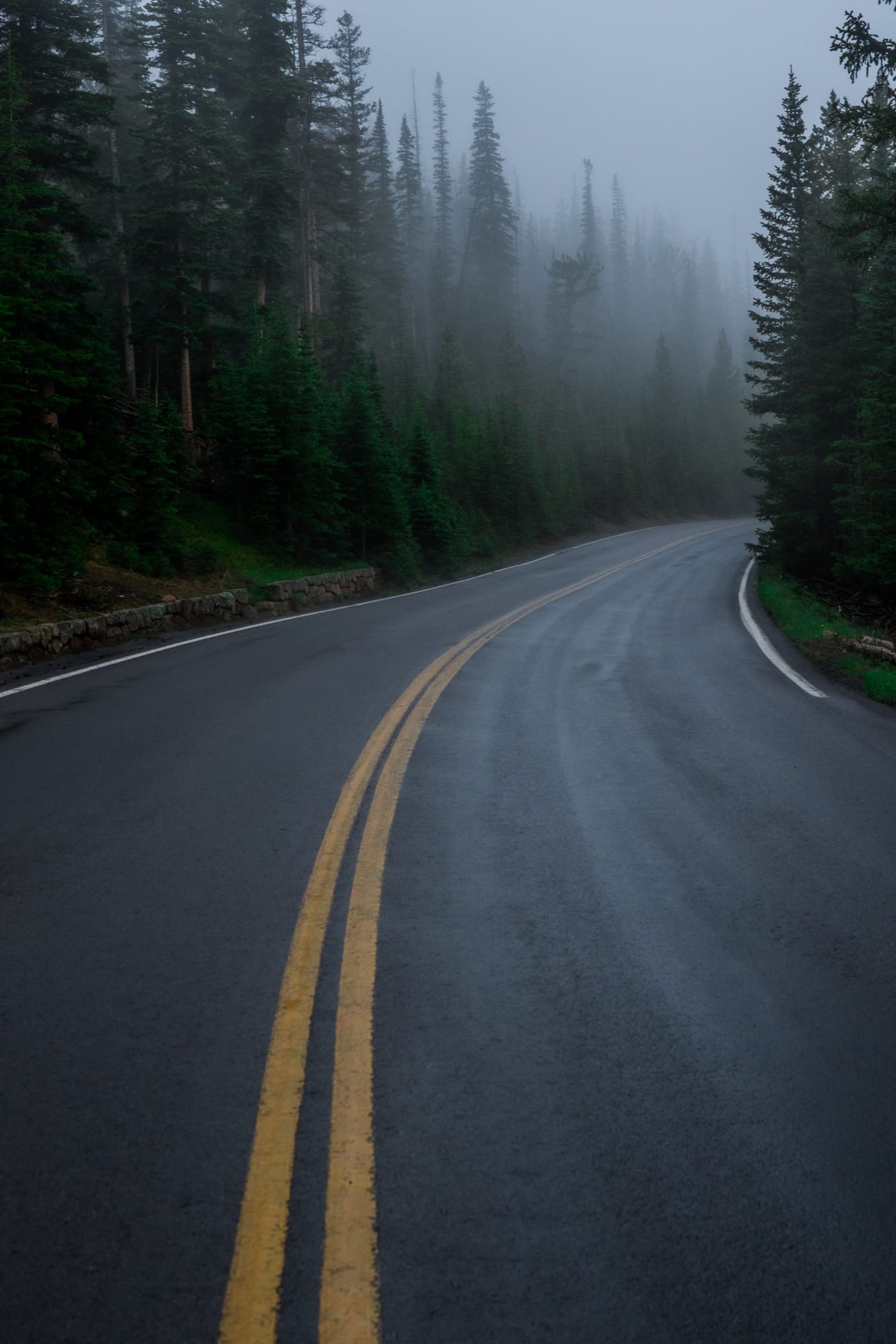
The highest continuous paved road in the country climbs 48 miles from Estes Park to Grand Lake, topping out at 12,183 feet, with about 11 miles above treeline. It usually opens around the last week of May and closes to through traffic in fall (it closed on November 14 in 2025).
- Old Fall River Road is a 9.4-mile, one-way gravel road up to the Alpine Visitor Center, usually open to cars from early July to early October; no vehicles over 25 feet or trailers. After it closes, it's open to walkers and cyclists.
- Weather above treeline changes fast. Bring a warm layer even in July, and get off exposed ground when thunderstorms build.
Many Parks Curve (9,640 ft)
- What to shoot
- Moraine Park and the peaks of the Divide; a good sunrise pullout.
Rainbow Curve (10,829 ft)
- What to shoot
- Views down Horseshoe Park and the Alluvial Fan, and sunrise over the plains.
Forest Canyon Overlook (11,716 ft)
- What to shoot
- A short walk to a view straight down Forest Canyon to the Gorge Lakes.
Rock Cut and the Tundra Communities Trail (12,050 ft)
- Getting there
- 1 mile round trip, 200 feet of gain.
- What to shoot
- Alpine tundra flowers in July, granite outcrops and the Never Summer Range.
Alpine Visitor Center (11,796 ft)
- What to shoot
- The highest visitor center in the National Park Service, above the Fall River cirque.
Farview Curve (10,120 ft)
- What to shoot
- The Kawuneeche Valley and the Never Summer Mountains, the park's only volcanic range, with the Grand Ditch cut across them.
The west side: Kawuneeche Valley and Grand Lake
The west side gets a fraction of the east side's traffic and is the best place in the park to see moose.
Colorado River trailhead and Lulu City
- Getting there
- Half a mile to the young Colorado River; about 3.1–3.7 miles one way to the site of Lulu City, an 1880s mining town.
- What to shoot
- Moose and elk in the willows at dawn and dusk; the river meandering through the valley.
Holzwarth Historic Site
- Getting there
- A level half-mile walk to a 1920s dude ranch; buildings staffed in summer.
- What to shoot
- Old ranch cabins with the Never Summer Mountains behind.
Coyote Valley
- Getting there
- A level 1-mile round trip.
- What to shoot
- The Colorado River and the Never Summers; moose and elk early and late.
Adams Falls and East Inlet
- Getting there
- 0.6 miles round trip to the falls; Lone Pine Lake is 11 miles round trip.
- What to shoot
- A waterfall in a granite gorge, then meadows where moose are often seen.
Lake Irene
- What to shoot
- A small subalpine lake ringed by spruce, good for wildflowers and reflections.
Wildlife, and the fall elk rut
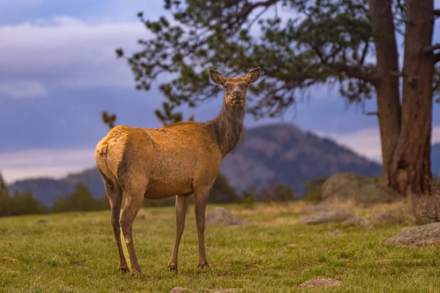
Elk, mule deer, moose, bighorn sheep, marmots and pikas are all common. The rule is to stay at least 75 feet from all wildlife, and the Park Service advises at least 120 feet from bears, moose and mountain lions. Use a long lens: 400mm or more lets you fill the frame without crowding an animal.
The elk rut runs from roughly September into October, when bulls bugle and gather harems in the meadows. To protect them, Horseshoe Park, Upper Beaver Meadows, Moraine Park, Harbison Meadow and Holzwarth Meadow are closed to off-trail travel from 5 p.m. to 10 a.m., September 1 through October 31. Photograph from the roads and pullouts, don't use elk calls or spotlights, and expect heavy evening traffic.
Winter in the park
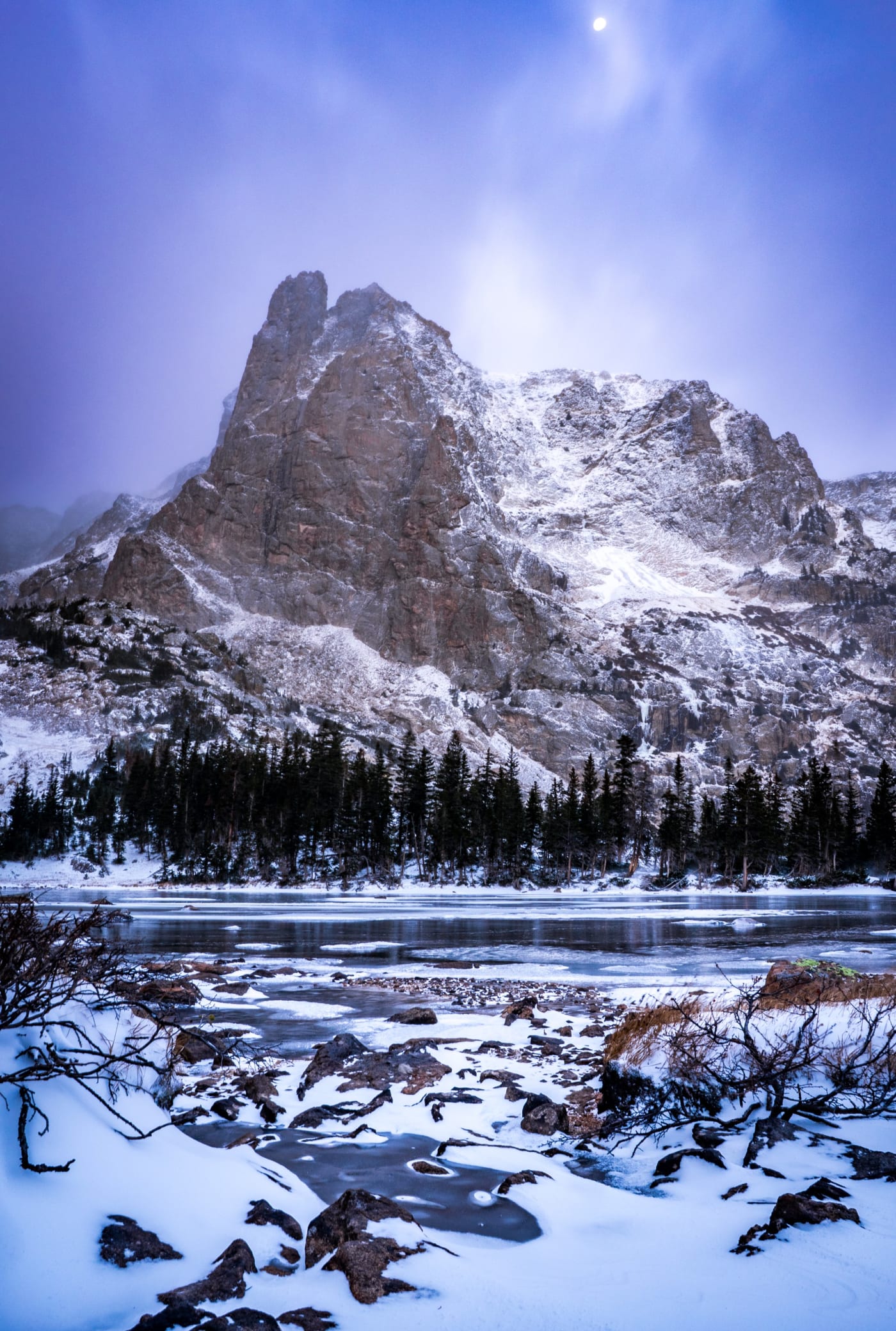
Winter is quiet and beautiful, and timed entry doesn't apply. Bear Lake Road stays open year-round, so Bear Lake, Sprague Lake and the frozen Dream and Emerald Lakes are reachable on snowshoes or microspikes. Trail Ridge Road closes to through traffic, but you can drive to Many Parks Curve on the east side and the Colorado River trailhead on the west.
- Snow-covered lakes can be crossed in deep winter, but stay off ice near inlets and outlets, and check avalanche conditions before going past Emerald Lake or into Chasm Lake.
- Wind is the norm. Wind-polished blue ice on Dream and Emerald Lakes is one of the park's best winter subjects.
- Days are short: sunrise light at Dream Lake comes later and lower, so you can sleep in compared with summer.
Rules for photographers
- Drones can't be launched, landed or flown anywhere in the park.
- Small still photography groups (8 or fewer, hand-held gear, no exclusive use of a spot) generally don't need a permit. Weddings and elopements need a special use permit, and paid photographers and their clients both pay entrance fees.
- Stay on trails and durable surfaces, especially on the tundra; plants above treeline can take decades to recover.
- Afternoon lightning is common from June to September. Be off exposed ridges early, and wait 30 minutes after the last thunder.
- Most trailheads sit above 8,000 feet, and Trail Ridge Road tops 12,000. Drink plenty of water and go slow if you've come up from sea level.
Photography tips for the park
Most of the famous lakes face west toward the Divide, so sunrise is the time: the peaks light up first while the water is still calm. Plan to be set up 30–45 minutes before sunrise; the best color often comes before the sun clears the horizon.
- Lenses: a wide angle (14–24mm) for lakes and foregrounds, a mid-range zoom for the peaks, and a long lens (100–400mm or more) for wildlife and for picking out ridgelines in alpenglow.
- A polarizer deepens blue sky and cuts glare on water, but turn it off for reflections, which it can erase.
- Wind usually ruffles the lakes within an hour of sunrise. If the reflection is gone, look for smaller calm pockets near the shore or switch to the peaks.
- On bright midday hikes, aim for waterfalls in shade (Alberta, Ouzel, Copeland) and use a slower shutter, around 1/4 to 1 second, for silky water.
- For wildlife, shoot from the road or a pullout, use 1/1000 second or faster for moving animals, and focus on the eye.
- In winter, add +1 to +2 stops of exposure so snow stays white, and keep spare batteries warm in an inside pocket.
Spot guides mentioned here
Useful on this site
- Rocky Mountain National Park photos: Every park photo on the site, all available as prints
- Planning Your Shot: Sunrise odds, trail snow and pass closures
- Wildlife right now: Elk rut and other wildlife timing by season
Questions
Do you need a reservation for Rocky Mountain National Park?
From late May to mid-October, yes, for arrivals between 9 a.m. and 2 p.m., or 5 a.m. to 6 p.m. on Bear Lake Road. Outside those hours you only need a park pass.
What is the best sunrise spot in Rocky Mountain National Park?
Dream Lake, Sprague Lake and Bear Lake are the classics. Chasm Lake under the Diamond is the most dramatic but takes an 8.4-mile round trip hike in the dark.
When is the elk rut in Rocky Mountain National Park?
Roughly September into October. Key meadows close to off-trail travel from 5 p.m. to 10 a.m., September 1 to October 31.
Can you fly a drone in Rocky Mountain National Park?
No. Launching, landing or flying a drone is prohibited throughout the park.
Is Rocky Mountain National Park worth visiting in winter?
Yes. Timed entry doesn't apply, Bear Lake Road stays open, and frozen lakes like Dream and Emerald are reachable on snowshoes.
Fees, reservations and road dates change. Confirm with the managing agency before you go. Sources: home.nps.gov, home.nps.gov, home.nps.gov, nps.gov, nps.gov, home.nps.gov, nps.gov, home.nps.gov, denvergazette.com.
More guides