Indian Peaks Wilderness: Hiking and Photography Guide
By Chris Heaton · access details checked October 2026
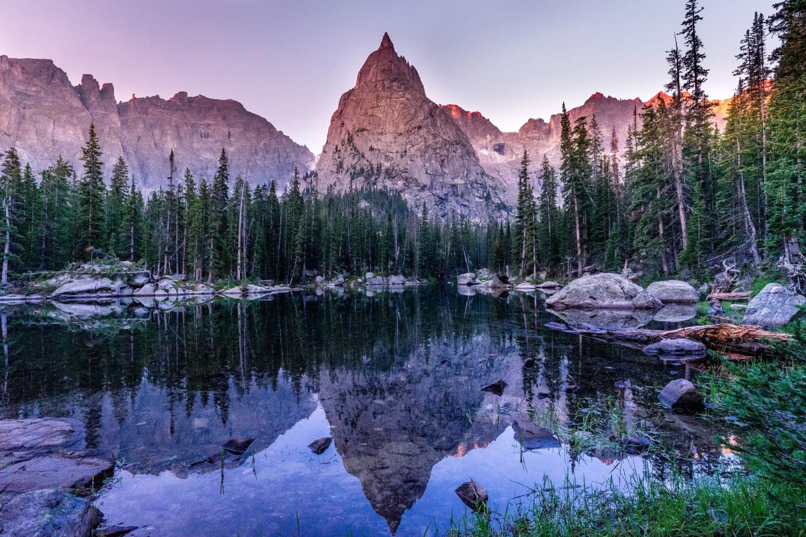
The Indian Peaks Wilderness is the Front Range's answer to Rocky Mountain National Park: 73,391 acres of glacial lakes, waterfalls and jagged 13,000-foot peaks just south of the park, an hour from Boulder. It's also one of the most heavily used wilderness areas in the country, which is why it has timed entry at Brainard Lake, a weekend shuttle at Hessie, and permits for every overnight stay in summer. Here's how to get in and where to go.
The basics
Congress designated the Indian Peaks Wilderness in 1978. Many of its summits, like Navajo, Apache, Shoshoni and Arikaree, carry tribal names chosen in 1914 by botany teacher Ellsworth Bethel, who drew on the existing Arapaho Peaks name. The wilderness straddles the Continental Divide, with trailheads on the east side near Ward and Nederland and on the west side near Granby.
- Overnight permits are required June 1 to September 15 for every group, by zone, through Recreation.gov ($11 each).
- Camping is in designated sites only at Caribou, Crater, Diamond and Jasper Lakes, and banned in the Four Lakes zone around Brainard from May 1 to November 30. Elsewhere, camp at least 100 feet from lakes, streams and trails.
- Campfires are banned everywhere east of the Divide, and at several west-side lakes including Crater, Caribou and Columbine.
- Groups are limited to 12 people and stock combined; groups of 8–12 need a day-use permit in summer.
- Dogs must be on a hand-held leash.
- Bear canisters are required for overnight stays near trailheads and in the Diamond and Jasper Lake zones.
- The area around Arapaho Glacier is Boulder's watershed and is closed to all public access.
- Drones can't be flown in wilderness.
Brainard Lake Recreation Area
Brainard Lake, at 10,600 feet west of Ward, is the gateway to the most popular part of the wilderness. In 2026 timed entry ran June 12 to October 1 for the Brainard, Long Lake, Mitchell Lake and Niwot lots, released on a rolling 15-day window on Recreation.gov. You can't arrive before your window. Without a reservation, park at the Gateway trailhead (open year-round) and walk or bike in for $10; a pilot shuttle from the Gateway ran on weekends in 2026. Cars are banned from November 15 to April 30, when the road becomes a ski and snowshoe route.
Brainard Lake
- Getting there
- Drive-up, or about 2 miles from the Gateway when the road is closed.
- What to shoot
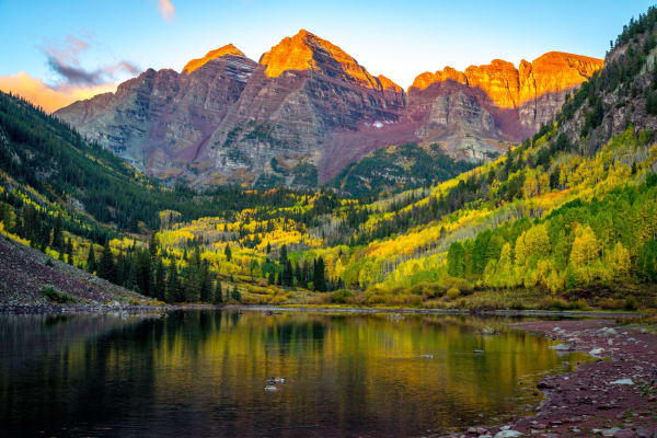
- The Indian Peaks skyline reflected in the lake at sunrise; golden willows and early snow in late September.
Long Lake and Lake Isabelle
- Getting there
- Lake Isabelle is about 4.5 miles round trip from the Long Lake trailhead, with about 500 feet of gain.
- What to shoot
- Navajo, Apache and Shoshoni Peaks above Lake Isabelle at sunrise. The lake is often drawn down in August, so go earlier in summer or in late September.
Pawnee Pass
- Getting there
- Continues past Lake Isabelle to the Divide at 12,541 feet; a long, steep day.
- What to shoot
- Views down both sides of the Divide, and tundra flowers in July.
Mitchell Lake and Blue Lake
- Getting there
- Mitchell Lake is half a mile from its trailhead; Blue Lake, at treeline beneath Mount Toll, is 1.5 miles farther.
- What to shoot
- Mount Toll's pyramid above Blue Lake, and wildflowers between the lakes.
Mount Audubon
- Getting there
- From the Beaver Creek trailhead to the 13,223-foot summit; the last half mile climbs about 600 feet over rock.
- What to shoot
- Sunrise over the plains and the whole Indian Peaks range from the top.
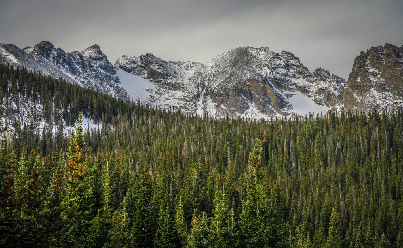
Hessie trailhead
The Hessie trailhead, past Eldora, sits at the site of a gold-boom townsite and leads to waterfalls and a chain of lakes. Parking is tight and enforced, with $50 tickets or towing, so in season take Boulder County's free shuttle from Nederland High School. In 2026 it ran Fridays to Sundays and holidays from May 22 to October 11, about every 15 minutes, and returns Memorial Day weekend 2027.
Lost Lake
- Getting there
- 4.2 miles round trip from the shuttle drop-off, about 800 feet of gain.
- What to shoot
- Waterfalls along the trail, old mine workings and a calm lake at 9,800 feet. Camping at 8 designated sites, first come, first served.
Woodland Lake
- Getting there
- 9.6 miles round trip.
- What to shoot
- A quiet lake under the Divide, with wildflower meadows along Jasper Creek.
Jasper and Devils Thumb Lakes
- Getting there
- Devils Thumb Lake is 11.6 miles round trip; it sits about a mile past Jasper Lake.
- What to shoot
- The Devils Thumb pinnacle above the lake; Devils Thumb Pass is 11,775 feet.
King Lake
- Getting there
- About 12 miles round trip with roughly 2,700 feet of gain.
- What to shoot
- A tundra lake just below the Divide near Rollins Pass.
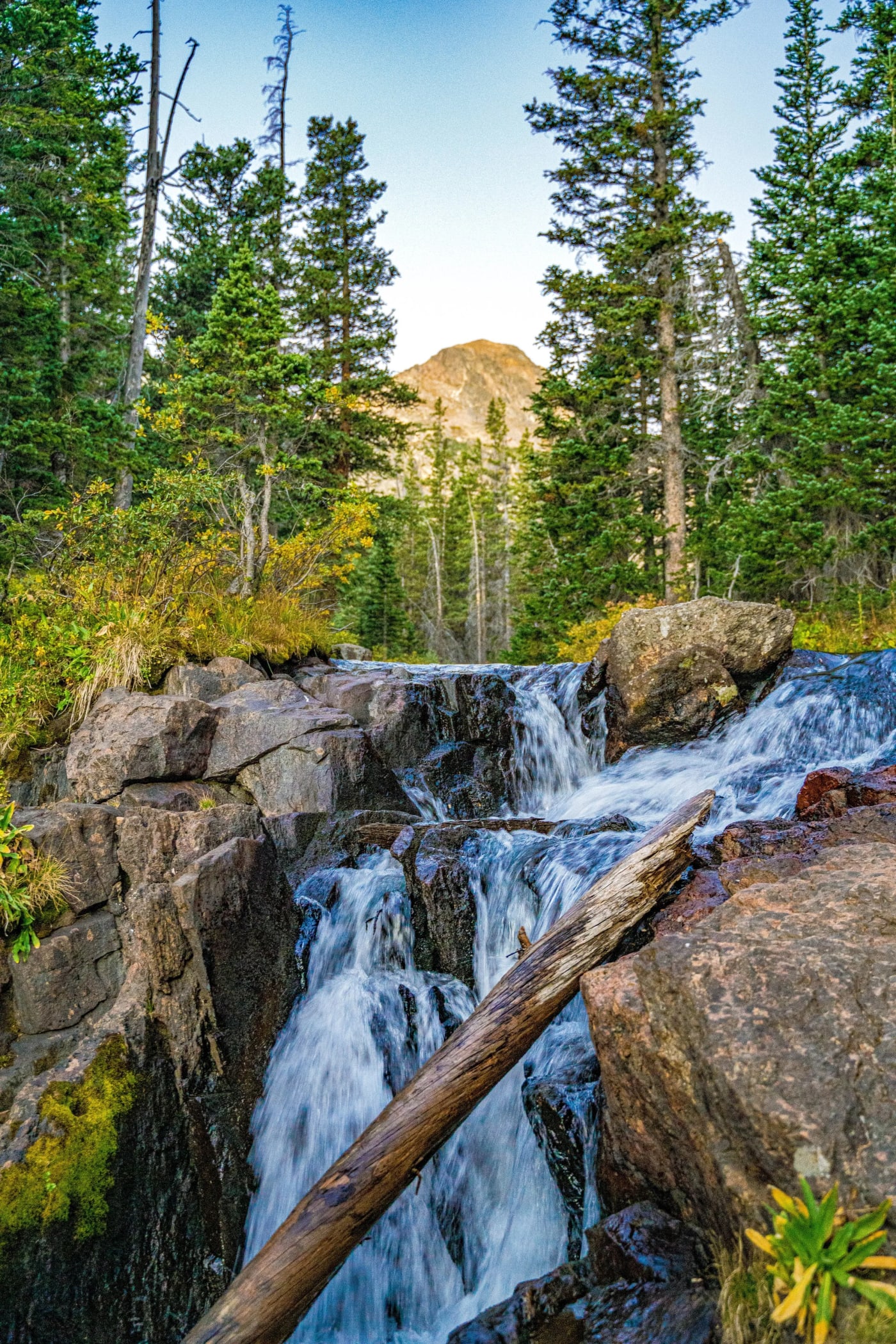
Fourth of July trailhead
About 5 miles of rough dirt road past Eldora lead to the Fourth of July trailhead (10,100 feet). The Forest Service calls it exceedingly popular, and the lot fills early on summer weekends.
Arapaho Pass
- Getting there
- 3.3 miles one way to the pass at 11,906 feet, passing the Fourth of July Mine at 1.8 miles. From the pass the trail drops 750 feet to Caribou Lake.
- What to shoot
- Mine relics, wildflowers in the basin, and the view down to Caribou Lake on the west side.
Diamond Lake
- Getting there
- About 5.4–5.8 miles round trip, 1,100 feet of gain.
- What to shoot
- A waterfall, wildflower meadows in July and a lake tucked beneath the Divide.
- Good to know
- Designated campsites and bear canisters required.
Arapaho Glacier Trail
- Getting there
- Branches off at the Fourth of July Mine and climbs to an overlook of the glacier.
- What to shoot
- Arapaho Glacier and the Arapaho Peaks from above.
- Good to know
- The glacier area itself is closed watershed. Stay on the trail.
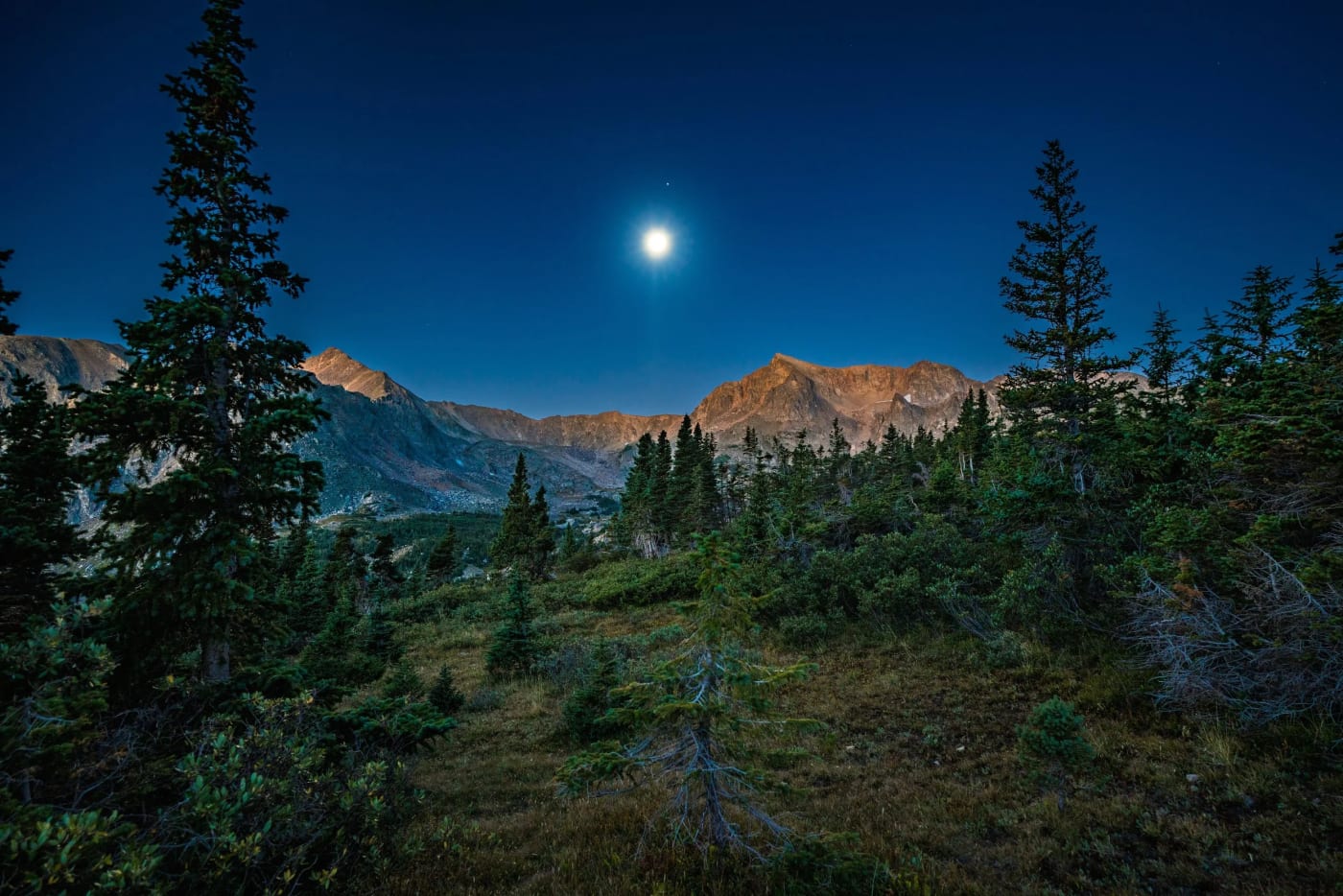
Rainbow Lakes and the Middle St. Vrain
Rainbow Lakes
- Getting there
- About 3 miles round trip to a string of forest lakes.
- What to shoot
- Calm morning reflections and beaver ponds; a good short trip when the big trailheads are full.
Middle St. Vrain and Buchanan Pass
- Getting there
- High-clearance 4WD can go about 4 more miles to the Buchanan Pass trailhead.
- What to shoot
- A long, quiet valley with meadows and the St. Vrain Glaciers at its head.
The west side: Monarch Lake and Lone Eagle Peak
The west side, reached from Granby and Lake Granby, is longer and wilder, with fewer people. The Monarch Lake trailhead charges $5 per day ($10 for 3 days, $15 for 7); America the Beautiful passes are accepted.
Crater Lake, Mirror Lake and Lone Eagle Peak
- Getting there
- About 14.3 miles round trip with roughly 2,700 feet of gain; many people backpack it.
- What to shoot
- Lone Eagle's slender granite spire reflected in Mirror Lake. Be at Mirror Lake early, before the wind; sunrise lights the spire from the east.
- Good to know
- Camping at Crater Lake is in designated sites only, with a permit.
Buchanan Pass from the west
- Getting there
- Follow the Cascade Creek trail; the Buchanan Pass trail branches off at 3.3 miles and climbs to 11,884 feet.
- What to shoot
- Waterfalls on Cascade Creek and long views from the pass.
Roaring Fork and Watanga Lake
- Getting there
- The Watanga Lake fork comes about 1.5 miles in; Stone Lake is 6.3 miles one way.
- What to shoot
- Remote lakes beneath Watanga Mountain.
Columbine Lake
- What to shoot
- An 11,060-foot lake beneath the Divide.
- Good to know
- The road is closed to cars from November 15 to June 15. No campfires at the lake.
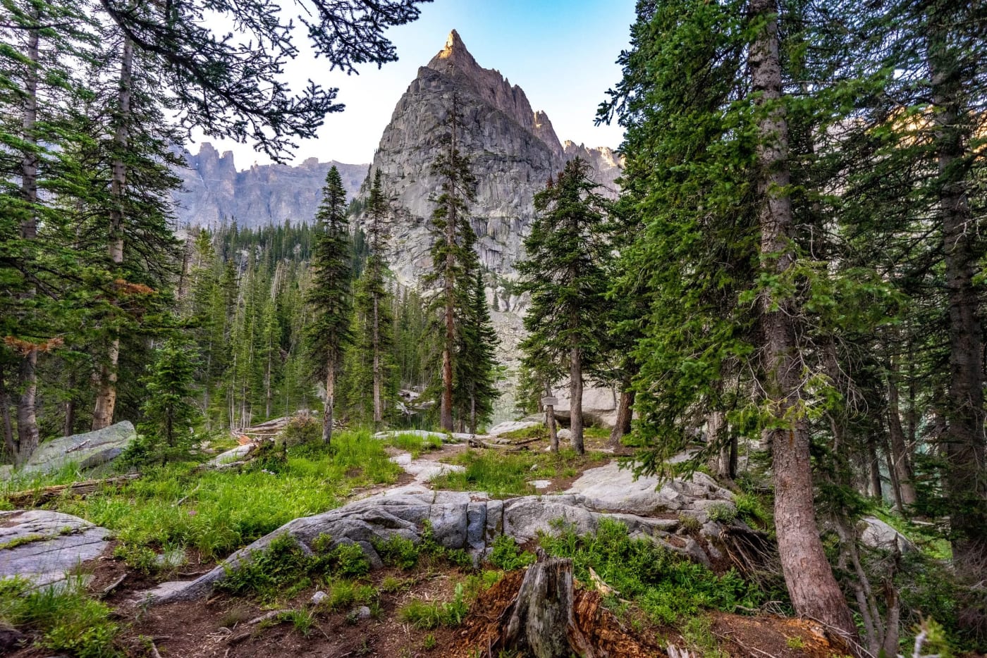
When to go
Snow lingers on many trails into early July. Mid-July to early August is wildflower season, with afternoon thunderstorms almost daily, so start early and be off passes by noon. September brings golden willows, aspen at lower elevations and far fewer people, and it's the best month for clear, calm mornings. Weekdays are dramatically quieter than weekends at every trailhead.
Photography tips
- Most east-side lakes look west toward the Divide, so sunrise is the time for reflections and alpenglow.
- Bring a polarizer to cut glare on the water and deepen the blue of the alpine lakes.
- Waterfalls on the Hessie and Fourth of July trails look best on overcast days or in open shade.
- Reserve Brainard timed entry the moment your date opens. Sunrise slots go first, and you can't enter before your window.
Spot guides mentioned here
Useful on this site
- Indian Peaks photos: Photos from the wilderness, all available as prints
- Rocky Mountain National Park guide: The park just to the north
- Planning Your Shot: Trail snow, weather alerts and sunrise odds
Questions
Do you need a reservation for Brainard Lake?
Yes, in summer. In 2026 timed entry ran June 12 to October 1 for the Brainard, Long Lake, Mitchell Lake and Niwot lots. Without one, you can walk or bike in from the Gateway trailhead for $10.
Do you need a permit to camp in the Indian Peaks Wilderness?
Yes, from June 1 to September 15 every overnight group needs a zone permit from Recreation.gov. Some lakes have designated sites only.
How do you get to Hessie trailhead?
Take Boulder County's free shuttle from Nederland High School, which runs Fridays to Sundays and holidays from late May to mid-October. Parking near the trailhead is very limited and enforced.
How long is the hike to Lone Eagle Peak?
About 14.3 miles round trip to Crater Lake from the Monarch Lake trailhead, with roughly 2,700 feet of gain. Many people make it an overnight trip.
Are campfires allowed in the Indian Peaks?
No campfires anywhere east of the Continental Divide, and none at several west-side lakes, including Crater, Caribou and Columbine.
Fees, reservations and road dates change. Confirm with the managing agency before you go. Sources: fs.usda.gov, recreation.gov, fs.usda.gov, bouldercounty.gov, fs.usda.gov, fs.usda.gov, trails.colorado.gov, fs.usda.gov.
More guides