Colorado Winter Hikes With Low Avalanche Danger
By Chris Heaton · access details checked October 2026
Plenty of Colorado's prettiest winter trails run under slopes that can slide, and some of the most popular snowshoe routes sit in real avalanche terrain. This guide sticks to places where the risk is low: foothills and plains parks with no avalanche terrain, flat lake loops, forested roads and routes the Colorado Mountain Club rates as simple terrain. It also lists the popular routes that aren't low-risk, so you know which ones to save for a day with training, gear and a good forecast. Low risk is never no risk. Check the avalanche forecast before every high-country trip.
How avalanche danger works for hikers
The Colorado Avalanche Information Center (CAIC), part of the state Department of Natural Resources, publishes a daily backcountry forecast at avalanche.state.co.us. It uses the North American danger scale: 1 Low, 2 Moderate, 3 Considerable, 4 High and 5 Extreme. Even Low means 'generally safe' conditions with unstable snow possible on isolated features, not zero danger.
Slab avalanches usually start on slopes between about 30 and 45 degrees, and they keep running into flatter ground below. That's the trap for hikers: you can be on an easy trail and still be under a slope that slides. In January 2022, two snowshoers were killed near Hoosier Pass on a slope of about 20 degrees, below a wind-loaded 35–38 degree snowfield, on a day CAIC rated Considerable.
- Check the CAIC forecast for the zone you're visiting, every trip.
- Look up, not just down. If the trail runs below open, steep slopes or along the bottom of a gully, you're in a runout zone.
- Forest, gentle open meadows and flat valley floors well away from steep slopes are the lower-risk places.
- The Avalanche Terrain Exposure Scale (ATES) rates terrain as 0 non-avalanche, 1 simple, 2 challenging, 3 complex or 4 extreme. No Colorado agency rates every trail; the Colorado Mountain Club lists volunteer ratings on its route pages, and the paid onX Backcountry app has ATES maps for some areas.
Plains and foothills parks: no avalanche terrain
The easiest way to avoid avalanches is to stay low. These parks don't have the big, steep snow slopes that slide, and they often look their best the morning after a storm. The hazard here is ice, so bring traction.
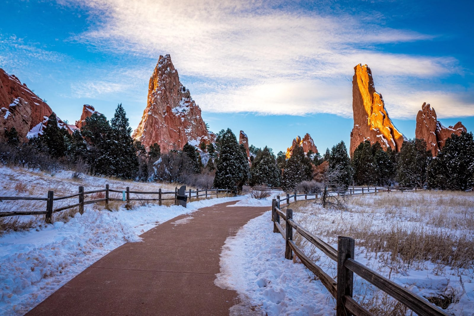
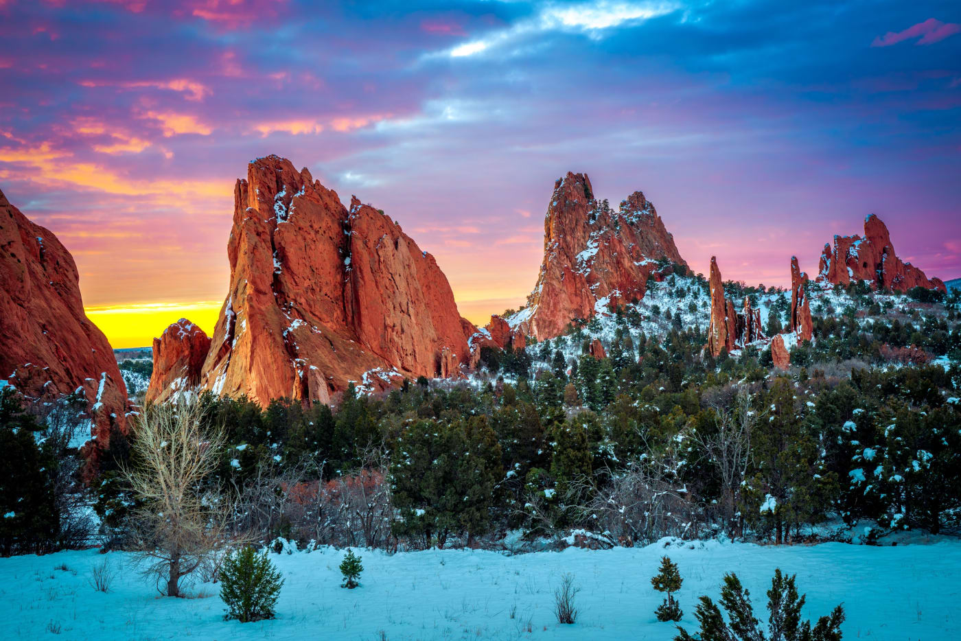
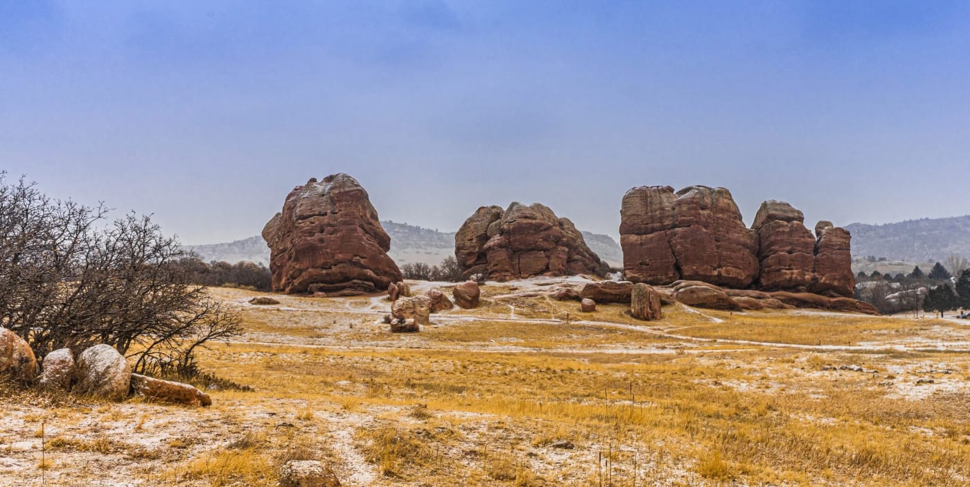
Garden of the Gods
- Getting there
- Paved and dirt loops around the main fins, a few minutes from parking.
- What to shoot
- Red rock under fresh snow, with Pikes Peak behind. Go early, before the snow melts off the rock.
Red Rocks Park and South Valley Park
- Getting there
- Short trails among the rock formations.
- What to shoot
- Snow on the amphitheater rows and frosted grass below the red slabs.
Paint Mines Interpretive Park
- Getting there
- Short trails through colorful clay hoodoos.
- What to shoot
- Snow settles into every crease of the white, pink and ochre clay.
Rocky Mountain Arsenal National Wildlife Refuge
- Getting there
- A wildlife drive and flat prairie trails.
- What to shoot
- Bison in falling snow, and lone cottonwoods on the white prairie.
Golden Gate Canyon State Park
- Getting there
- The Horseshoe Trail is about 1.8 miles one way, hiking only.
- What to shoot
- Snowy aspen and meadows, and Panorama Point's view of the Continental Divide.
- Good to know
- Needs a state parks pass or daily vehicle pass.
Staunton State Park
- Getting there
- Davis Ponds and the historic cabins is about 6 miles with 600 feet of gain; Elk Falls is about 8 miles with 1,500 feet.
- What to shoot
- Granite domes and old ranch cabins under snow.
- Good to know
- North Elk Creek Trail closes March 1 to June 15.
Mueller State Park
- Getting there
- Elk Meadow is about 2 miles and Stoner Mill a 2-mile loop.
- What to shoot
- Pikes Peak over snowy meadows from Elk Meadow.
- Good to know
- No dogs on trails and no snowshoe rentals in the park.
Rocky Mountain National Park: the flat lake loops
Bear Lake Road stays open all winter, with snow, ice and occasional traction requirements, and timed entry ended for 2026 in October; the park says snowshoeing needs no reservation, though the entrance fee applies. The park also warns that many winter trails are near or in avalanche terrain, and that its trails aren't marked or maintained for winter. These short loops keep you on gentle ground. Dogs aren't allowed on any park trail.
- Ranger-led snowshoe walks run mid-January to mid-March. East-side walks book a week ahead through the Rocky Mountain Conservancy; on the west side snowshoes are provided (970-627-3471).
- Parking at Bear Lake can fill by mid-morning on winter weekends.
- Since January 1, 2026, nonresidents without an annual pass pay an extra per-person fee at Rocky and several other national parks. Check current fees on the park's website before you go.
Sprague Lake
- Getting there
- A flat loop of about half a mile, wheelchair accessible.
- What to shoot
- The Continental Divide from the east shore.
Bear Lake loop
- Getting there
- A 0.7-mile loop around the lake, snow- and ice-covered from about October to early June.
- What to shoot
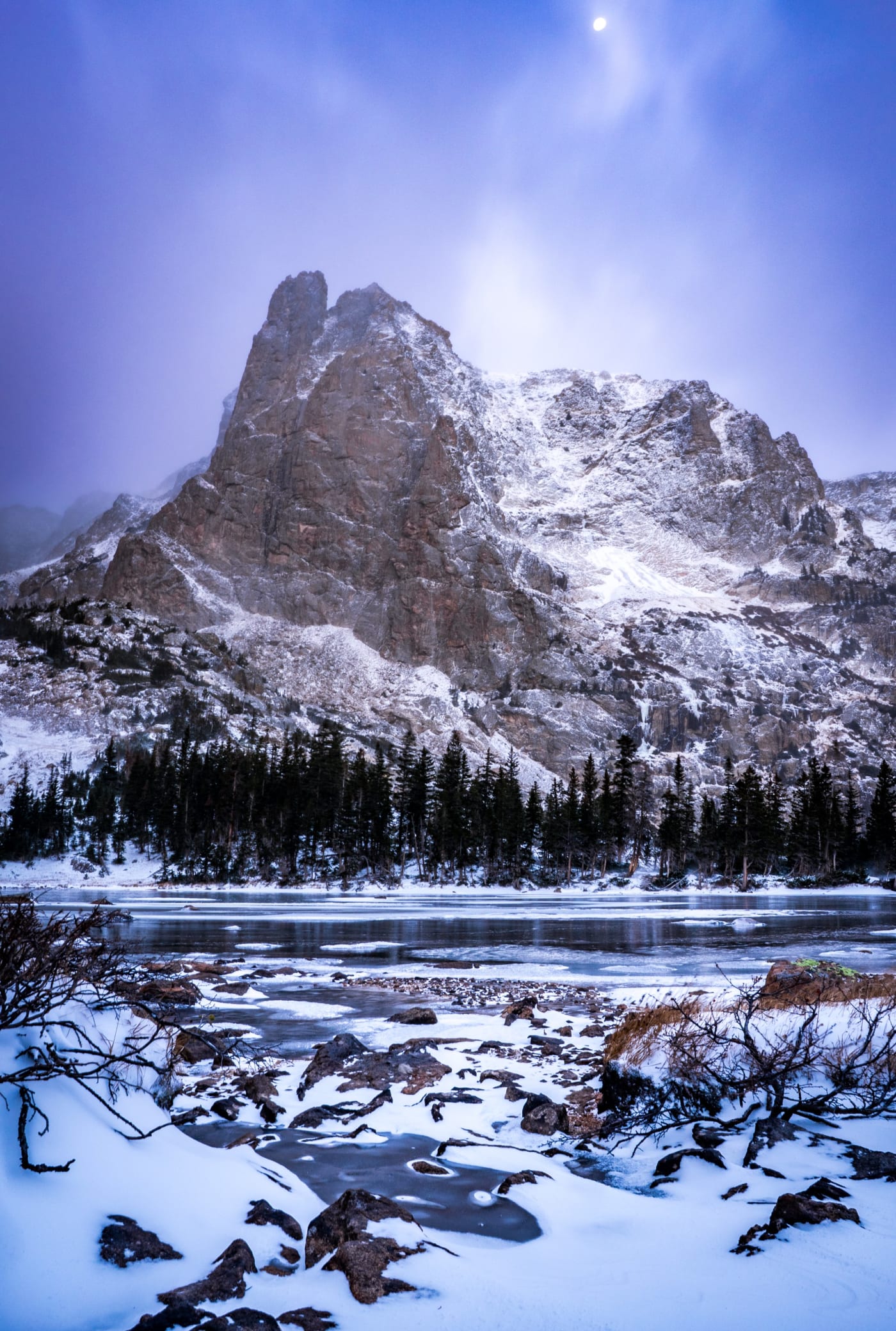
- Hallett Peak above the frozen lake.
- Good to know
- Stay on the lakeshore loop. The park says avalanches can happen almost anywhere in the Bear Lake area.
Lily Lake
- Getting there
- A 0.8-mile level loop, wheelchair accessible.
- What to shoot
- Longs Peak, Meeker Mountain and Twin Sisters around the lake.
Coyote Valley Trail
- Getting there
- A level, accessible mile along the Colorado River.
- What to shoot
- The Never Summer Mountains, and elk and moose, which the park says are most often seen early morning and early evening.
Indian Peaks and the Front Range high country
Brainard Lake road from the Winter Gateway
- Getting there
- The road is closed to cars from November 15 to April 30. It's about 2 miles each way to Brainard Lake; Lefthand Reservoir Road is another 2-mile option.
- What to shoot
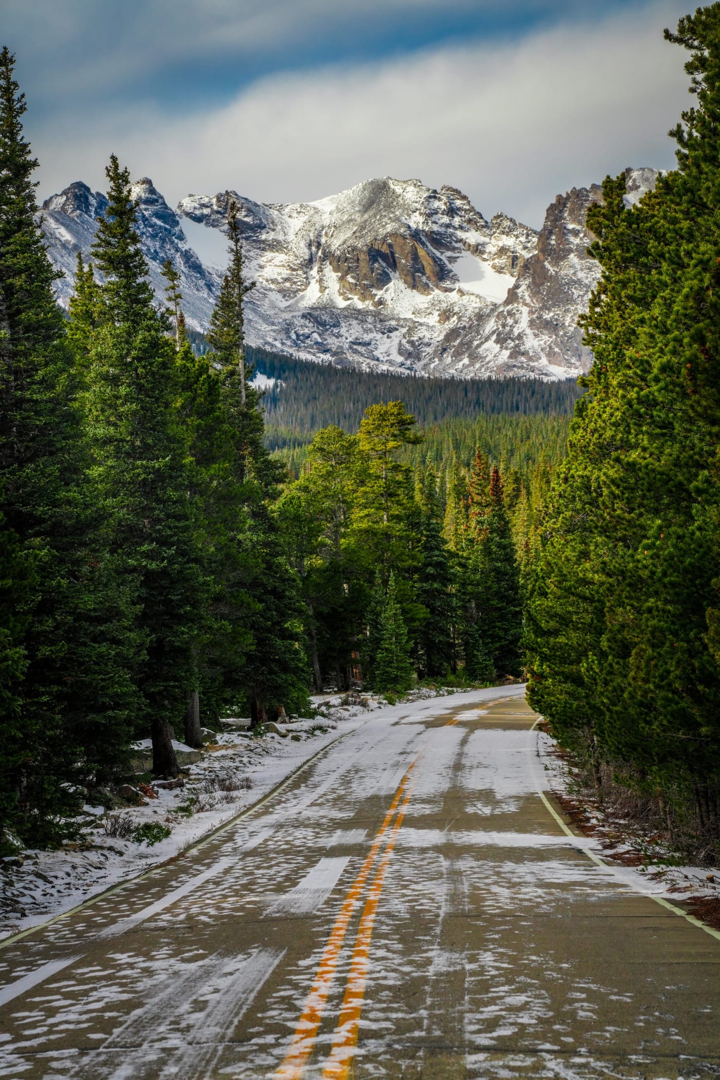
- The Indian Peaks skyline over the snowy lake and timber.
- Good to know
- The Colorado Mountain Club rates it simple terrain. $10 day-use fee at the plowed Gateway lot, which has restrooms. Dogs are allowed only on the Brainard and Lefthand roads in winter, on a hand-held leash. The longer trails to Lake Isabelle and Blue Lake aren't part of that rating.
Meridian Trail
- Getting there
- About 3.3 miles one way with about 1,700 feet of gain, to about 10,700 feet. A gradual, steady climb with four small stream crossings.
- What to shoot
- Quiet snowy forest and meadows.
- Good to know
- Rated simple terrain by the Colorado Mountain Club. A Forest Service parking permit is required.
Summit County
Frisco makes a good base: several low-angle trails start right in town.
Rainbow Lake
- Getting there
- About three quarters of a mile one way, from about 9,100 to 9,560 feet; rated easy by the town.
- What to shoot
- A wetland boardwalk, aspen and lodgepole pine, and a beaver pond.
- Good to know
- It connects to the longer Peaks Trail toward Breckenridge, which isn't rated.
Frisco Nordic Center
- Getting there
- About 10 km of managed snowshoe trails, with rentals.
- What to shoot
- Lake Dillon and the Tenmile Range from the peninsula.
- Good to know
- Opening is projected for November 26, 2026, weather permitting.
Sapphire Point Overlook
- Getting there
- A 0.6-mile loop with little gain, at about 9,500 feet.
- What to shoot
- Lake Dillon framed by the Gore and Tenmile ranges.
- Good to know
- Not maintained in winter, so expect ice; no restrooms.
North Tenmile Creek
- Getting there
- About 2 miles to the wilderness boundary and 3.4 miles to the Gore Range Trail. The first mile is steep, then it levels out.
- What to shoot
- Aspen and pine along the creek.
- Good to know
- The Colorado Mountain Club rates it simple, but advises checking the forecast because the trail starts in a narrow valley.
Farther afield
Fish Creek Falls
- Getting there
- The overlook is paved and about a quarter mile; the lower falls bridge is also about a quarter mile. Open year-round.
- What to shoot
- The frozen falls, often with ice climbers on them.
- Good to know
- $5 per vehicle. The trail to the upper falls and Long Lake isn't covered by any rating.
Grand Mesa
- Getting there
- Groomed Nordic networks at Skyway, County Line and Ward Lake; the West Bench Trail is about 7 miles with 400 feet of gain.
- What to shoot
- A wide, flat-topped mesa of snowy forest and frozen lakes at about 10,000 feet.
- Good to know
- Rated simple terrain by the Colorado Mountain Club. A Forest Service parking permit is required.
Great Sand Dunes National Park
- Getting there
- The dunes are open year-round, day and night. The mountain trails are hard to reach in winter.
- What to shoot
- Snow on the dunes with the Sangre de Cristos behind, and elk and pronghorn in the quiet season.
- Good to know
- Piñon Flats Campground is closed November to March.
Popular, but in avalanche terrain
These are well-loved winter routes, and several are on my site, but they're not low-risk. Do them only with avalanche training, a beacon, shovel and probe, partners who carry the same, and a forecast check. On high-danger days, skip them.
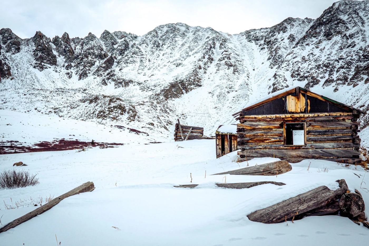
Mayflower Gulch
- Getting there
- About 3.2 miles round trip to the Boston Mine cabins.
- What to shoot
- The cabins below the Tenmile cirque.
- Good to know
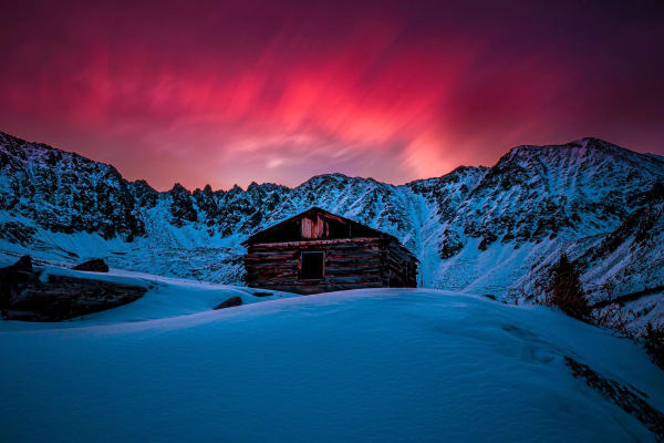
- The Colorado Mountain Club rates the area complex terrain, and the slopes around the basin are prone to avalanches. If you go, stay low around the cabins.
Emerald Lake, Rocky Mountain National Park
- What to shoot
- Hallett Peak and Flattop above the frozen lake.
- Good to know
- Multiple large avalanches came down above Emerald Lake in May 2019 and caught seven people. Snowshoers have also triggered a slide on the Emerald Lake Trail near Nymph Lake.
Herman Gulch
- Good to know
- The Colorado Mountain Club says the drainage has several avalanche chutes and doesn't recommend the route under avalanche conditions.
Echo Lake and the closed Mount Blue Sky road
- Good to know
- Rated complex terrain by the Colorado Mountain Club; check the avalanche situation before snowshoeing the road.
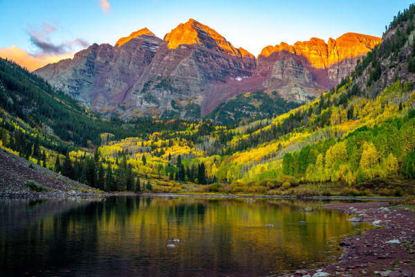
Maroon Creek Road to the Maroon Bells
- Good to know
- About 6.4 miles one way from the winter gate. In 2019, avalanche debris buried the road between the T-Lazy-7 and Maroon Lake.
St. Mary's Glacier
- Good to know
- In April 2025 a wind slab caught a Colorado Mountain Club instructor and student on terrain that looked low-angle and low-consequence.
Hoosier Pass
- Good to know
- Two snowshoers died here in a January 2022 avalanche while on gentle ground below a steeper slope.
Gear and safety
- Microspikes or similar traction for packed snow and ice; snowshoes when the snow is deep and soft. The park service recommends traction on any icy trail.
- Layers, waterproof boots, gaiters, poles, sunglasses and sunscreen.
- Days are short: near the winter solstice, Denver gets only about 9 hours and 20 minutes of daylight.
- Don't rely on your phone or on other people's tracks for navigation, and stay off frozen lakes and streams unless you know the ice.
- Tell someone your plan, and be willing to turn around.
- Don't walk in ski tracks, and pack out all trash.
- Know the signs of hypothermia: shivering, exhaustion, confusion, fumbling hands, slurred speech and drowsiness. Get help immediately.
- On I-70 between Morrison and Dotsero, the Traction Law runs September 1 to May 31. Tires need at least 3/16 inch of tread and a winter, all-weather or M+S rating, and since a 2025 update that applies to AWD and 4WD vehicles too. Otherwise carry chains or an approved traction device.
Photography tips
- Go the morning after a storm, before wind and sun strip the snow from trees and rock.
- Snow fools the meter. Add about +1 to +2 stops of exposure compensation and watch the histogram so the highlights don't clip.
- Low winter sun rakes across the snow all day, so side light works well even at midday.
- Keep spare batteries in an inside pocket, and seal the camera in a bag before you go back indoors so condensation forms on the bag, not the lens.
- Frozen lakes make clean, simple foregrounds. Shoot them from the shore.
- Wildlife parks like the Arsenal and Coyote Valley reward a long lens and patience in falling snow.
Spot guides mentioned here
Useful on this site
- Colorado winter photography guide: Winter spots, road closures and exposing for snow
- Planning Your Shot: Avalanche danger, pass closures and trail snow in one place
- Rocky Mountain National Park guide: The park in every season
Questions
Can you get caught in an avalanche on a flat trail?
Yes. Avalanches start on slopes of roughly 30 to 45 degrees and run out onto flatter ground below. The two snowshoers killed near Hoosier Pass in 2022 were on a slope of about 20 degrees.
What does Low avalanche danger mean?
Generally safe conditions, with unstable snow still possible on isolated terrain features. It's the lowest of five levels: Low, Moderate, Considerable, High and Extreme.
Where can I snowshoe near Denver without avalanche danger?
Golden Gate Canyon and Staunton State Parks, the Brainard Lake road from the Winter Gateway, and the flat lake loops in Rocky Mountain National Park like Sprague Lake and Bear Lake are all low-risk options.
Do I need a reservation for Rocky Mountain National Park in winter?
Timed entry ended for 2026 in October, and the park says snowshoeing needs no reservation. The entrance fee still applies.
Is Mayflower Gulch safe from avalanches?
Not entirely. The Colorado Mountain Club rates the area complex terrain, and the slopes around the basin are prone to avalanches. Check the forecast and stay low near the cabins.
Microspikes or snowshoes?
Microspikes for packed snow and ice, which covers most popular trails; snowshoes when the snow is deep and soft enough that you sink in.
Fees, reservations and road dates change. Confirm with the managing agency before you go. Sources: avalanche.state.co.us, avalanche.org, avalanche.org, avalanche.org, backpacker.com, summitdaily.com, nps.gov, nps.gov, nps.gov, nps.gov, home.nps.gov, nps.gov, nps.gov, nps.gov, cmc.org, fs.usda.gov, cmc.org, townoffrisco.com, fs.usda.gov, cpw.state.co.us, cpw.state.co.us, cmc.org, steamboatchamber.com, cmc.org, home.nps.gov, cmc.org, cbsnews.com, cmc.org, cmc.org, cbsnews.com, cmc.org, codot.gov, nps.gov, lnt.org, cdc.gov.
More guides